

What lies beneath Europe’s sinking ground?
Land subsidence is becoming increasingly visible across Europe. New research examines how better monitoring, shared data and a deeper understanding of the subsurface can help assess and manage its impacts.
01/09/2026 By BGS Press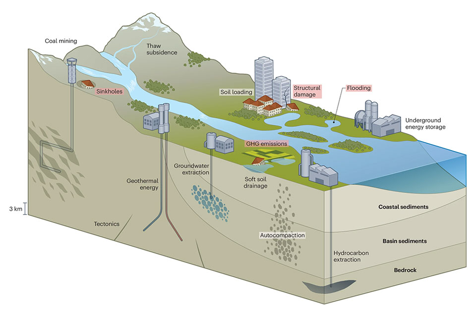

Subsidence is the downward movement of the ground and is widespread across Europe. Its causes and effects vary greatly depending on location, creating issues such as home and infrastructure damage, increased susceptibility to flooding and loss of groundwater storage capacity. Climate change could increase these pressures in certain areas through more frequent droughts and heatwaves and changing groundwater recharge patterns.
Satellite radar has changed the way researchers study land movement. Europe’s Copernicus Land Monitoring Service, particularly the European Ground Motion Service, provides open-access information on ground motion across most of the European landmass. It helps researchers identify areas of subsidence and compare developments across countries. However, to understand why some land is sinking, satellite measurements need to be combined with subsurface knowledge: geology, groundwater levels, soil properties and human activities both above and below ground.
An international group of researchers, led by the Geological Survey of the Netherlands and including experts from BGS, has authored a new paper, Lessons learned from European land subsidence, exploring the insights Europe has gathered from decades of studying land subsidence. The paper highlights the fact that such subsidence is not only a scientific concern but also a societal one, which needs a multi-system approach to ensure it is properly managed.
What causes subsidence?
The study describes a wide range of natural and human-induced processes that can contribute to land subsidence, including:
- tectonic movements
- groundwater extraction
- mining
- hydrocarbon extraction
- soft soils
- natural ground compaction
The researchers also point to possible new causes linked to the energy transition. Technologies such as geothermal energy, carbon capture and storage, underground gas storage and hydrogen storage all make use of the subsurface. Depending on local conditions and how these systems are operated, such activities may influence ground motion. This makes careful monitoring and integrated assessment essential.

Land subsidence is common across Europe. In the UK, we have measured subsidence up to 2 cm per year in some costal areas. This has important implications for coastal erosion and long-term impacts from sea level change.
Ekbal Hussain, remote sensing geoscientist.
Better decisions need better data
Better subsurface insight helps governments, industry and society make more informed decisions about water, infrastructure, climate adaptation and the energy transition.
Europe already has an important foundation for this: open data infrastructures, national monitoring programmes and cooperation between geological surveys, research institutes and policymakers. The challenge now is to bring this data together more effectively. By combining satellite observations with subsurface data and physics-based models, governments and industry can better distinguish between possible causes of land subsidence, assess future risks and weigh appropriate measures. It is hoped that this knowledge will support future risk assessment and decision-making across Europe.
Relative topics
Related news
What lies beneath Europe’s sinking ground?
01/09/2026
Land subsidence is becoming increasingly visible across Europe. New research examines how better monitoring, shared data and a deeper understanding of the subsurface can help assess and manage its impacts.
Secrets of an ancient supervolcano uncovered that change our understanding of England’s geological past
28/08/2026
Scientists have found evidence of a long-hidden link between an ancient buried ash layer in Scandinavia and a concealed supervolcano in eastern England.
Experiences from our Commonwealth Fellowship at the British Geological Survey
24/08/2026
Scientific fellowships foster professional growth, international collaboration and exposure to world-class research environments. A group of visiting Commonwealth Fellowship researchers share their experience of being hosted at the BGS Inorganic Geochemistry Facility.
Building Europe’s geological future
20/07/2026
BGS scientists are contributing to a continent-wide initiative that is strengthening collaboration across borders to tackle shared subsurface challenges and unlock new opportunities.
Delving deep into mountains for future water security
16/07/2026
A BGS-led project is using new water-tracing investigation methods, geophysics and modelling to understand how water moves from mountains to the lowlands, helping to improve water security for billions of people.

Latest research emphasises climate-related subsidence risk to millions of British homes
11/06/2026
New data from BGS highlights the projected future impact of warmer, drier summers and underlines the need for mitigation measures in susceptible regions.
Ukraine and the UK strengthen their commitment to geological cooperation
10/06/2026
A new Memorandum of Understanding reaffirms the UK’s support of Ukraine’s ambitions to develop its critical mineral resources, paving the way for collaboration through capacity-building programmes.
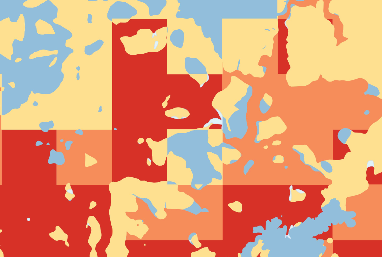
GeoClimate Shrink–Swell
GeoClimate clay shrink-swell provides information on the projected future change in susceptibility of clay shrink–swell across Great Britain due to climate change.
International science consortium to survey the health, economic value and social importance of Lake Victoria
22/05/2026
The project will replicate the 1927 survey to assess changes in the lake’s health, economic value and social importance.
BGS contributes to UN sand and sustainability report
19/05/2026
The new report highlights the impact of poor governance and unsustainable sand mining practices, calling on policymakers to take action.
BGS GeoClimate – dataset launch webinar
Event on 02/06/2026
The virtual launch of our new BGS GeoClimate dataset – helping mitigate the economic risk from shrink-swell subsidence. Event recording now available
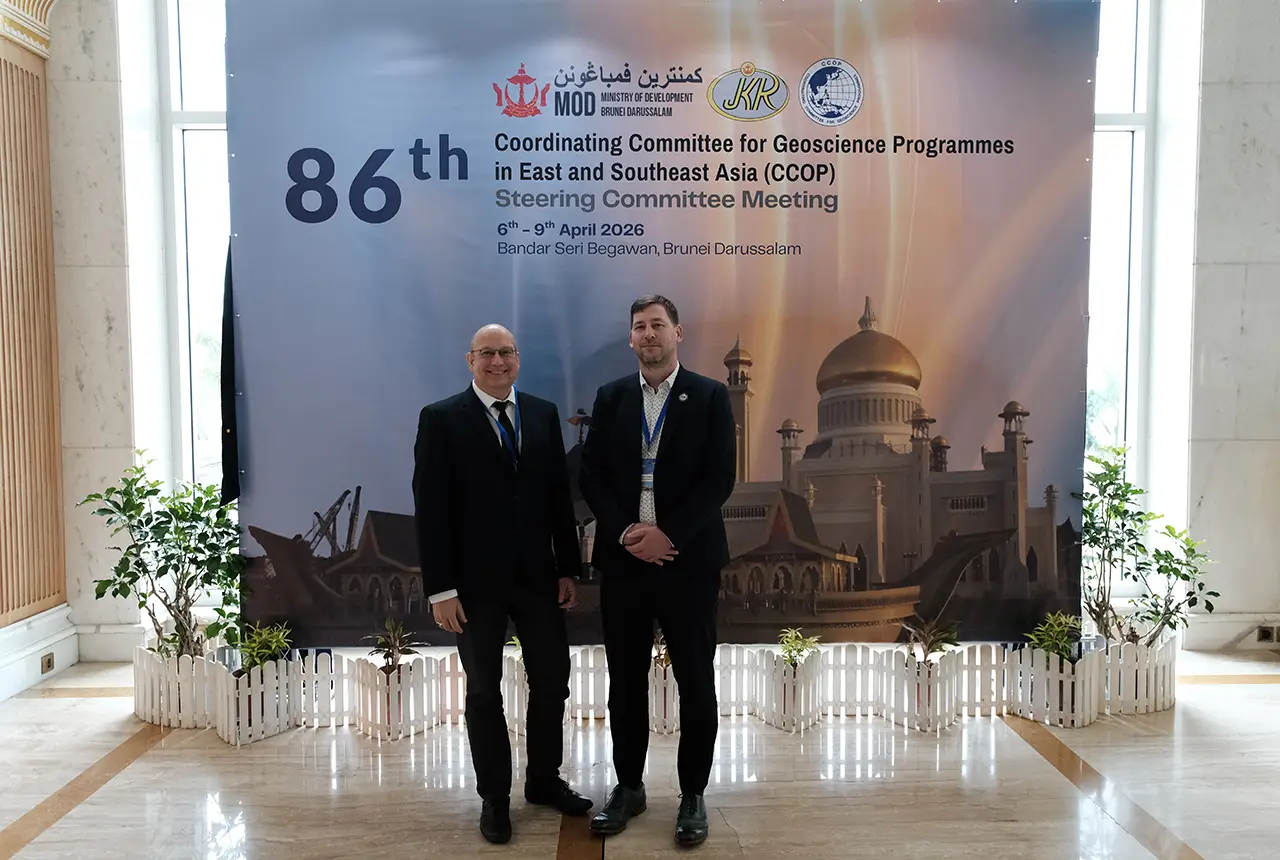
BGS engineering geologist elected to CCOP
29/04/2026
Marcus Dobbs has been elected as vice-chair of the advisory group for the Coordinating Committee for Geoscience Programmes in East and Southeast Asia.