

BGS strengthens scientific links with Icelandic partners through Research and Innovation Scotland initiative
BGS researchers recently visited Iceland as part of a project developing international partnerships and identifying opportunities for future collaborative research.
06/08/2026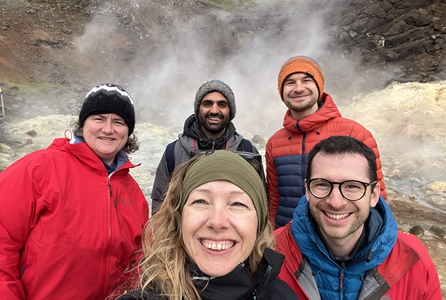

Researchers from BGS recently visited Iceland as part of a Research and Innovation Scotland (RIS) International Collaboration Fund project aimed at developing international partnerships and identifying opportunities for future collaborative research. The three-day visit brought together researchers working across marine geoscience, volcanology, geological hazards, geothermal energy, carbon storage and offshore infrastructure from organisations including Iceland GeoSurvey (ÍSOR), the Icelandic Meteorological Office (IMO), the University of Iceland, Carbfix and BGS.
The proposal was developed through discussions between BGS scientists based at the Lyell Centre, in collaboration with Prof Eric Bréard at the University of Edinburgh, with the aim of connecting expertise in marine geoscience, volcanology and hazard assessment with Iceland’s unique geological setting and internationally recognised expertise in active volcanic and geothermal systems.
A key objective of the RIS-funded activity was strengthening connections between researchers and organisations based in Scotland and abroad working across complementary scientific disciplines. Through a combination of workshops, field visits and technical discussions, the visit provided an opportunity to develop new relationships, exchange knowledge and identify future collaborative research opportunities.
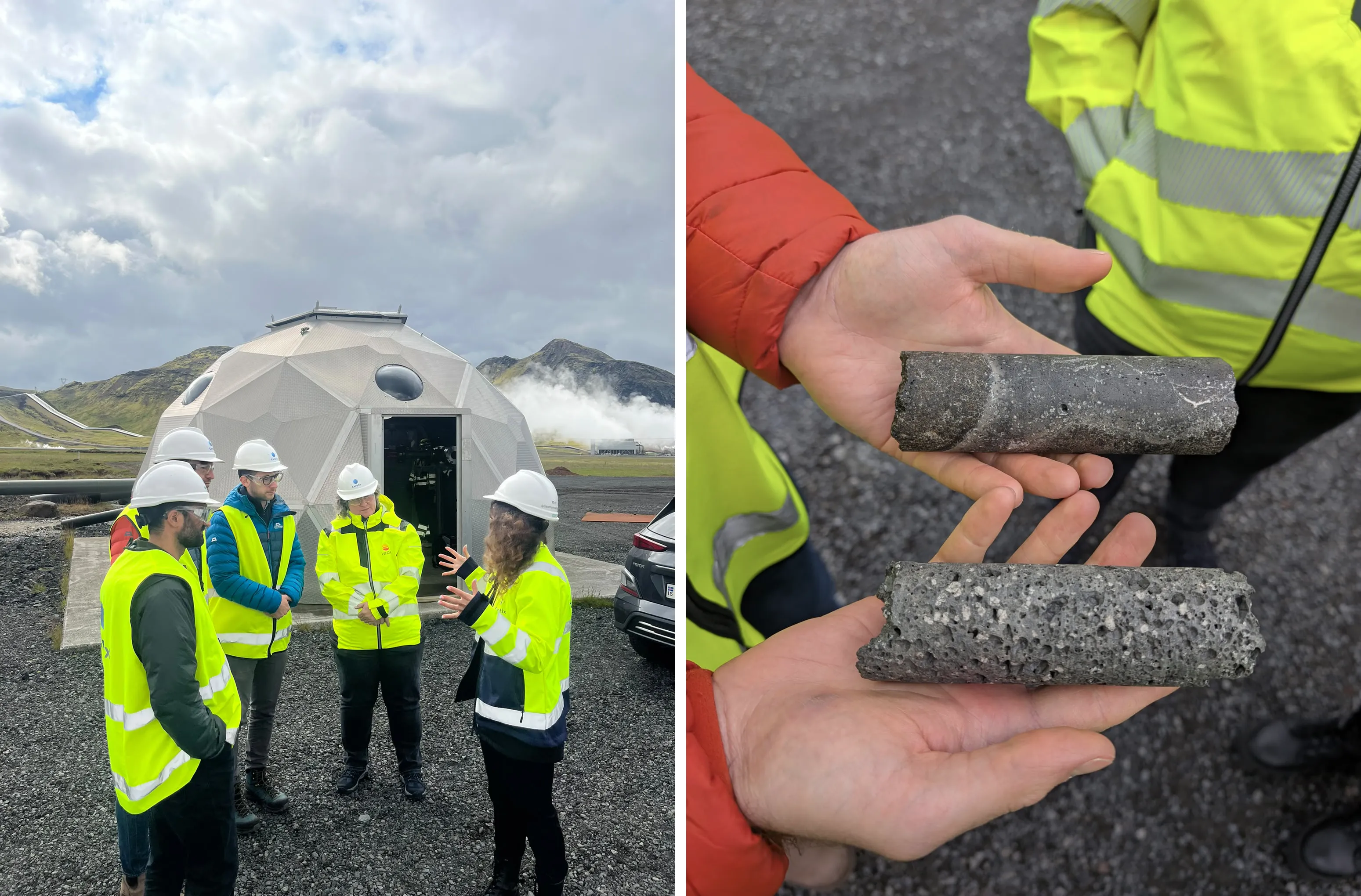
Visit to Carbfix facilities to discuss carbon mineralisation and subsurface characterisation. BGS © UKRI 2026.
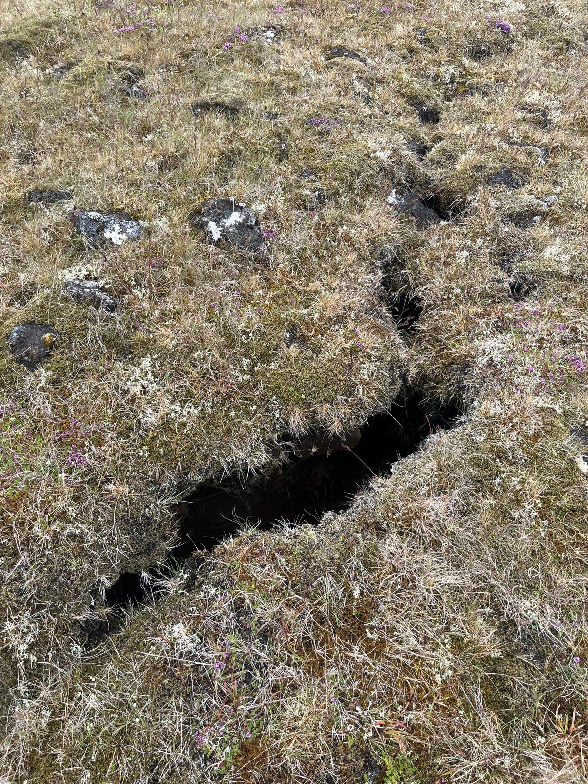
Recent ground fractures associated with volcanic activity around Grindavík. BGS © UKRI 2026.
The visit also built upon relationships established through previous collaboration between BGS and ÍSOR, including the ‘Offshore and coastal region geological and geomorphological assessment: Icelandic windfarm suitability’ (OGGA-IWS) project undertaken in 2024.
ÍSOR hosted a workshop that brought together researchers from BGS, ÍSOR, the Icelandic Meteorological Office and the University of Iceland. Presentations covered marine geophysical surveying, geological hazards, volcanology, offshore infrastructure, geothermal energy, carbon storage and approaches to translating scientific understanding into practical decision making.
ÍSOR colleagues presented newly acquired marine geophysical datasets and outlined plans for using their recently acquired multichannel sparker system for a wide range of marine investigations. Discussions highlighted opportunities to combine Icelandic marine geophysical acquisition capabilities with BGS expertise in marine geological interpretation, hazard assessment and offshore infrastructure characterisation.
Field visits to the Reykjanes Peninsula provided an opportunity to observe recent volcanic activity, faulting and deformation around Grindavík. Discussions focused on how geological information can be used to improve understanding of hazards affecting communities and infrastructure and on opportunities to investigate the poorly characterised offshore continuation of the recent fault and volcanic systems. The delegation also visited Carbfix’s facilities in Keflavík and Hellisheiði, where researchers learned more about Iceland’s internationally recognised carbon mineralisation technology. Discussions explored future opportunities for knowledge exchange relating to basalt-hosted carbon storage and subsurface characterisation, including potential relevance to future developments in Scotland and elsewhere in the UK.
A key outcome of the visit was the identification of several future collaborative opportunities spanning marine geoscience, offshore hazard mapping, marine geophysical surveys, carbon storage, infrastructure resilience and geological characterisation of the Icelandic shelf.
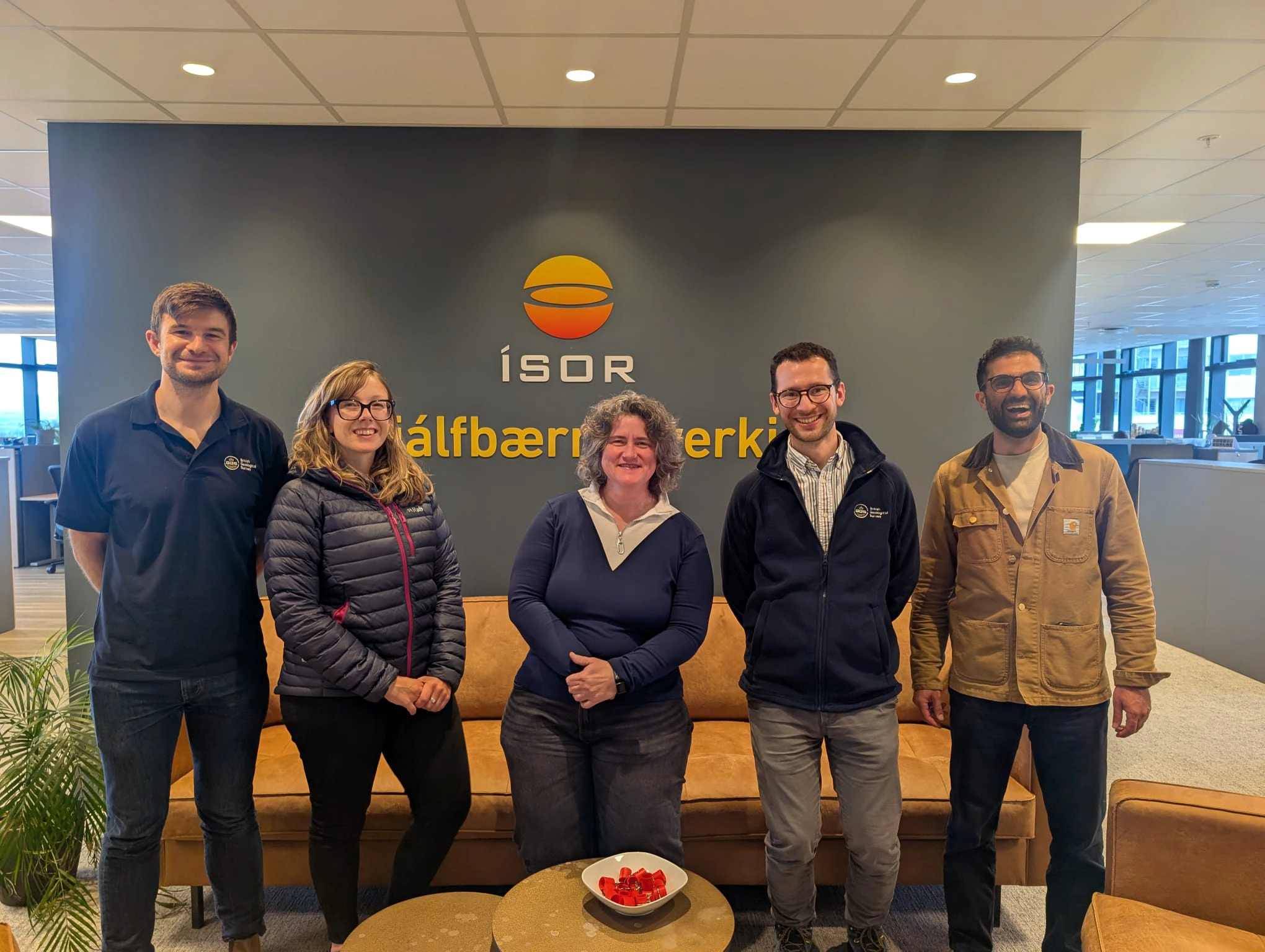
BGS delegation and Icelandic collaborators at ÍSOR headquarters, Reykjavík. BGS © UKRI 2026.
The project was made possible through BGS’s membership of the Scottish Alliance for Geoscience, Environment and Society (SAGES), a partnership of Scottish research institutions that promotes collaboration across the environmental sciences. As a member organisation of RIS, SAGES provides an important mechanism for developing new international partnerships and collaborative research opportunities.
The visit demonstrated the value of international collaboration supported through RIS funding, helping create new connections between researchers and organisations with complementary skills and expertise. It also highlighted how Icelandic strengths in active volcanic and tectonic systems can be combined with BGS experience in offshore geological mapping, geotechnical characterisation and decision-support products to address shared scientific and societal challenges.
About the author

Dr Duncan Stevens
Marine geoscientist
Relative topics
For more information, please contact BGS press (bgspress@bgs.ac.uk) or call 07790 607 010.
About the British Geological Survey (BGS)
The British Geological Survey is a world-leading geological survey and global geoscience organisation, focused on public-good science for government and research to understand earth and environmental processes.
We are the UK’s premier provider of objective, impartial and authoritative geoscientific data, information and knowledge to help society to use its natural resources responsibly, manage environmental change and build resilience capabilities.
From resource management and environmental protection to natural hazard mitigation and climate change adaptation, our work underpins many of the key challenges and opportunities facing the UK today.
Related news
BGS research into drought-exposed soils wins award
26/08/2026
A research paper investigating how temperate soils respond to drought has been announced as the winner of the Land Best Paper Award.
Coastal retreat in the past: the legacy of truncated drumlins
07/08/2026
The UK’s coasts have been responding to changing sea levels for thousands of years, but some of the best evidence of those changes now lies hidden beneath the waves.
Collecting beach pebbles: fun hobby but is it legal?
14/07/2026
The UK coastline will be inundated with keen holidaymakers this summer, many of whom will take a memento of their trip home in the shape of a pebble or two — but is it legal?
BGS contributes to UN sand and sustainability report
19/05/2026
The new report highlights the impact of poor governance and unsustainable sand mining practices, calling on policymakers to take action.
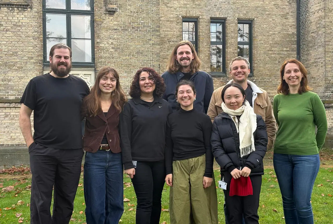
PhD adventures in Copenhagen, Denmark: revealing past recovery processes of tropical forest systems through ancient environmental DNA
12/03/2026
PhD student Chris Bengt visited the University of Copenhagen to carry out very delicate extraction of aeDNA from lake-sediment cores, in the hopes of unlocking the secrets of past volcanic eruptions.
Modern pesticides found in UK rivers could pose risk to aquatic life
17/06/2025
New research shows that modern pesticides used in agriculture and veterinary medicines have been found for the first time in English rivers.
What is the impact of drought on temperate soils?
22/05/2025
A new BGS review pulls together key information on the impact of drought on temperate soils and the further research needed to fully understand it.
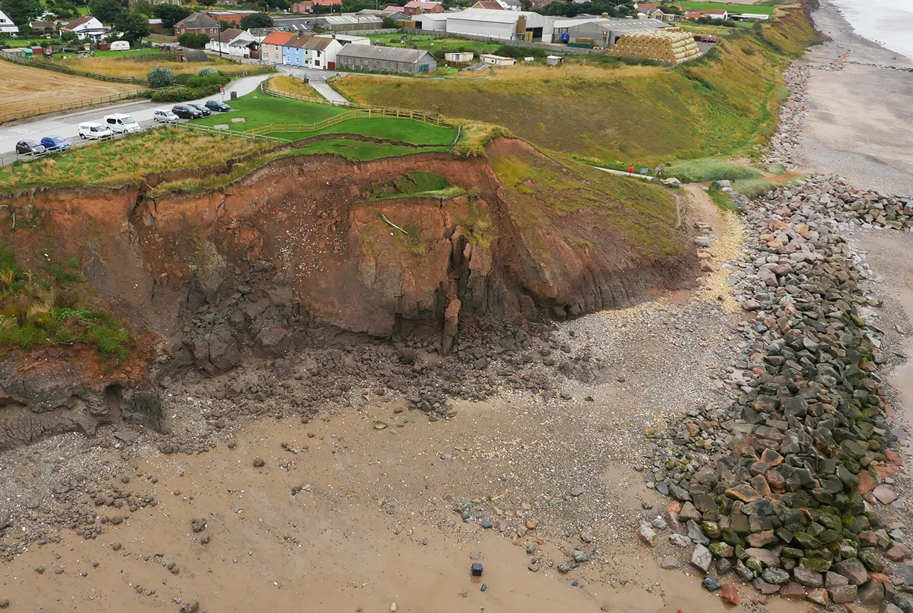
What does the next generation of coastal environmental models look like?
15/04/2025
A new tool is now available that has been designed to help coastal engineers and practitioners better manage the compound risk of coastal erosion and flooding.
Pioneering tool expanding to analyse agricultural pollution and support water-quality interventions
06/02/2025
An online tool that shows which roads are most likely to cause river pollution is being expanded to incorporate methods to assess pollution from agricultural areas.
Dynamics of land-to-lake transfers in the Lake Victoria Basin
09/12/2024
In June 2024, a UK/Kenya research team shared research findings from a collaborative, four-year field and experimental programme within Kenya.
Forty years and counting: new topsoil data provides most extensive snapshot of environmental pollution effects
01/10/2024
Scientists have uncovered clear signs of the impact environmental pollution is having across the country’s soil.
Philippine Hydrological Model
The first national-scale hydrological model of the Philippines.