

Delving deep into mountains for future water security
A BGS-led project is using new water-tracing investigation methods, geophysics and modelling to understand how water moves from mountains to the lowlands, helping to improve water security for billions of people.
16/07/2026 By BGS Press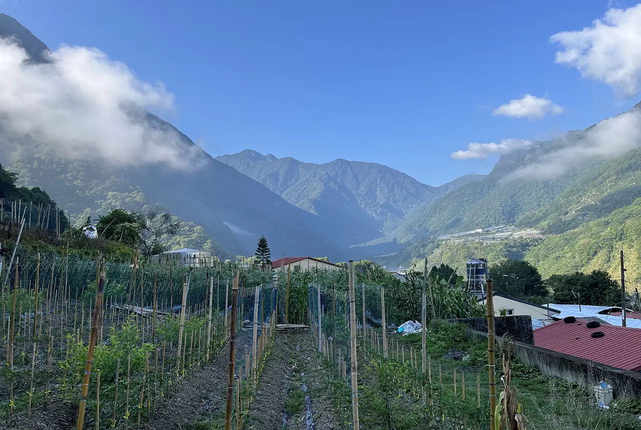

Covering around a quarter of the Earth’s land surface, mountains supply water to billions of people and underpin global water, energy and food security. Mountainous regions receive disproportionately high rainfall, which feeds the rivers flowing to lower-lying areas where water demand is often greatest. Crucially, mountains also regulate this supply, storing water during wetter periods and releasing it during dry spells, which is why they are sometimes referred to as the ‘natural water towers’ of the world.
However, exactly where this water is stored and how it is released remains only partially understood. Much of the existing research has focused on the visible parts of mountain water systems including rivers, lakes, snow and glaciers. While these are undoubtedly important, we could be missing a vast, largely invisible component: the water stored deep within the mountain bedrock.
Emerging research is beginning to challenge the conventional understanding of mountain water systems. Studies using environmental tracers, which are chemical and biological ‘fingerprints’ that reveal where water has travelled, and geophysical imaging techniques that allow scientists to ‘see’ beneath the surface, suggest that significant volumes of water may move through deep mountain groundwater systems. These systems could be more resilient to climate change, potentially sustaining river flows and supporting downstream communities in an increasingly variable climate.
Taiwan’s steep, rainfall-rich mountain landscapes provide an ideal natural setting for studying how water moves through complex hydrogeological systems. A new project, led by BGS in collaboration with the UK Centre for Ecology & Hydrology (UKCEH), New Mexico Tech, the University of Basel and National Cheng Kung University, will investigate how water flows through these systems, focusing on a mountain-fed river basin in central Taiwan.
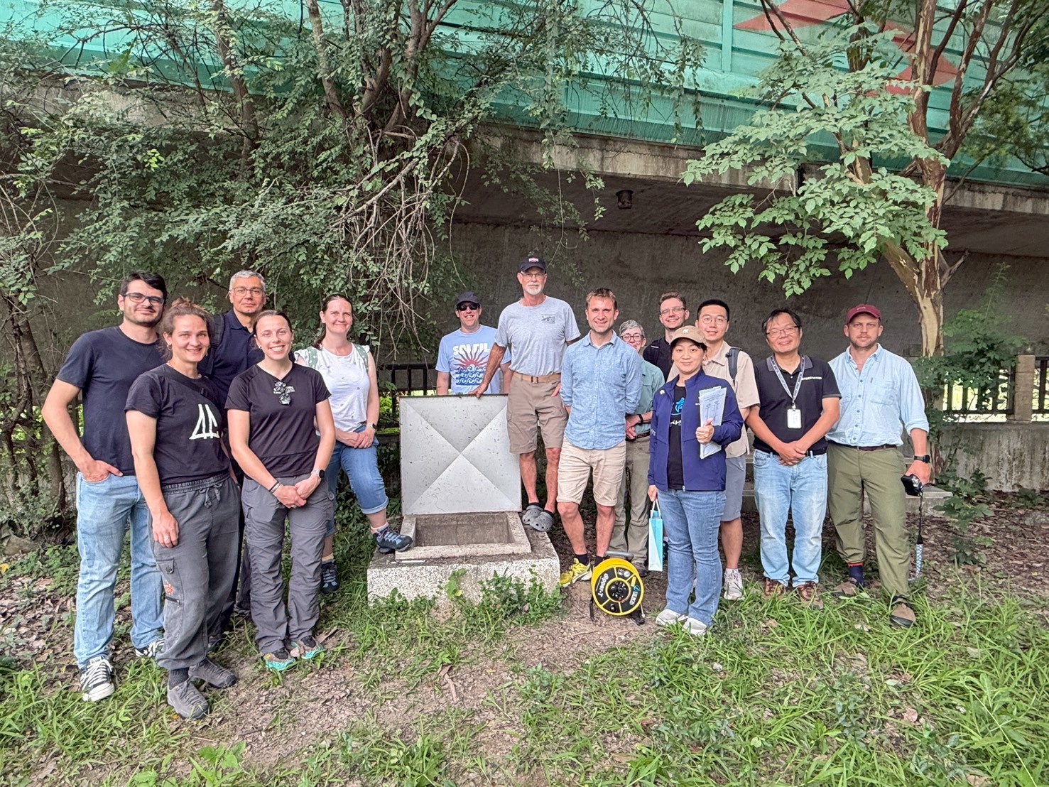
The project team of a recent visit to the study basin in central Taiwan. BGS © UKRI.

By combining environmental tracers with advanced geophysical techniques, we can begin to map how water moves through mountain bedrock in ways that haven’t been possible before. These approaches give us powerful new insight into subsurface processes that are largely invisible, but potentially vital for long-term water resilience.
Prof Mark Person, co-investigator, New Mexico Tech.
The project also benefits from a unique groundwater observation network in the region. By tracking how water travels through the mountain bedrock, the team aims to build a first-of-its-kind, data-informed digital model of mountain groundwater flow.
Mountains are sometimes described as the world’s water towers, but we still don’t fully understand how they store and release water, especially beneath the surface. This project aims to uncover the hidden role of groundwater within mountain systems, which could be critical for sustaining water supplies as climate variability increases.
Dr Jon Mackay, BGS principal investigator
This research has the potential to establish a new paradigm for mountain hydrology by integrating the role of deep groundwater into our understanding of how mountain water systems function. In doing so, it will help develop more robust tools to support water resource management and climate change adaptation strategies in mountain-fed river systems around the world.
Relative topics
Related news

What lies beneath Europe’s sinking ground?
01/09/2026
Land subsidence is becoming increasingly visible across Europe. New research examines how better monitoring, shared data and a deeper understanding of the subsurface can help assess and manage its impacts.
Experiences from our Commonwealth Fellowship at the British Geological Survey
24/08/2026
Scientific fellowships foster professional growth, international collaboration and exposure to world-class research environments. A group of visiting Commonwealth Fellowship researchers share their experience of being hosted at the BGS Inorganic Geochemistry Facility.
Building Europe’s geological future
20/07/2026
BGS scientists are contributing to a continent-wide initiative that is strengthening collaboration across borders to tackle shared subsurface challenges and unlock new opportunities.
Delving deep into mountains for future water security
16/07/2026
A BGS-led project is using new water-tracing investigation methods, geophysics and modelling to understand how water moves from mountains to the lowlands, helping to improve water security for billions of people.
Ukraine and the UK strengthen their commitment to geological cooperation
10/06/2026
A new Memorandum of Understanding reaffirms the UK’s support of Ukraine’s ambitions to develop its critical mineral resources, paving the way for collaboration through capacity-building programmes.
International science consortium to survey the health, economic value and social importance of Lake Victoria
22/05/2026
The project will replicate the 1927 survey to assess changes in the lake’s health, economic value and social importance.
BGS contributes to UN sand and sustainability report
19/05/2026
The new report highlights the impact of poor governance and unsustainable sand mining practices, calling on policymakers to take action.
BGS engineering geologist elected to CCOP
29/04/2026
Marcus Dobbs has been elected as vice-chair of the advisory group for the Coordinating Committee for Geoscience Programmes in East and Southeast Asia.
Strengthening capacity through partnership: a critical minerals perspective
28/04/2026
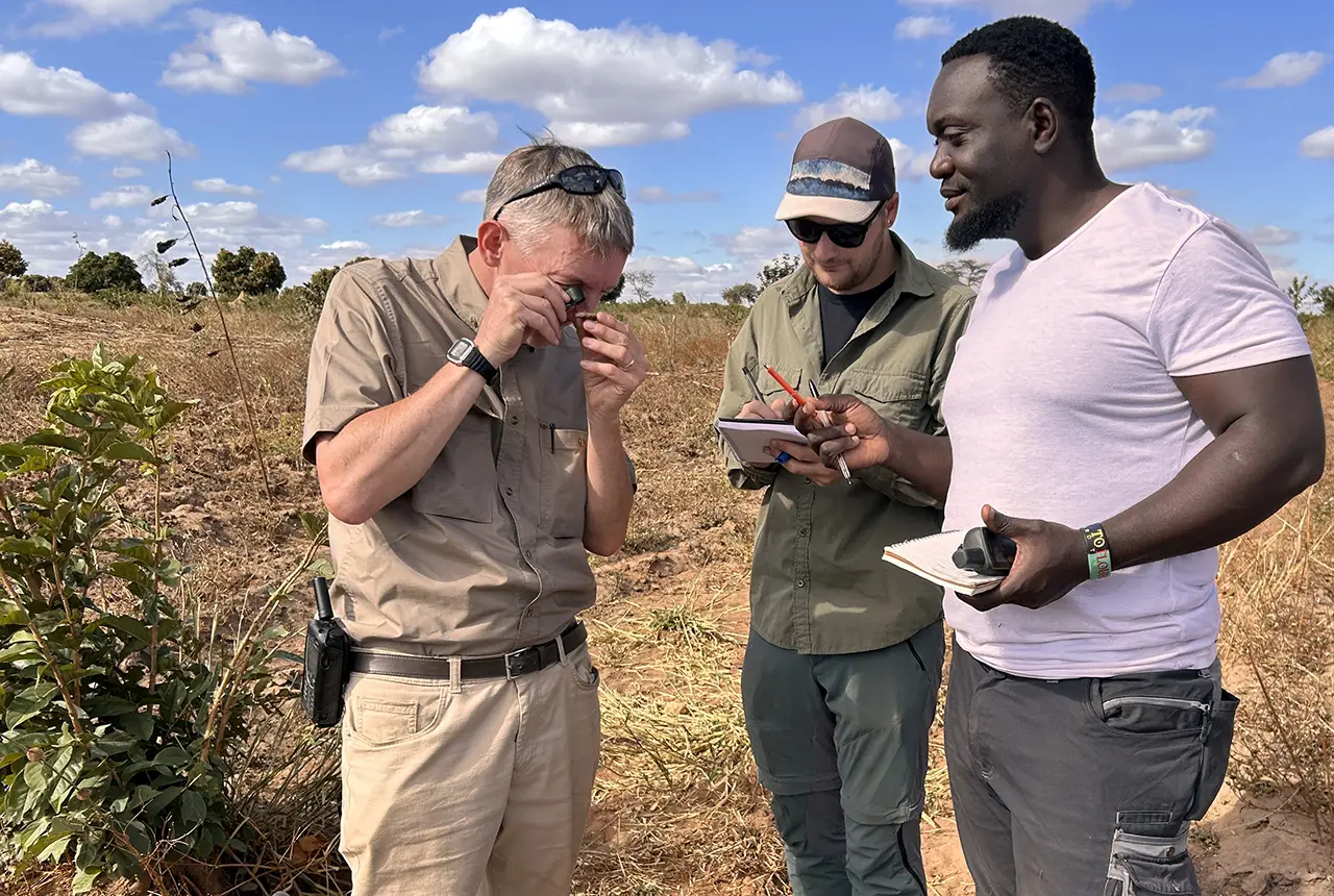
BGS has been working in partnership with the Geological Survey Department of Zambia (GSD) to build national capacity, improve data accessibility and support long-term, sustainable development.
New research could help provide a more reliable water supply for millions in rural Africa
24/03/2026
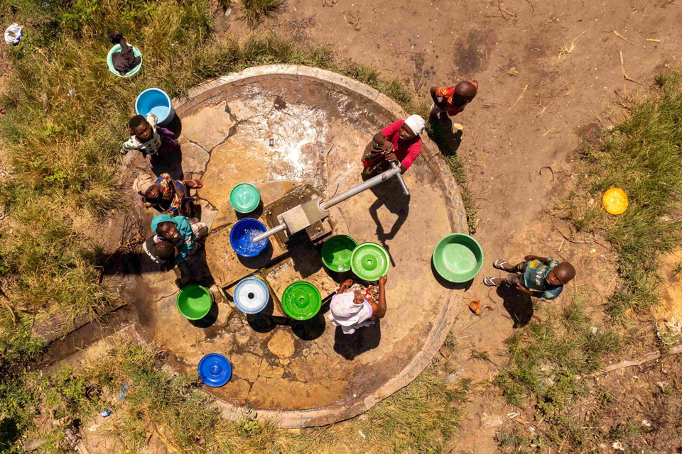
A new BGS-led study has revealed crucial insights into the longstanding challenges affecting the reliability and performance of rural water supply infrastructure in sub-Saharan Africa.
New UK/Chile partnership prioritises sustainable practices around critical raw materials
09/02/2026
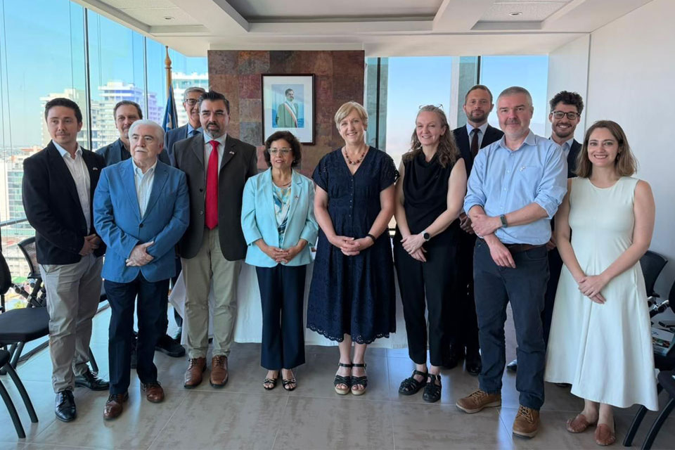
BGS and Chile’s Servicio Nacional de Geología y Minería have signed a bilateral scientific partnership to support research into critical raw materials and sustainable practices.
Extensive freshened water confirmed beneath the ocean floor off the coast of New England for the first time
09/02/2026
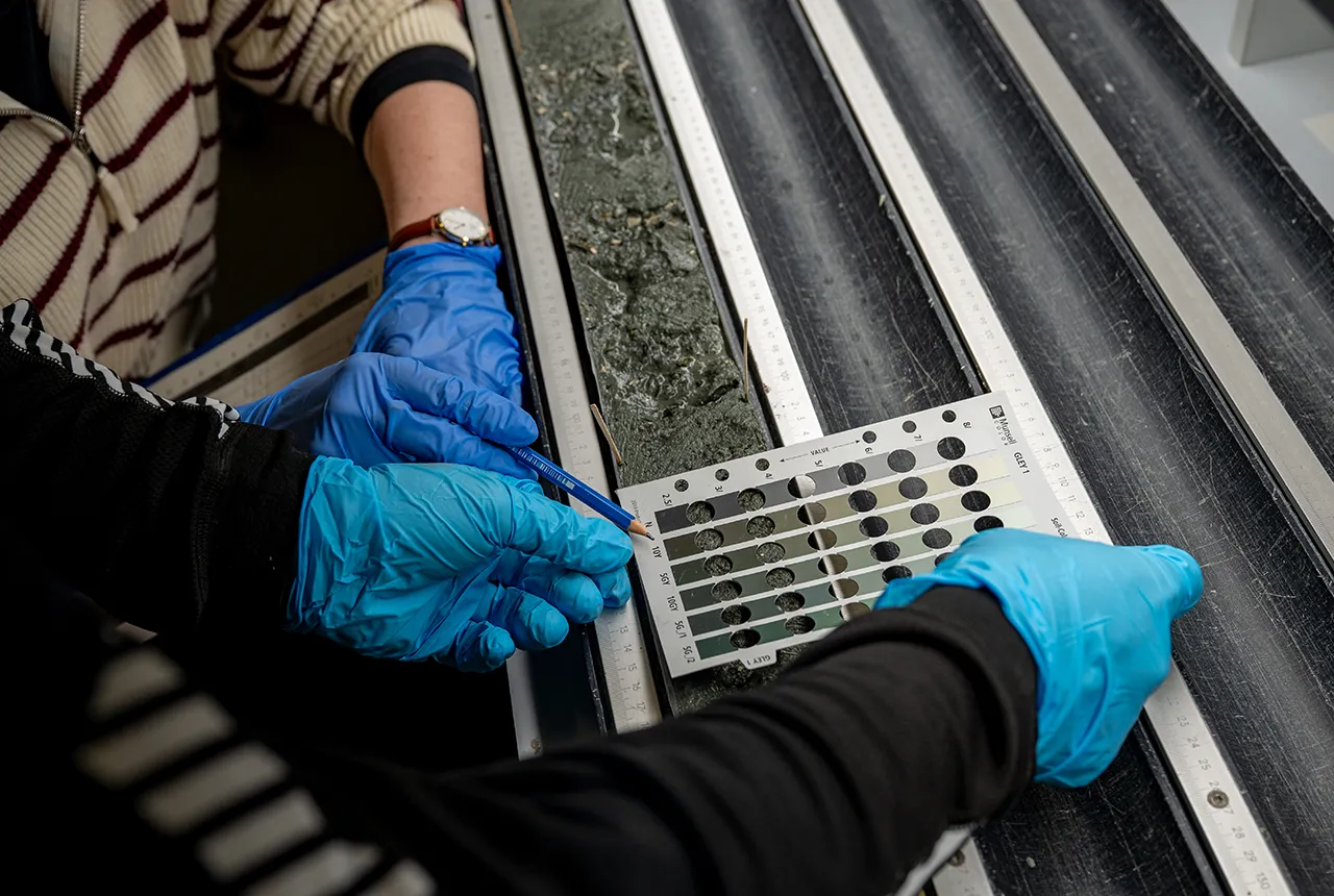
BGS is part of the international team that has discovered the first detailed evidence of long-suspected, hidden, freshwater aquifers.