New seabed geology maps to enable long term conservation around Ascension Island
BGS deliver the first marine geology and habitat maps for one of the world’s largest marine protected areas.
01/04/2025 By BGS Press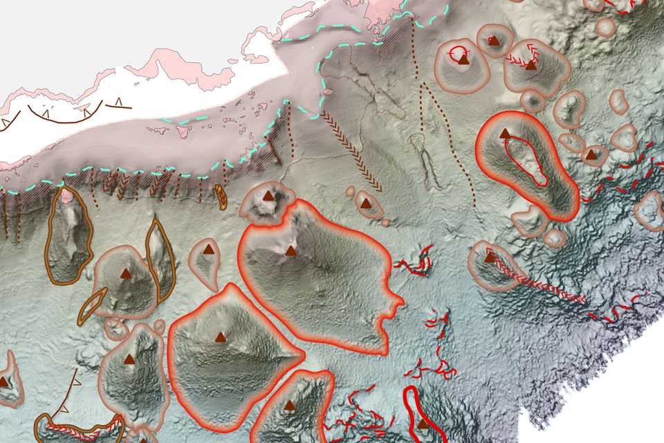
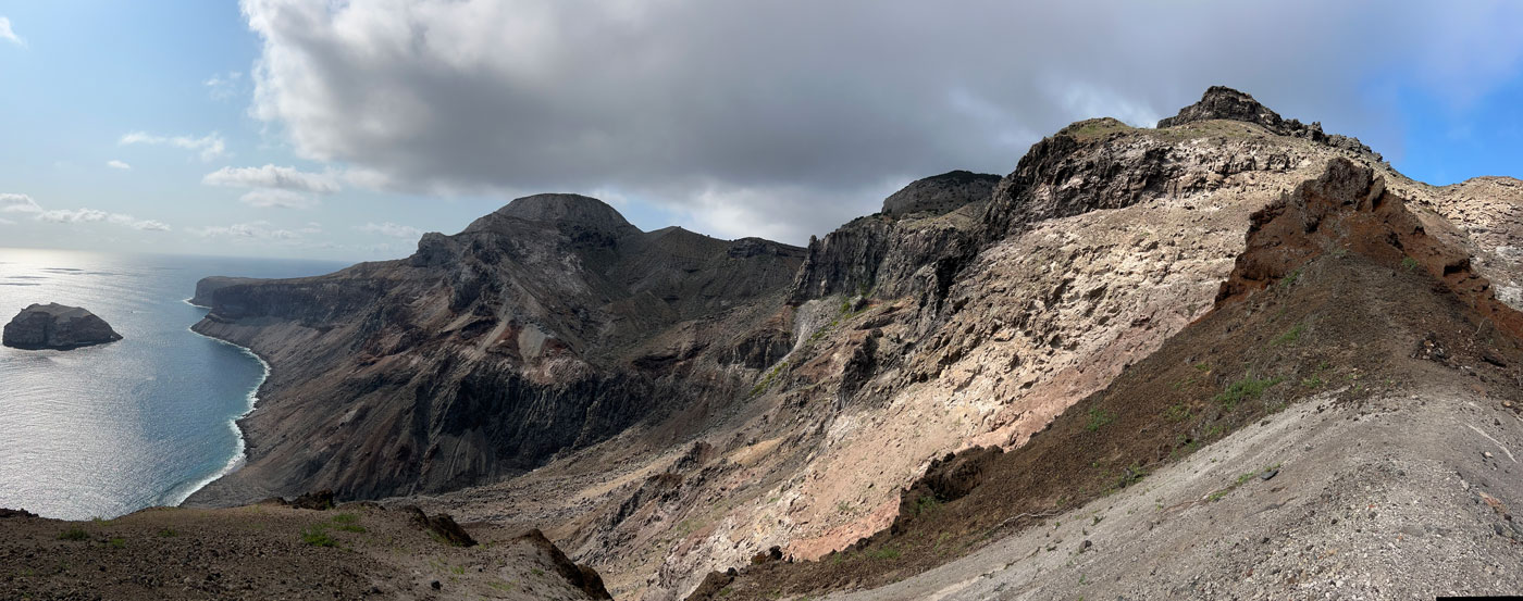
The Ascension Island Marine Protected Area (MPA) is one of the largest areas of protected ocean in the world and safeguards a unique ecosystem in the South Atlantic Ocean. It supports many species that are found nowhere else on earth, a mixture of deep sea and open ocean habitats that remain largely untouched and unexplored, whilst the island itself is home to thousands of nesting turtles and seabirds.
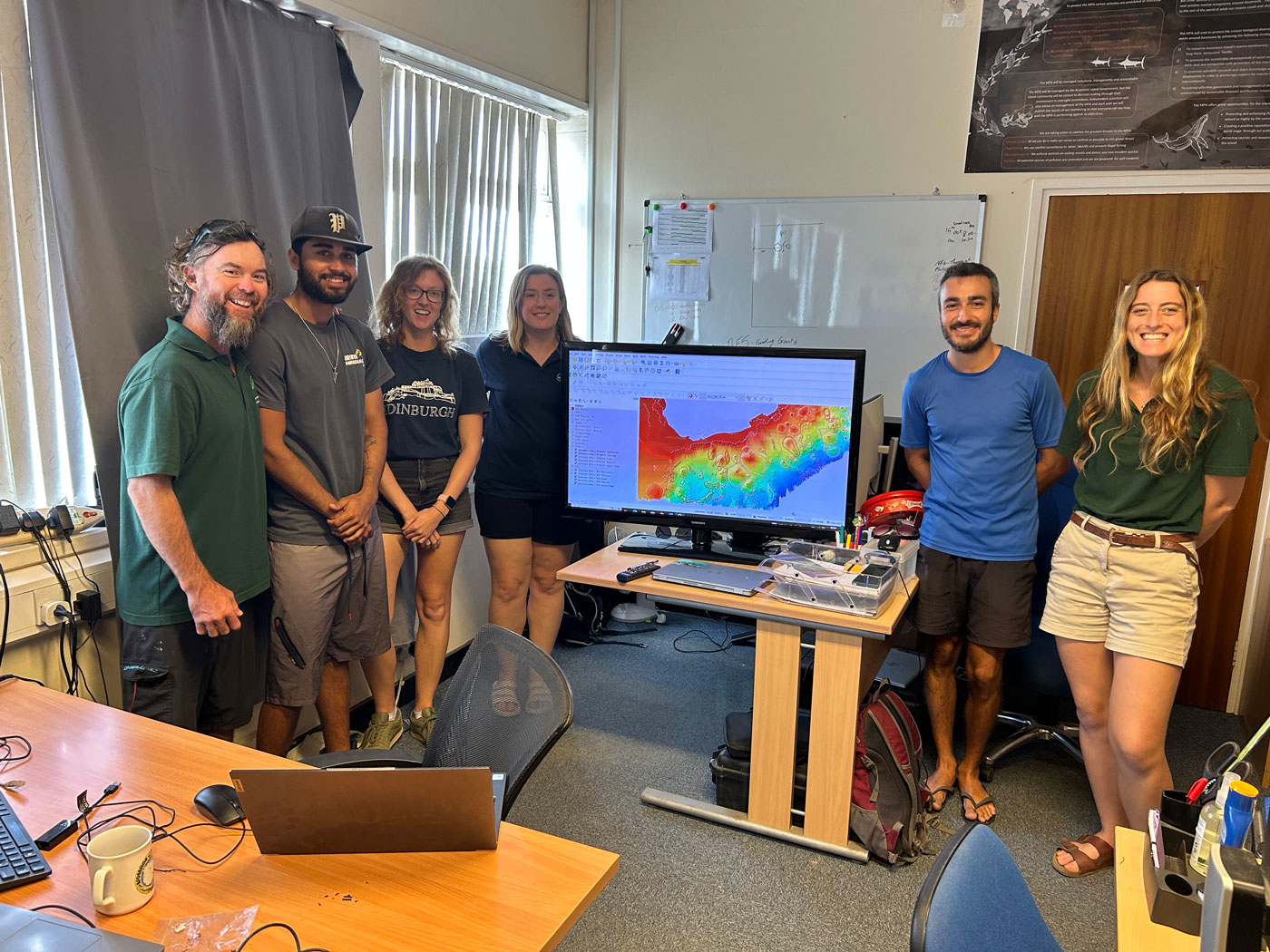
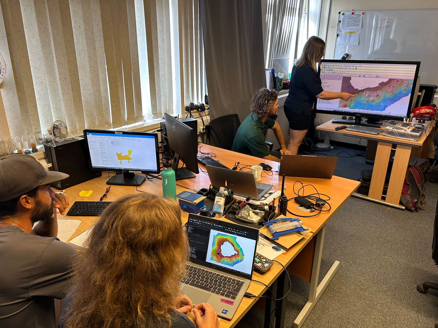
BGS Marine Geoscientist, Catriona MacDonald delivering a lesson in geomorphology to the Ascension Island Government Conservation Team. Source: BGS © UKRI
The British Geological Survey (BGS) recently completed a programme of high-resolution bathymetry surveys and drop-camera sampling within the nearshore areas of the Island. The survey team even managed to collect data where no other survey had ever been undertaken, which in addition to supporting conservation efforts, will also enable safer navigation in future.
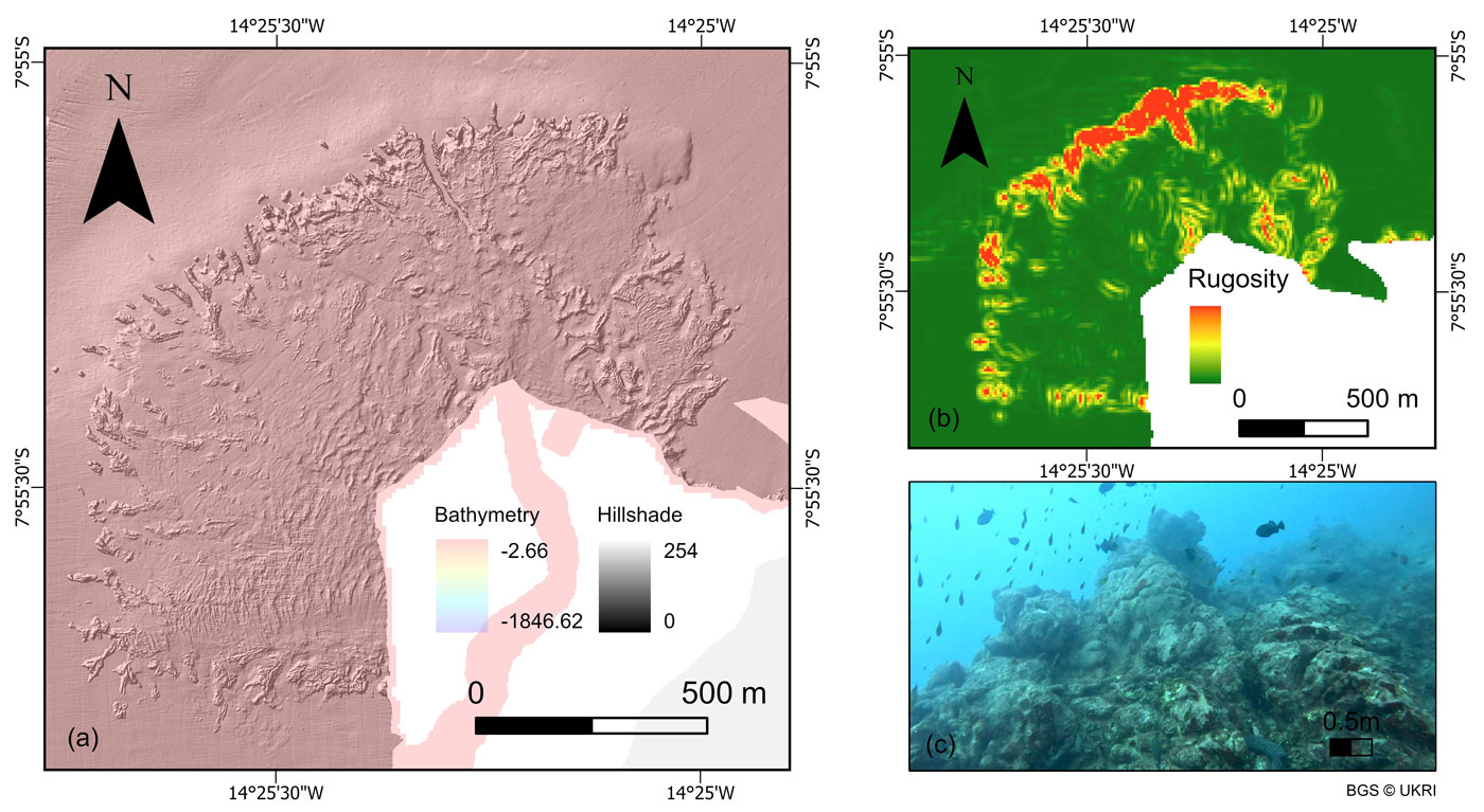
The project was funded by the UK Government and utilised both BGS and Royal Navy bathymetry (depth), backscatter (seabed composition), ground-truth sampling (underwater video footage) and many other derived data layers to create the suite of bespoke geological outputs.
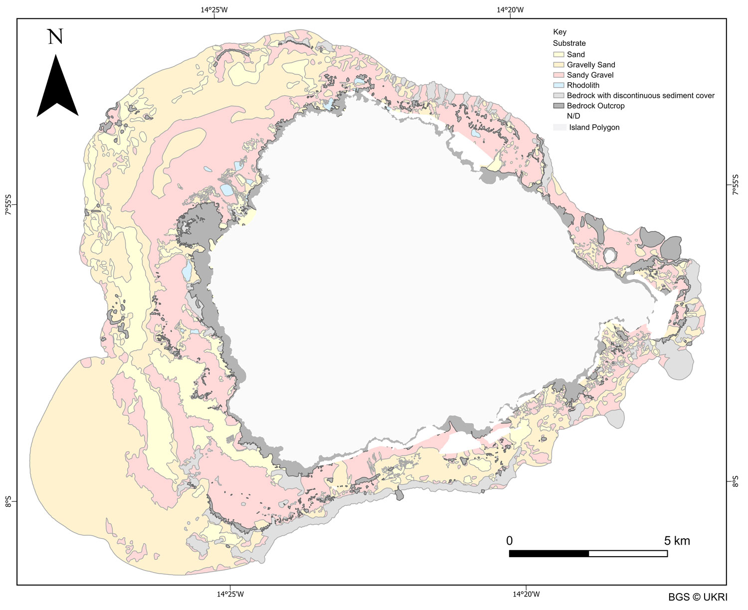
The maps, which include seabed geology (substrate and geomorphology) and habitat, are the first to be created for the Island and determine the character, distribution and extent of the nearshore habitats of the MPA.
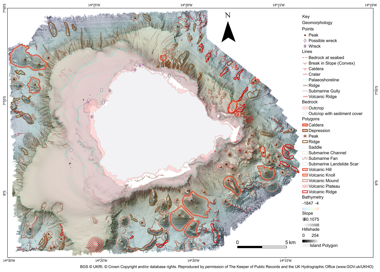
BGS 1:50 000 Geomorphology map of the seabed around Ascension Island. BGS © UKRI. © Crown Copyright and/or database rights. Reproduced by permission of The Keeper of Public Records and the UK Hydrographic Office (www.GOV.uk/UKHO)
The geomorphological map revealed a collection of previously unmapped volcanic, erosion-depositional and coastal features including seamounts, submerged lava flows, ridges, submarine landslides and channels. Whilst the substrate map focused on the nearshore areas, composed of sandy sediments and rocky outcrops which are fundamental habitats for the marine communities. Both maps have enhanced the understanding of seabed processes and geological processes occurring around Ascension Island and enabled the creation of seabed habitat maps which provide unprecedented insight into the diverse ecosystems present in the surrounding waters.
As part of the project, the BGS Marine team provided training to the Ascension Island Government (AIG) in how to effectively use GIS software to view, edit, query and manipulate the data. The intention is for AIG to modify these maps as new data and knowledge becomes available and the management requirements of the protected area changes. Although the region is rich in biodiversity it is one of the habitats most at risk from anthropogenic development and climate change. The maps and data will be a vital resource for the AIG Conservation team as they continue to manage and safeguard the region.
“Collecting data in such a remote and exposed location was a challenge, but an absolute privilege and pleasure. BGS had to adapt existing technology to work with the available survey platform within the limits of Ascension’s wonderfully varied and unpredictable operating environment.”
Rhys Cooper, BGS Project Manager and Senior Surveyor
“The collection of new high-resolution datasets around Ascension Island allowed us to map the seafloor geology in unprecedented detail, uncovering critical geological features and habitats that support a rich diversity of marine life, and marks a significant milestone in our understanding of Ascension Island’s marine environment.”
Catriona Macdonald, BGS Marine Geoscientist
“AIG are excited to have access to such high-quality bathymetry and habitat maps. They will be transformative in our nearshore research and monitoring and allow for much more evidence based conservation management.”
Tiffany Simpson, Director of Conservation and Fisheries, Ascension Island Government
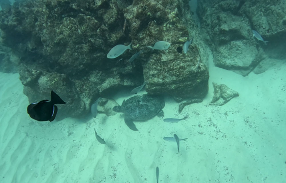
Marine life filmed as part of the video transect work around the coast of Ascension Island. BGS © UKRI
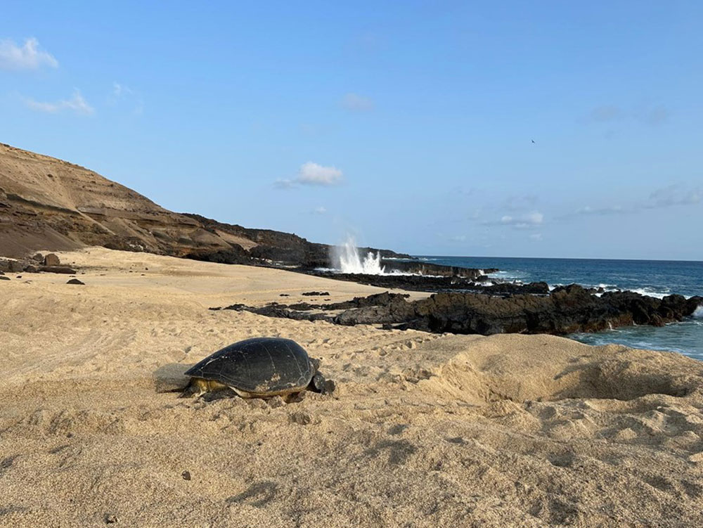
A green turtle (Chelonia mydas) returning to the sea after nesting on North East Beach, Ascension Island. BGS © UKRI
The final maps were delivered by BGS to the Ascension Island Government’s Department of Conservation in February 2025 and will be used by the team to manage the marine environment for future generations.
Further information
Ascension Island Marine Protected Area Website
BGS completes first mapping expedition to Ascension Island
In photos: Marine surveying a remote volcanic island
Report of survey : Ascension Island multibeam & video transects
This project is funded by the UK Government through Darwin Plus.

Relative topics
Related news

Quaternary UK offshore data digitised for the first time
21/01/2026
The offshore wind industry will be boosted by the digitisation of a dataset showing the Quaternary geology at the seabed and the UK’s shallow subsurface.

Suite of ten new soil reference materials released
02/01/2026
BGS has a longstanding track record of producing high-quality reference materials and has released ten new soil reference materials.

Perth and Kinross tops the UK’s earthquake activity charts for 2025
29/12/2025
Seismologists at BGS have published data on the number of seismic events over the past 12 months with over 300 earthquakes recorded.

BGS awarded funding to support Malaysia’s climate resilience plan
17/12/2025
The project, funded by the Foreign, Commonwealth & Development Office, will focus on minimising economic and social impacts from rainfall-induced landslides.

New geological maps of the Yorkshire Wolds to better inform groundwater management and policy decisions
17/12/2025
The new mapping provides crucial data on localised geological issues that may assist in protecting water supplies.
‘Three norths’ set to leave England and not return for hundreds of years
12/12/2025
The historic alignment of true, magnetic, and grid north is set to leave England, three years after they combined in the country for the first time since records began.

BGS agrees to establish collaboration framework with Ukrainian government
11/12/2025
The partnership will focus on joint research and data exchange opportunities with Ukrainian colleagues.
Making research matter: BGS joins leading research organisations in new national initiative
10/12/2025
A new alliance of 35 organisations has been formed that is dedicated to advancing science for the benefit of people, communities, the economy and national priorities.

New 3D model to help mitigate groundwater flooding
08/12/2025
BGS has released a 3D geological model of Gateshead to enhance understanding of groundwater and improve the response to flooding.
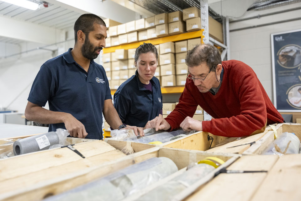
Scientists gain access to ‘once in a lifetime’ core from Great Glen Fault
01/12/2025
The geological core provides a cross-section through the UK’s largest fault zone, offering a rare insight into the formation of the Scottish Highlands.

New research shows artificial intelligence earthquake tools forecast aftershock risk in seconds
25/11/2025
Researchers from BGS and the universities of Edinburgh and Padua created the forecasting tools, which were trained on real earthquakes around the world.

BGS welcomes publication of the UK Critical Minerals Strategy
23/11/2025
A clear strategic vision for the UK is crucial to secure the country’s long-term critical mineral supply chains and drive forward the Government’s economic growth agenda.


