As a world-leading geoscience organisation, we provide independent and authoritative advice to the UK Government and the administrations in Scotland, Wales and Northern Ireland. Our geoscience data, information, knowledge and expertise support evidence-based policy development and decision making across the UK public sector.

We advise and partner with national regulators and statutory bodies, and interact with local authorities across the UK. BGS © UKRI.
If you are interested in our public role, please visit the Government and policy page.
We provide technical advice to all areas of Government and the public sector on geoscience and its impact on Government and society. With a wealth of expertise across a broad range of geological disciplines, we can arrange this on a project-by-project basis or set up longer-term provision of advice whereby you can call on the BGS as and when you need us.
We also work in long-term partnerships and in responsive arrangements across the public sector in response to commissions to meet the specific needs of the individual organisations, including strategic overseas projects.
Recent projects
- National geological screening
- Environment Agency
- Network Rail landslides work
- High Speed 2 (HS2) rail line
- Mineral planning
- Contaminated land
Need more information?
Find out more about our work
Our data and services
The BGS offers a range of services and information for businesses, home-owners, policymakers and the general public.
Related news
Making research matter: BGS joins leading research organisations in new national initiative
10/12/2025
A new alliance of 35 organisations has been formed that is dedicated to advancing science for the benefit of people, communities, the economy and national priorities.

New research published on brownfield land
27/08/2025
National Brownfield Forum research on the interactions of policies affecting the planning and development of brownfield land has been published.
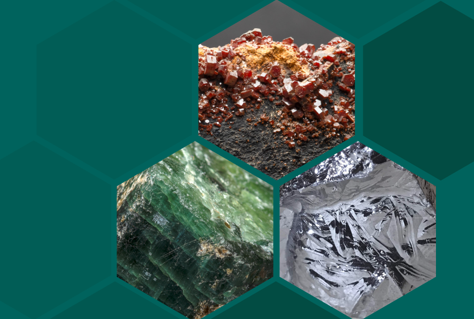
UK 2024 Criticality Assessment published
28/11/2024
The latest UK Criticality Assessment, produced by the UK Critical Minerals Intelligence Centre, shows that growing diversification brings an increasing vulnerability in terms of disruption to supply.
New community launched to support effective management of the subsurface
03/10/2024
The initiative aims to increase knowledge exchange on subsurface issues between interested parties involved in subsurface policy and planning.

BGS scientist announced as Scottish Government policy fellow
06/02/2024
BGS geohazard scientist Roxana Ciurean has been named amongst new policy fellows for the Scottish Government.
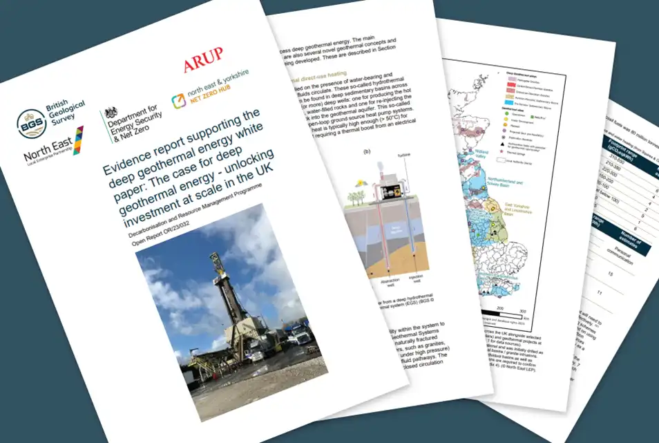
Evidence report on deep geothermal energy opportunities in the UK released
16/11/2023
BGS has published a detailed evidence report that underpins a deep geothermal White Paper.

Evolving policies in the face of climate change: BGS data can help
25/08/2023
Climate change is increasingly recognised as a major challenge for organisations, with the need for adaptation driving a wave of policy updates and reforms across multiple sectors. BGS data holdings are relevant to many of these changes and the following examples outline how these data packages can be applied.

Dr Corinna Abesser appointed BGS Policy Director
08/03/2023
Dr Abesser will be supporting BGS staff in the translation of their science outputs to inform policy and regulation as well as advising senior management on policy-related issues.
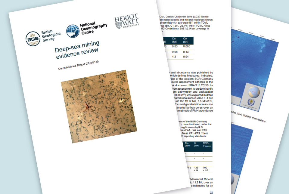
Deep-sea mining evidence review published
31/10/2022
The deep-sea mining independent evidence review report was commissioned by the UK Government to inform its policy in relation to deep-sea mining.

Evidence Week 2021
15/12/2021
Representatives from BGS took part in Evidence Week 2021 to talk to parliamentarians about unlocking the potential of geothermal energy in the UK.
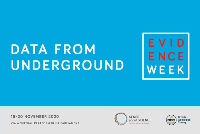
Evidence Week 2020
14/12/2020
The UK Geoenergy Observatories team took part in Evidence Week 2020 to talk to parliamentarians about the essential role of geoenergy in the energy mix to meet net zero.

BGS responds to Government’s ambitious Ten Point Plan for net zero transition
18/11/2020
BGS has welcomed the Government’s Ten Point Plan for a Green Industrial Revolution which highlights the importance of geology and the ongoing need to support essential geoscientific research that will underpin the UK’s long term energy transition.