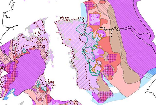
A number of our datasets are available for you to download onto your system for your own use. This will enable you to work offline to develop your own systems and methodologies using BGS data. The datasets available to download include many of BGS’s baseline products including geological, hydrogeological, geophysical and chemical data.
Many of these datasets are also being made available for download as INSPIRE pre-defined download services (atom feeds).
Terms of use
The datasets listed here are all delivered under the Open Government Licence, subject to the following acknowledgement accompanying the reproduced BGS materials: “Contains British Geological Survey materials © UKRI [year]”.
You may also be interested in:
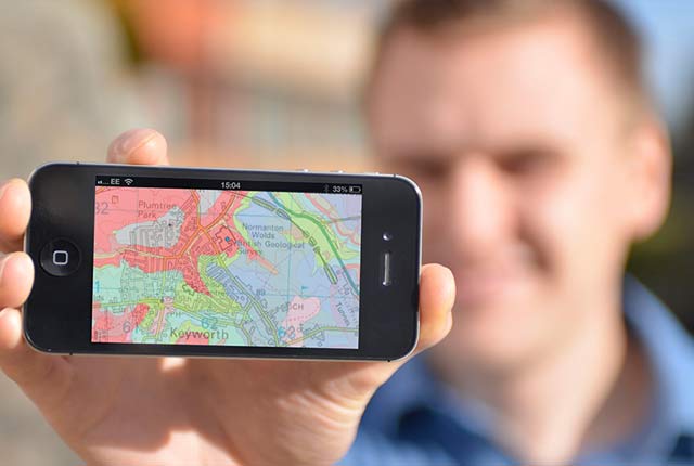
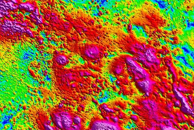
OpenGeoscience
Accessing maps and downloading data, scans, photos and other information via BGS’s free OpenGeoscience service.
Digital geoscience
The BGS is a data-rich organisation. Our data science and data infrastructure are fundamental to our future research and underpin our strategic challenges.