Great Britain land gravity survey
- Approximately one observation per 1.6 km2
- Onshore Great Britain
- Open
The Great Britain land gravity survey dataset comprises over 165 000 gravity observations across onshore Great Britain.
Key information
- Scale:
- Approximately one observation per 1.6 km2
- Coverage:
- Onshore Great Britain
- Availability:
- Open
- Price:
Free for commercial, research and public use under the Open Government Licence. Please acknowledge the material
- Format:
- ASCII text records
- Uses:
- Regional-level to national-level use
- Themes:
- Geophysics, Geoscience information
This dataset comprises over 165 000 gravity observations on onshore Great Britain. Most of the surveys were carried out by the BGS but the dataset includes data originally acquired by other organisations. This was subsequently given to the BGS and integrated into a consistent dataset that became a national archive.
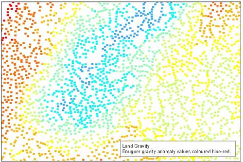

Great Britain land gravity survey points sample. BGS © UKRI.
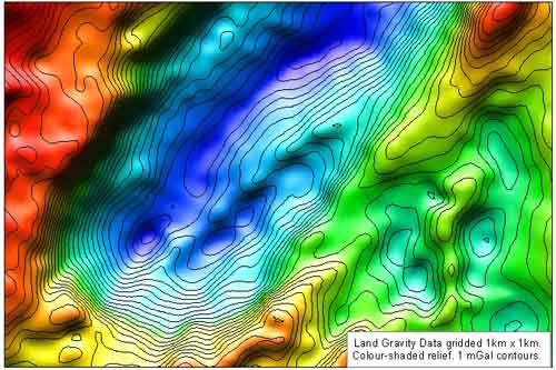
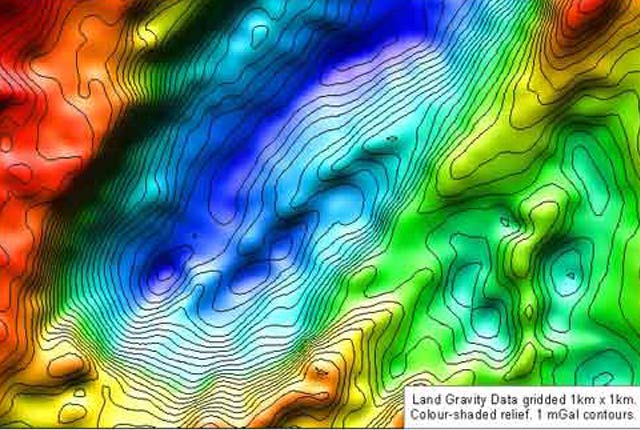
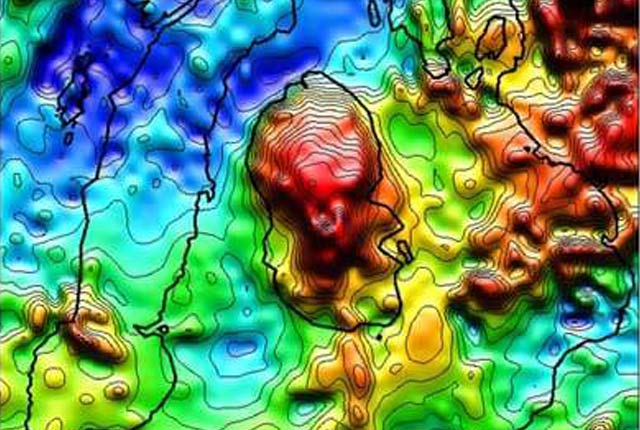
Great Britain land gravity survey coloured shaded/contoured sample. BGS © UKRI – Contains OS data © Crown copyright 2020.
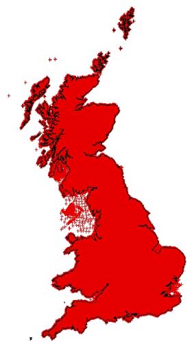
Great Britain land gravity surveycoverage. BGS © UKRI – Contains OS data © Crown copyright 2020.
You may also be interested in

Great Britain aeromagnetic survey
Regional aeromagnetic data for Great Britain acquired between 1955 and 1965.