The BGS has a wide range of datasets and wants to increase access to these by publishing as many as possible under OpenGeoscience. OpenGeoscience is a free service where you can view maps and download data, scans, photos and other information. The services available under OpenGeoscience include:
- the BGS Geology Viewer
- access to over a million borehole scans
- the GeoScenic geological photographic archive, where you can search for and download photos
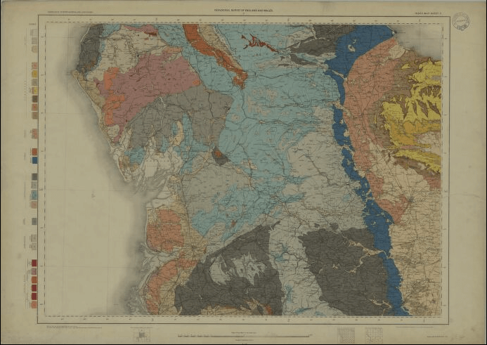
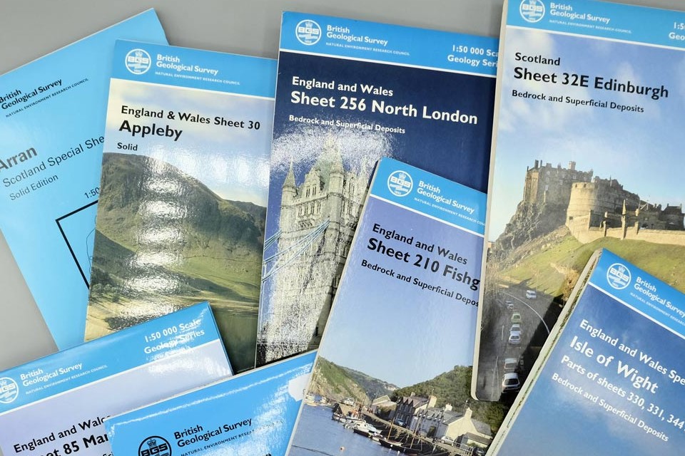
- published paper maps and sections from 1832 to 2014 and printed publications from 1835 to the present
- the BGS ArcGIS Online Open Data Hub
Terms of use
To encourage the use and re-use of this data we have, wherever possible, made the data within OpenGeoscience available under the Open Government Licence, subject to the following acknowledgement accompanying the reproduced BGS materials: ‘Contains British Geological Survey materials © UKRI [year]’.
The terms of use for every product under OpenGeoscience are displayed clearly at the top of every page.
Browse our free data
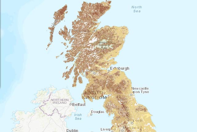
Map viewers
Data published through map viewers allowing you to reveal more about the ground beneath your feet.
Photographs and images
Open access to a number of our photo collections, including petrological thin sections.

Scanned records
Open access to a number of our digital scan collections, including borehole log scans and published maps.
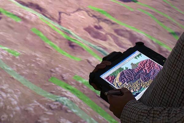

Web services and APIs
More of our information is accessible through web services and linked data to encourage developers to use and innovate it within their own systems
Data collections
Scans, photos and publications that are stored and managed by the BGS
Publications
Free-to-view publications produced by the BGS and other bodies whose responsibility was later taken over by the survey.
Map data downloads
A number of our datasets are available for you to download onto your system for your own use.
Need more information?
Related news
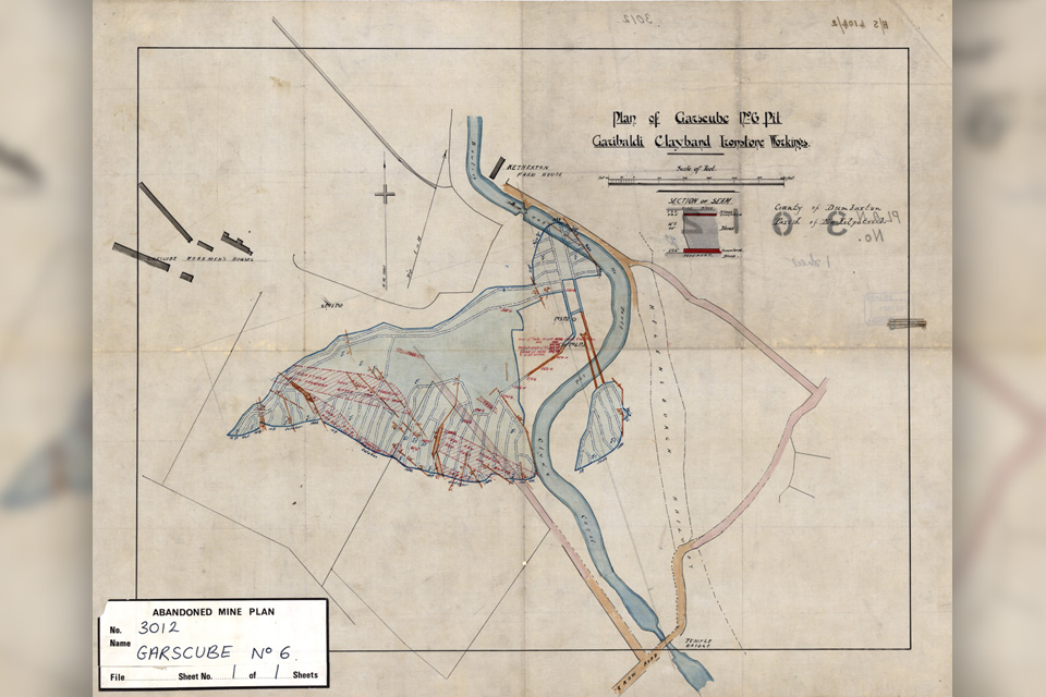
Release of over 500 Scottish abandoned-mine plans
24/06/2025
The historical plans cover non-coal mines that were abandoned pre-1980 and are available through BGS’s plans viewer.
BGS makes significant advance in mineral data accessibility
10/12/2024
A new public application programming interface for the BGS World Mineral Statistics Database will revolutionise how users interact with critical data.
National Hydrocarbons Data Archive files now accessible through the National Data Repository
15/07/2024
Offshore well and survey information held within BGS’s archive have now been transferred to the North Sea Transition Authority’s National Data Repository to enable greater access.
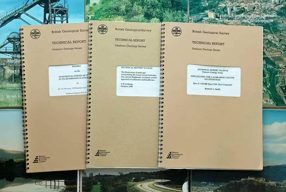
BGS’s National Geoscience Data Centre releases over 8000 technical reports
05/06/2024
The technical reports, covering the full spectrum of BGS activities and subjects, were produced between 1950 and 2000.
Mineral investigation reports released online
07/07/2023
Reports from over 260 mineral exploration projects are now freely available on BGS’s GeoIndex.
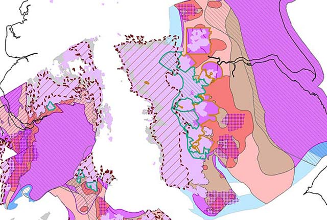
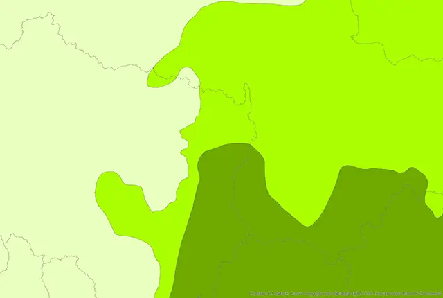
Updated biosphere map for the UK released
07/07/2023
The updated biosphere map for the UK will allow users to identify sulphur isotope variations.
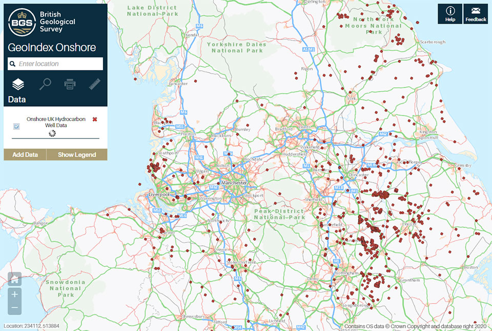
A new open dataset to benefit onshore geoscience research
15/06/2023
Data from deep onshore hydrocarbon wells is being released on an open access basis to help meet the UK’s net zero targets.
BGS releases 10K maps through updated maps portal
16/05/2023
BGS releases an updated maps portal, which allows users to view all publicly available maps, and includes 10 000 and 1:10 560 scale maps for the first time.
BGS GeoScour Open
The BGS GeoScour Open datasets provide a generalised overview of the natural characteristics and properties of catchment and riverine environments for the assessment of river scour in Great Britain.
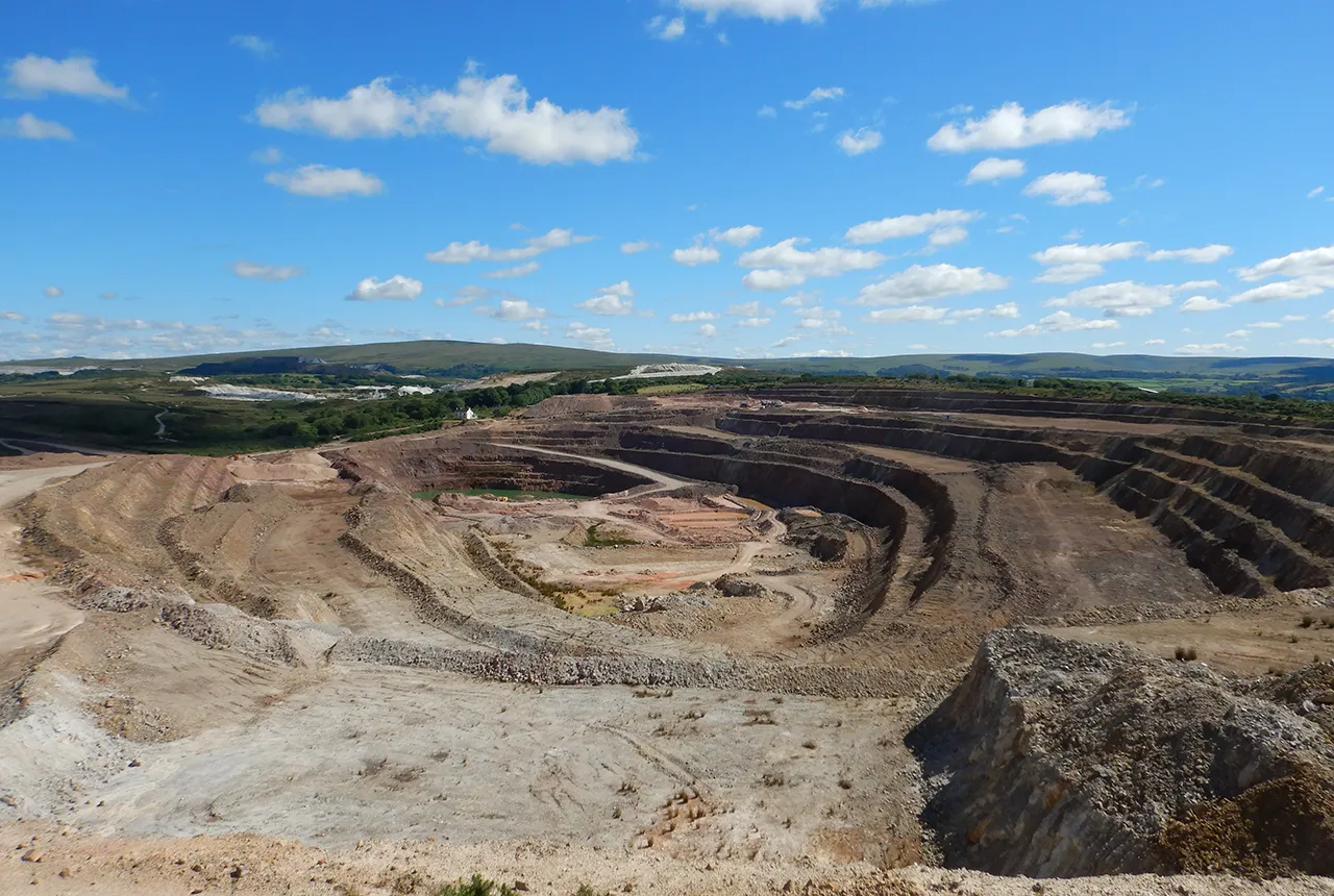
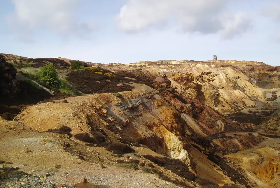
Mining hazard data (not including coal) from BGS
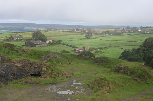
17/05/2022
Great Britain has over 250 000 documented mining sites and the underground voids resulting from past mining activity pose a possible hazard. Knowledge of the distribution of former mining areas will help us to plan for future development and ongoing maintenance.
GeoCoast Open
GeoCoast Open provides a range of historic images and diagrams extracted from our archives, memoirs and other publications, which can provide a reference for coastal change.
Accessing open source BGS software through GitHub
15/12/2021
BGS is increasingly utilising GitHub to make its software available as open source and encourage collaboration with partners and the wider community.