Relative topics
15 results for "subsidence"
GeoClimate UKCP18 Open
This product has now been superseded by the GeoClimate Shrink-swell dataset.

BGS GeoSure
The BGS GeoSure datasets identify areas of potential hazard and, therefore, potential natural ground movement, in Great Britain.
GeoClimate UKCP09 Open
This product has now been superseded by the GeoClimate Shrink-swell dataset.
BGS GeoSure: shrink–swell subsurface
This is a single data layer that identifies areas of potential shrink–swell hazard that are underneath another solid formation and therefore hidden from the surface.
BGS GeoSure: shrink–swell 3D for London and Thames Valley
The shrink–swell 3D data is a regional hazard susceptibility map that identifies areas of potential shrink–swell hazard in 3D at intervals down to 20 m in the London and Thames Valley area.
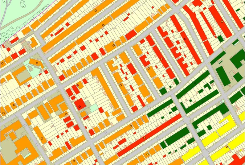
Property subsidence assessment
The BGS property subsidence assessment dataset uses a combination of best available geology, tree location and property information to provide property- and postcode-specific information on ground movement across England and Wales.
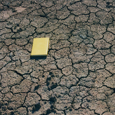
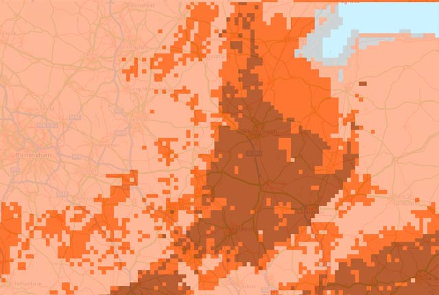
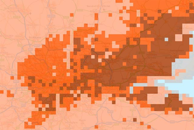
BGS GeoSure: shrink–swell
Many soils contain clay minerals that absorb water when wet (making them swell), and lose water as they dry (making them shrink). Many of us see this in our gardens when the ground becomes cracked during the summer, yet becomes 'heavy' in the winter.