Relative topics
13 results for "quaternary geology"

PhD adventures in Copenhagen, Denmark: revealing past recovery processes of tropical forest systems through ancient environmental DNA
PhD student Chris Bengt visited the University of Copenhagen to carry out very delicate extraction of aeDNA from lake-sediment cores, in the hopes of unlocking the secrets of past volcanic eruptions.

Quaternary UK offshore data digitised for the first time
The offshore wind industry will be boosted by the digitisation of a dataset showing the Quaternary geology at the seabed and the UK’s shallow subsurface.

How the geology on our doorstep can help inform offshore infrastructure design
BGS is part of a new collaboration using onshore field work to contextualise offshore data and update baseline geological models which can inform the sustainable use of marine resources.

New seabed sediment maps reveal what lies beneath the waves
Marine ecosystem science and offshore infrastructure will be boosted by a new dataset showing sediment composition across the UK continental shelf.
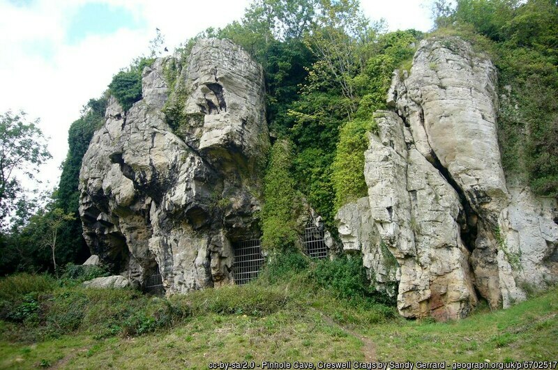
Creswell Crags Museum collections offer insight into the past and future of wolves
Bones found at the site are helping scientists to understand the diet of wolves and how they differ over time.
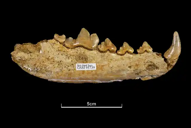
Hungry like a wolf: new insights from old bones housed in the BGS museum collections
BGS scientists are studying the diets of ancient British wolves and how they adapted to changing environments.
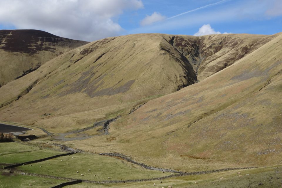
Moving stones: faults, slopes and sediments
Fractured rock along faults affects sediment movement on slopes with implications for the design of infrastructure.
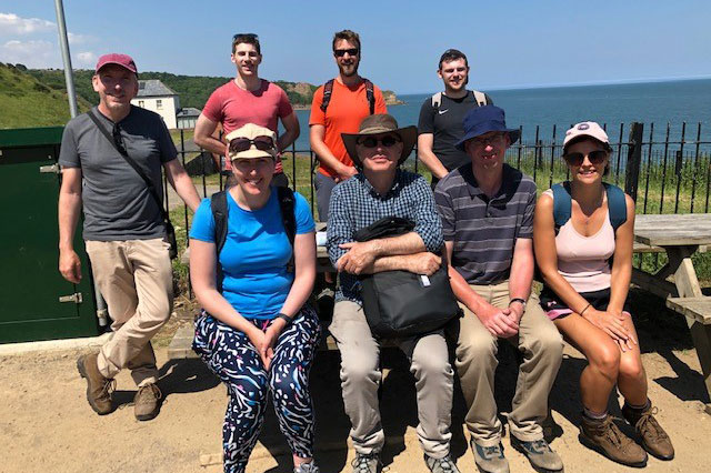
Five places in Yorkshire to assess key geological hazards
A field trip to Yorkshire has helped our data products team improve their output.