Relative topics
64 results for "maps and models"
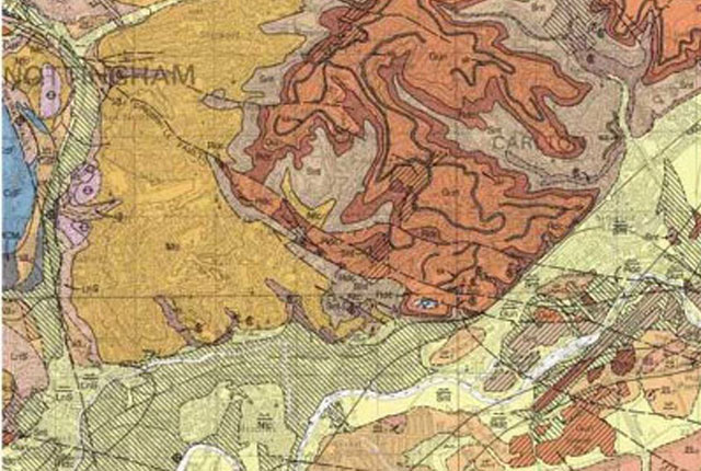
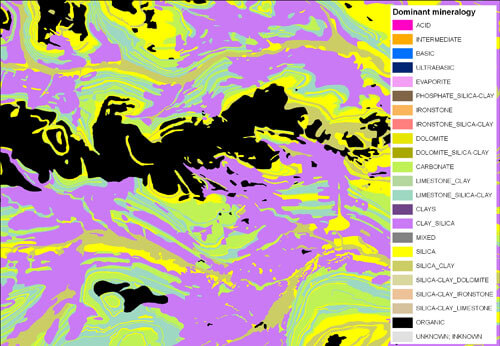
BGS Geology
The BGS Geology datasets are digital geological maps of Great Britain based on the different series of published BGS geological maps.
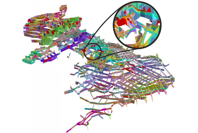
UK3D
A national-scale network of intersecting cross-sections providing a unique visualisation of the complex rocks and structures that make up the UK landmass.
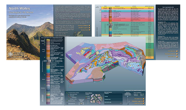
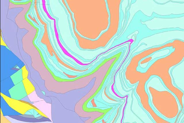
BGS LithoFrame
Data outputs from 3D geological framework models are available at three different scales for parts of the onshore area of Great Britain.
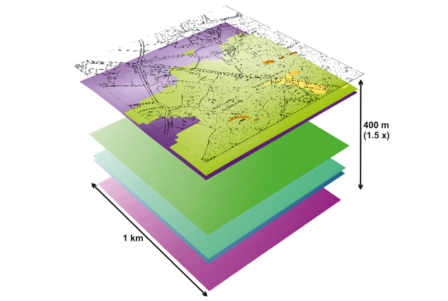
Soil Parent Material Model
The Soil Parent Material Model details the distribution of properties of the weathered and unweathered soil parent materials of Great Britain.
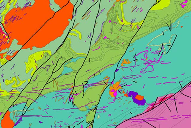
BGS Geology 50K
This generalised digital geological data is based on BGS’s 1:50 000 and 1:63 360-scale maps. Covering almost all of Great Britain, it provides a detailed local to regional description of geology and underpins many of our national map services and products. Lithostratigraphic nomenclature is updated to current usage.
BGS Geology 10K
Our most detailed dataset is provided at 1:10 000 and 1:25 000 scale. This digital geological data is based on BGS’s highest-resolution survey mapping. Many urban centres and transport routes are covered by this dataset. Lithostratigraphic nomenclature is updated to current usage.
BGS Geology 250K
This generalised digital geological data is based on our 1:250 000-scale, bedrock-only maps. Data and lithostratigraphic re-classifications are derived from maps published between 1977 and 1993.