Relative topics
76 results for "geohazards"

Electromagnetic geophysics in Japan: a conference experience
Juliane Huebert took in the fascinating sights of Beppu, Japan, while at a geophysics conference that uses electromagnetic fields to look deep into the Earth and beyond.
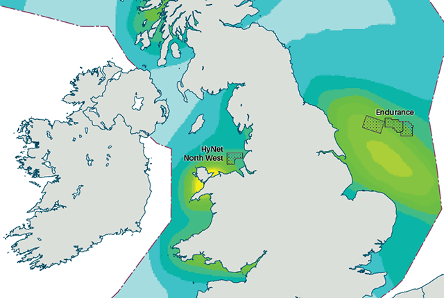
New hazard maps set to help safeguard UK offshore energy industry
Essential geological model detailing seismic hazard published as the pursuit of new renewable energy infrastructure intensifies.

New appointments to BGS Science Advisory Committee
The appointments mark the latest step in the ongoing delivery of BGS’s essential geological expertise.
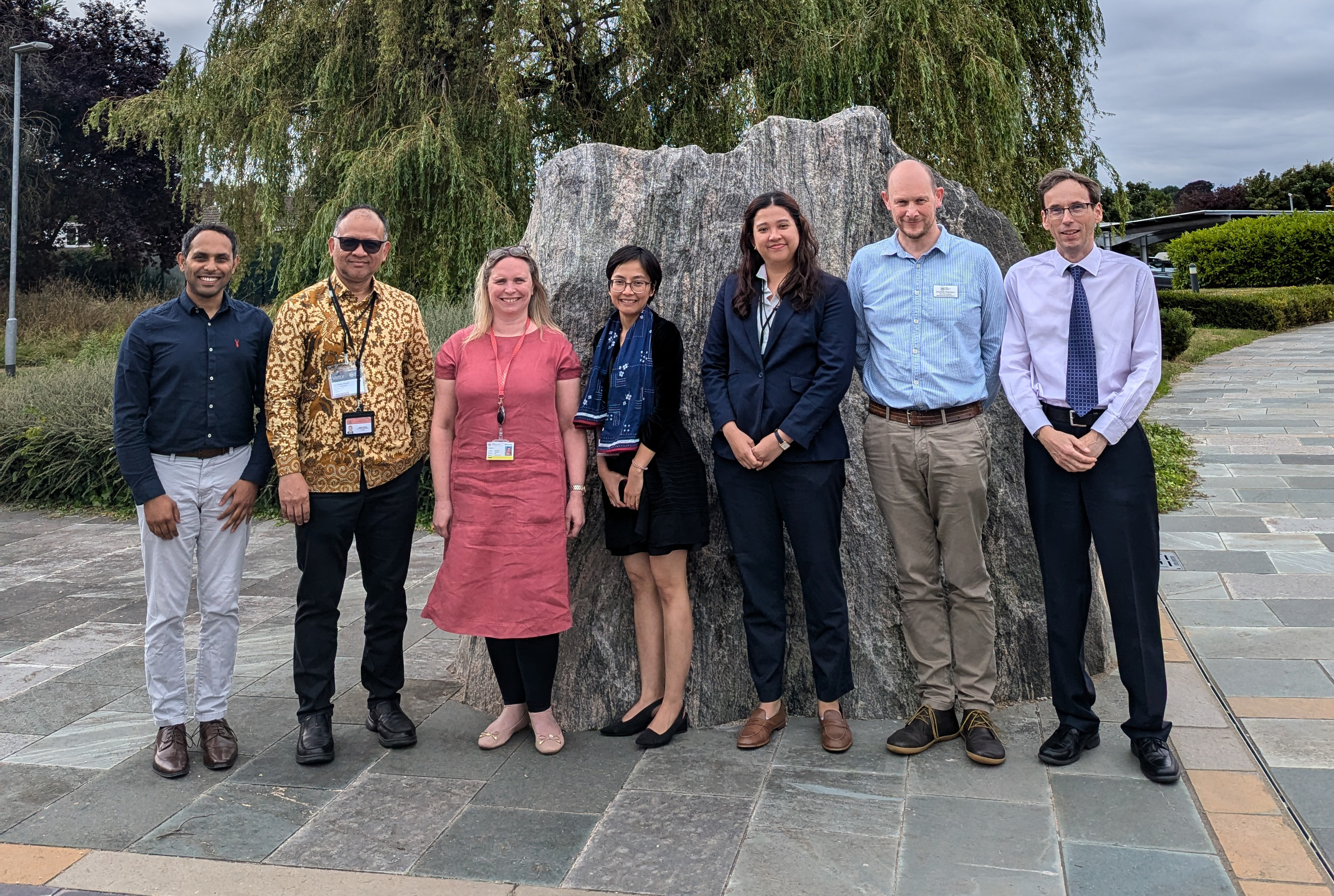
Visit by Indonesian Embassy representatives to BGS
Strengthening BGS/Indonesia scientific research partnerships to address the complex challenges Indonesia faces from natural hazards and maximising opportunities from mineral resources and geothermal energy.
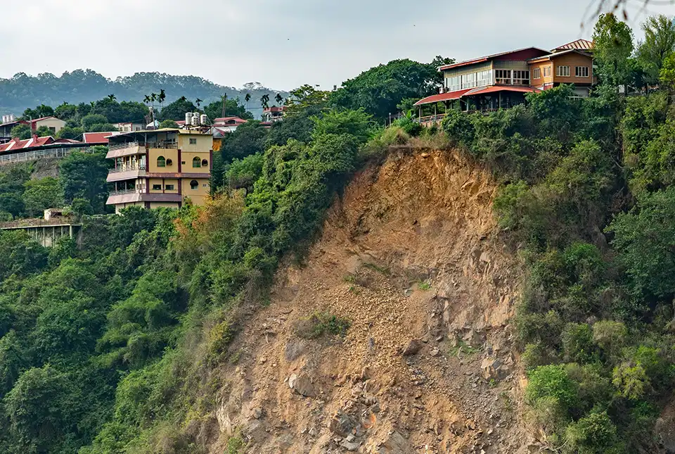
Studying multi-hazards from space
A new European Space Agency-funded project will study the effect earthquakes have on occurrences of other natural hazards in the long-term.
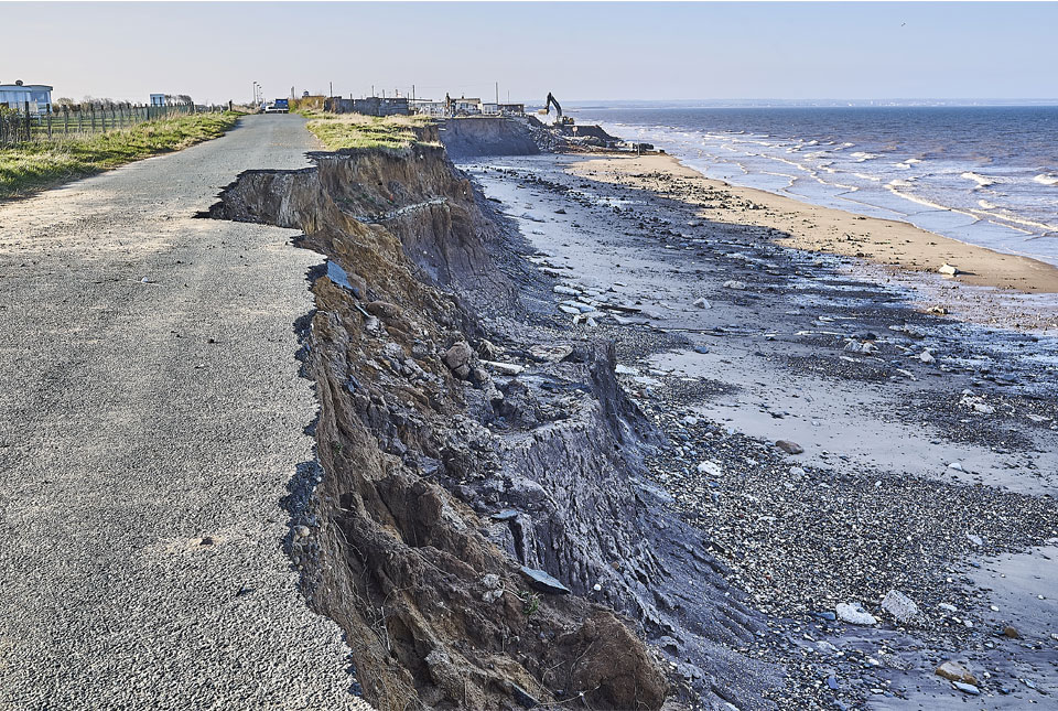
Spotlight on BGS coastal erosion data
BGS GeoCoast data can support researchers and practitioners facing coastal erosion adaptation challenges along our coastline.
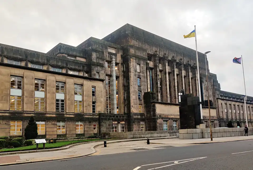
BGS scientist announced as Scottish Government policy fellow
BGS geohazard scientist Roxana Ciurean has been named amongst new policy fellows for the Scottish Government.
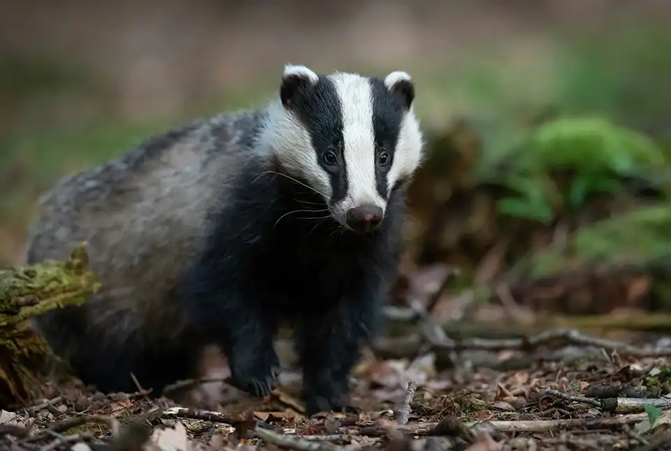
Burrow-detecting devices could protect flood defences
BGS scientists have trialled a new way of detecting animal burrows in clay flood embankments.