Relative topics
57 results for "digital data"
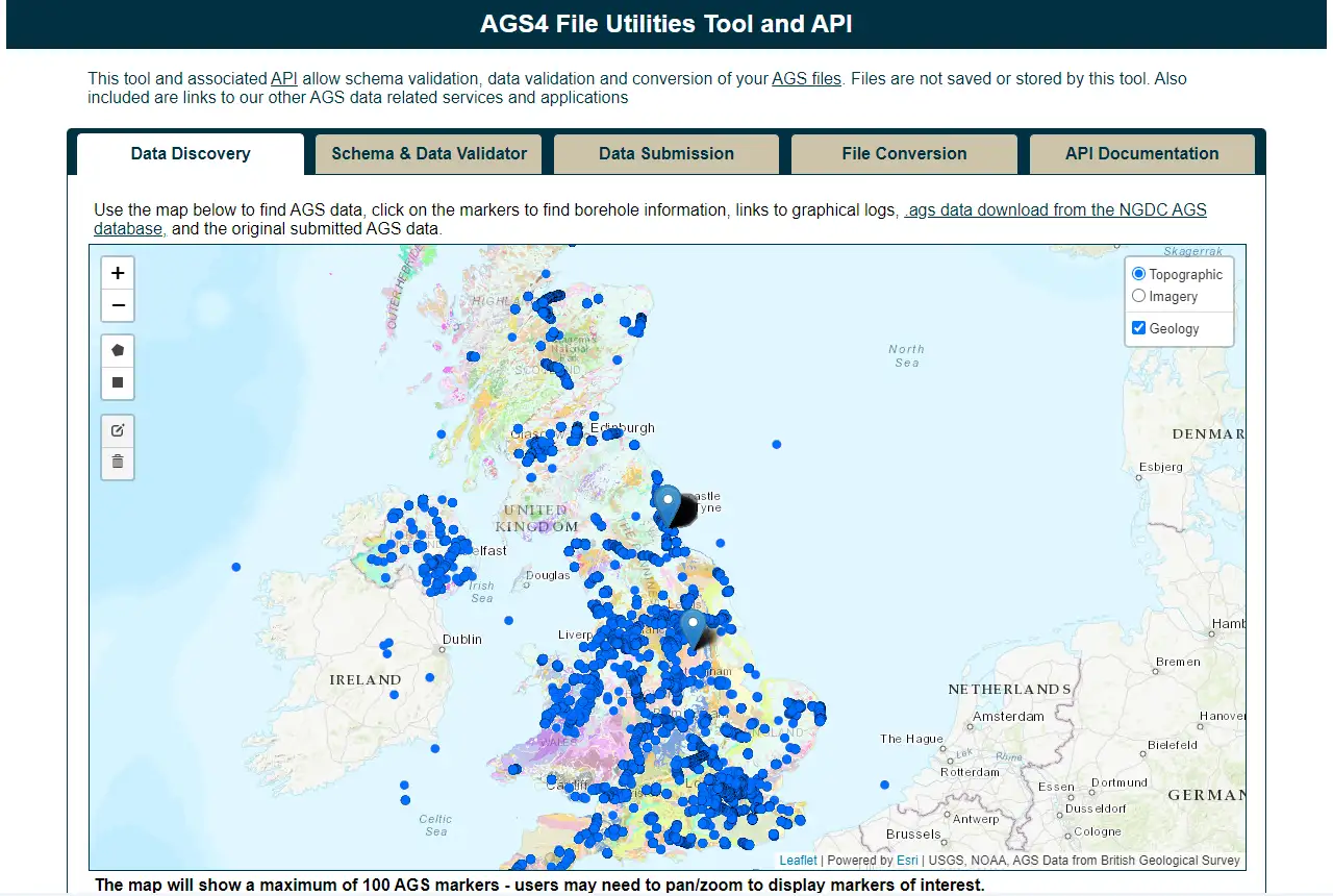
Update to BGS’s AGS file utilities tool released
BGS has released significant updates to its online tool for validating geotechnical data held as AGS files. The update includes improvements to the tool’s user interface and the ability to convert AGS data into MS Excel files.
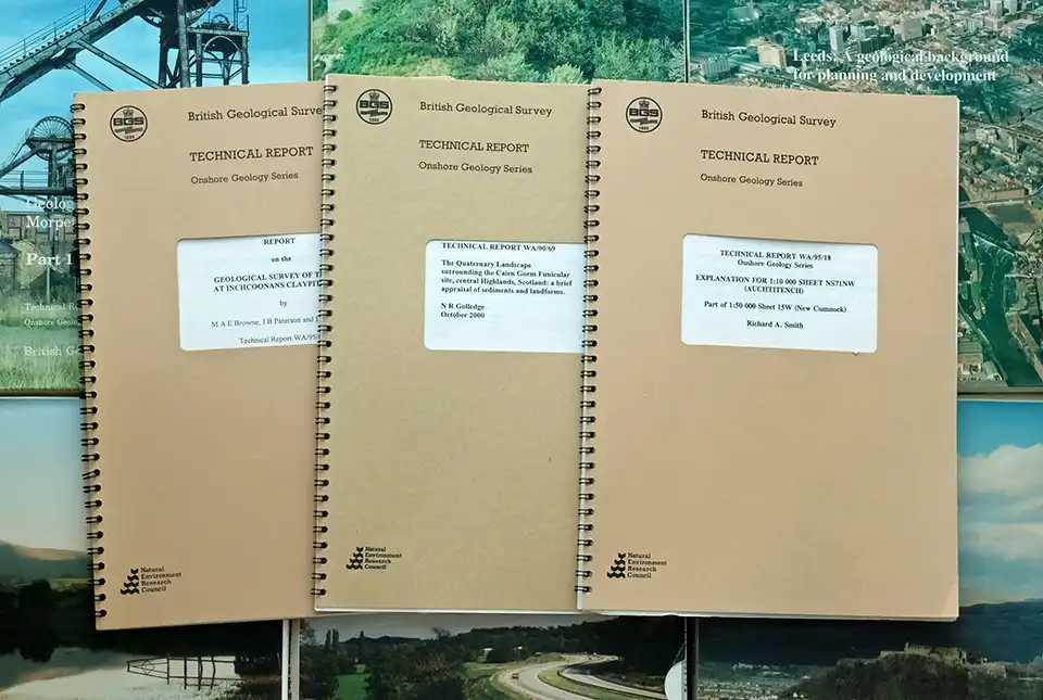
BGS’s National Geoscience Data Centre releases over 8000 technical reports
The technical reports, covering the full spectrum of BGS activities and subjects, were produced between 1950 and 2000.
BGS announces collaboration with Ordnance Survey
Ordnance Survey and BGS have teamed up to add a range of geological data products to the OS Data Hub, making it easier for users to access and use geospatial data.
BGS data product licence fees to rise
New direct licence fees to be introduced from 1 April 2024.

Evolving policies in the face of climate change: BGS data can help
Climate change is increasingly recognised as a major challenge for organisations, with the need for adaptation driving a wave of policy updates and reforms across multiple sectors. BGS data holdings are relevant to many of these changes and the following examples outline how these data packages can be applied.
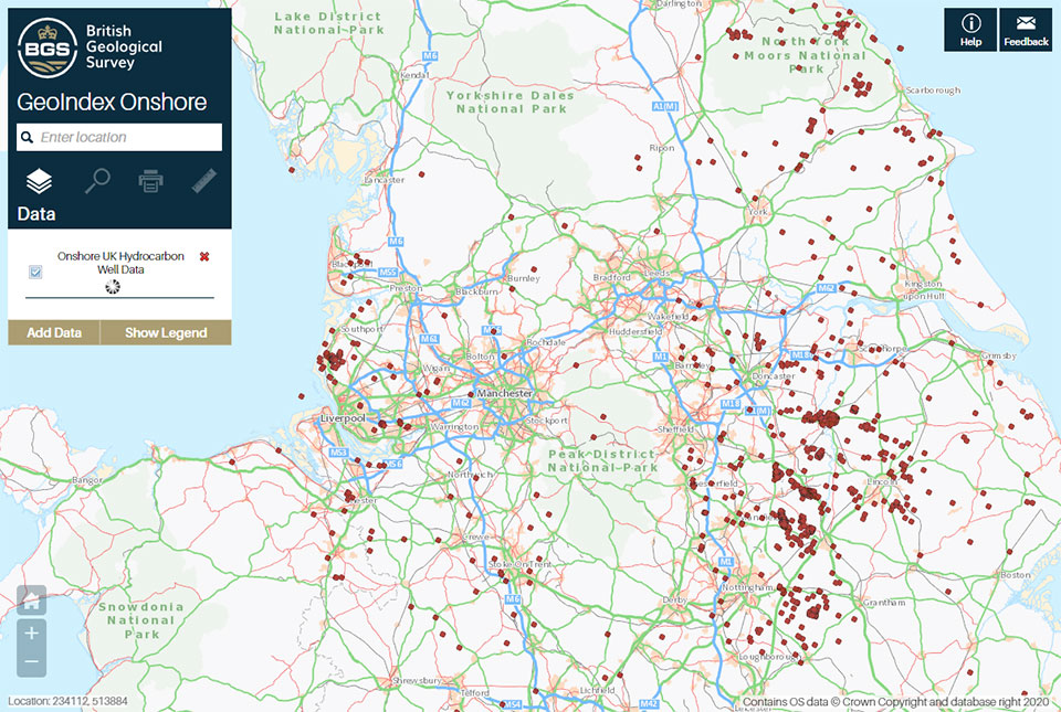
A new open dataset to benefit onshore geoscience research
Data from deep onshore hydrocarbon wells is being released on an open access basis to help meet the UK’s net zero targets.

AGS file utilities tool: production release
BGS’s online tool for validating AGS files against the official AGS data format rules and its own NGDC data submission requirements goes live.
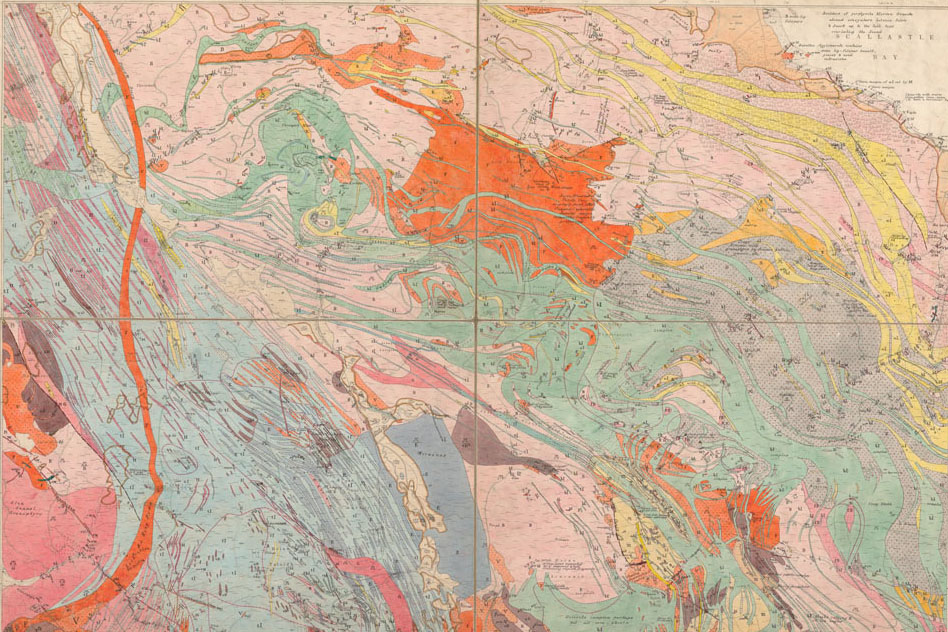
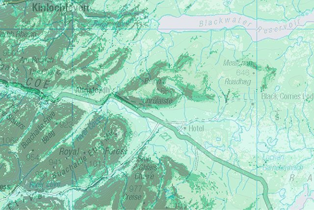
BGS releases 10K maps through updated maps portal
BGS releases an updated maps portal, which allows users to view all publicly available maps, and includes 10 000 and 1:10 560 scale maps for the first time.