Latest

UK’s world-class research organisations launch new collective
10/07/2026
The launch of the National Research Organisations Group, brings together more than 100 leaders from government, research, industry and funding organisations, providing an authorativive voice on science, research policy and long-term investment.

Cheshire Geoenergy Observatory releases key geological datasets for UK thermal energy storage scheme design
09/07/2026
A new report and data packs from BGS will provide a unique resource for scientists working on the geology and hydrogeology of the Sherwood Sandstone Formation, an important aquifer and reservoir rock.


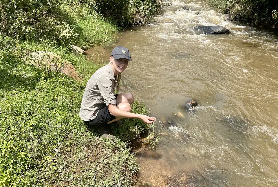
Strengthening capacity through partnership: a critical minerals perspective
28/04/2026
BGS has been working in partnership with the Geological Survey Department of Zambia (GSD) to build national capacity, improve data accessibility and support long-term, sustainable development.
Explore more news
Browse all news and events by category
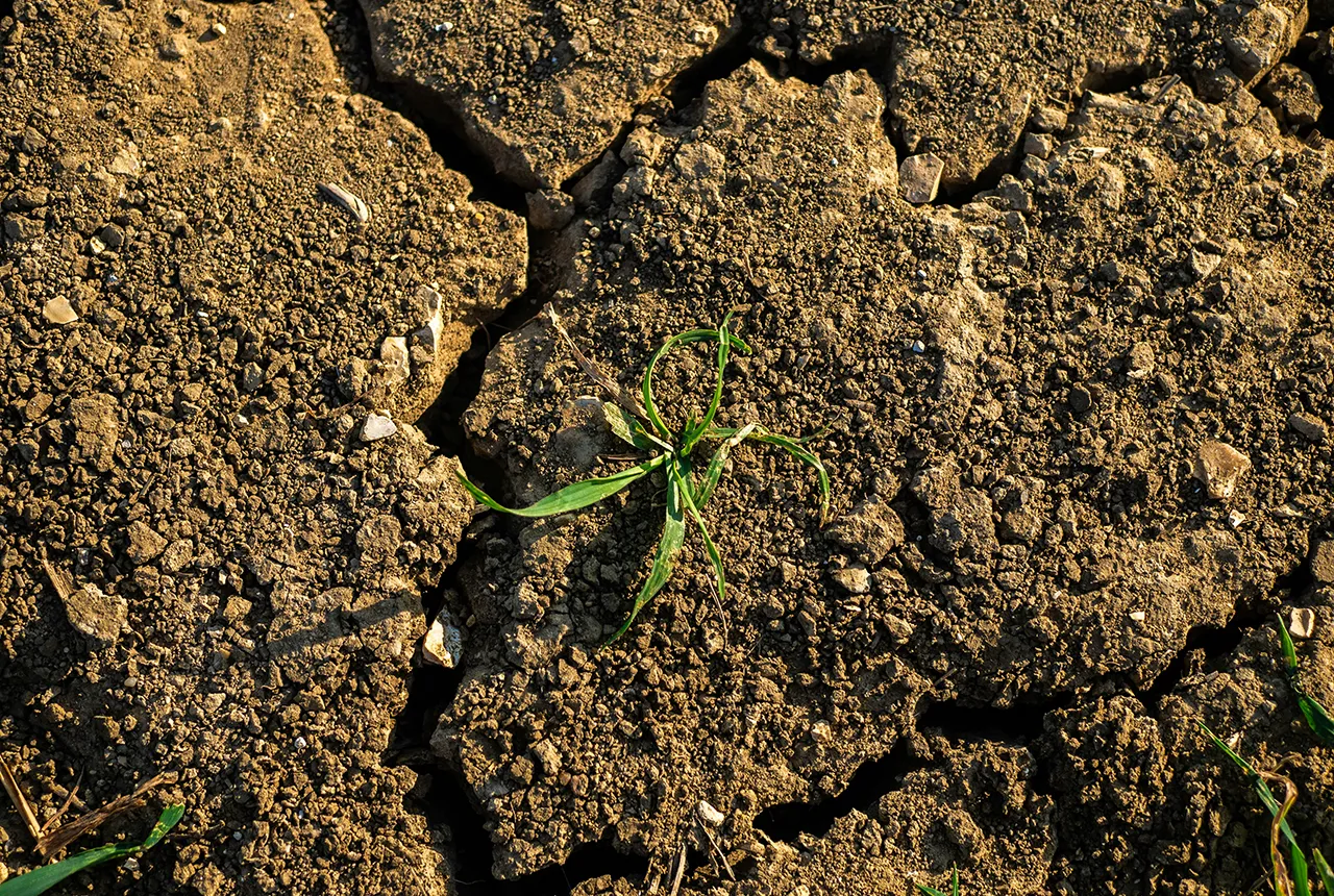
What is the impact of drought on temperate soils?
22/05/2025
A new BGS review pulls together key information on the impact of drought on temperate soils and the further research needed to fully understand it.
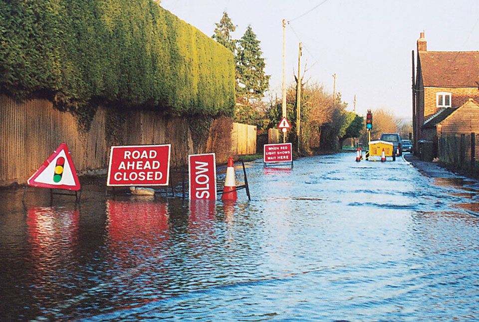
BGS Groundwater Flooding Susceptibility: helping mitigate one of the UK’s most costly hazards
25/09/2024
Groundwater flooding accounts for an estimated £530 million in damages per year; geoscientific data can help to minimise its impact.
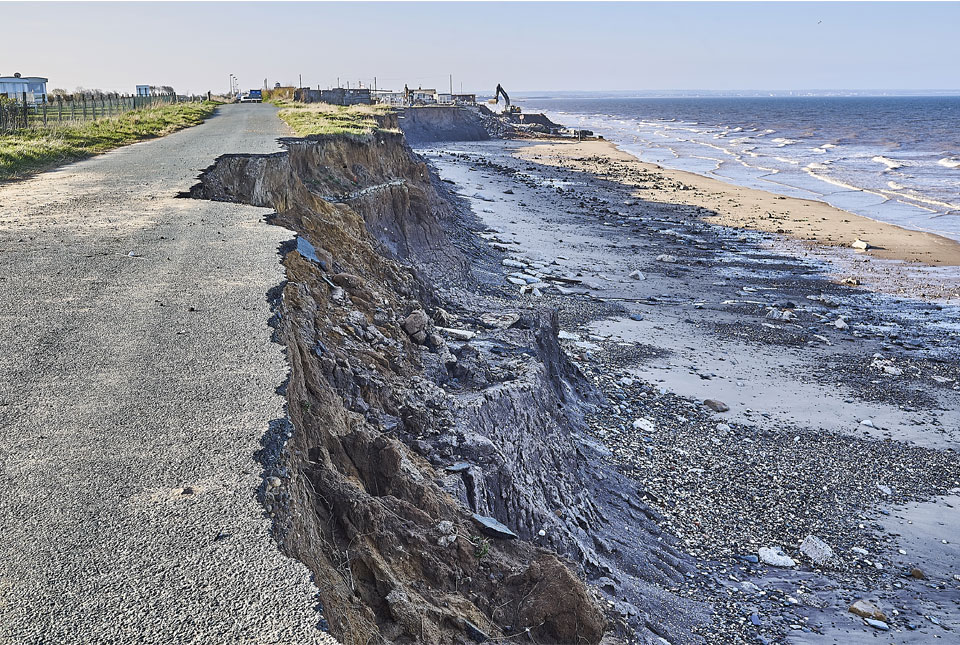
Spotlight on BGS coastal erosion data
18/07/2024
BGS GeoCoast data can support researchers and practitioners facing coastal erosion adaptation challenges along our coastline.

Nearly three million people in Indonesia’s second city could be affected by an earthquake
17/07/2024
BGS-led research reveals the number of people in the Bandung metropolitan region who could be exposed to a major earthquake.
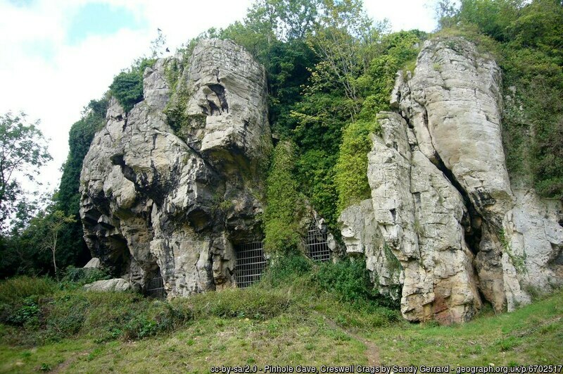
Creswell Crags Museum collections offer insight into the past and future of wolves
12/07/2024
Bones found at the site are helping scientists to understand the diet of wolves and how they differ over time.
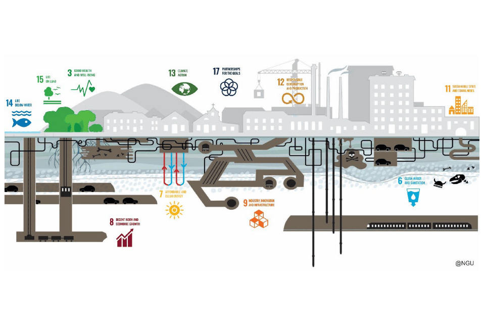
Delivering a sustainable urban future for Europe through geoscience
08/05/2024
Research, led by BGS and EuroGeoSurveys’ Urban Geology Expert Group, explores how urban geoscience is reflected in European urban and environmental policy.

New research supports conservation of fallow deer across Europe
16/04/2024
New research has combined zooarchaeology and ancient and modern biomolecular datasets to reveal a new understanding of the history and projections of fallow deer.
The optimisation of plutonium separation
07/11/2023
BGS research leads to advancements in the detection of plutonium and ultimately the determination of soil erosion rates in tropical soils.