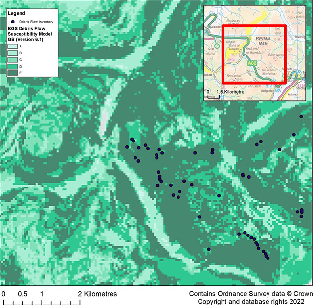

Debris flow susceptibility model SW Scotland. Contains Ordnance Survey data © Crown Copyright and database rights 2022.
BGS GeoSure: debris flow susceptibility model
- 1:50 000
- Great Britain
- Premium
The Debris Flow landslide layer provides information on the potential of the ground, at a given location, to form a debris flow. It is based on a combination of digital geological, hydrogeological and topographic data.
Supporting documents:
Key information
- Scale:
- 1:50 000
- Coverage:
- Great Britain
- Availability:
- Premium
- Price:
£0.32 per km2 as part of BGS GeoSure Landslides bundle
- Format:
- GIS grid data (ESRI and ASCII grid; others available by request)
- Uses:
- Local-level use
- Themes:
- Engineering geology, Hazards
The GeoSure debris flow susceptibility model provides information on the potential of the ground, at a given location, to form a debris flow. It is based on a combination of digital geological, hydrogeological and topographic data. The methodology develops an additional dimension to the BGS GeoSure landslides layer and is designed for users interested specifically in debris flow susceptibility.
The term ‘debris flow’ refers to the rapid, downslope flow of poorly sorted debris mixed with water. These flows are a widespread phenomenon in mountainous terrain and are distinct from other types of landslides as they can occur periodically on established paths, usually gullies and first- or second-order drainage channels.
Debris flows in Great Britain are most commonly found in upland Scotland but also occur in parts of Wales and the Lake District. Find out more about how landslides are classified.
Debris flows are potentially very destructive and, due to the speed at which they take place, can for example rapidly block infrastructure routes such as the Rest and Be Thankful Pass and Glen Ogle.
GeoSure ground stability data consist of six data layers in GIS format that identify areas of potential hazard in Great Britain. One of these six layers, GeoSure landslides, best simulates shallow translational and rotational landslide types. In order to incorporate another damaging landslide type common in upland Britain (debris flows), the BGS Debris Flow Susceptibility Model (DFSM) has been created. Interest in expanding the BGS GeoSure capability to include debris flows primarily arose following a series of debris flows that affected main roads in Scotland in 2004. These events led to the commissioning of the Scottish Road Network Landslides Study by the Scottish Executive (Winter et al., 2008). This review assessed the slopes adjacent to the trunk road network and identified areas that had the greatest potential for similar debris flow events in the future. The DFSM builds on research BGS has conducted over the past 15 years investigating debris flows.
The DFSM is provided as an add-on to the GeoSure Landslides dataset. This is a product enhancement and is provided at no additional cost.
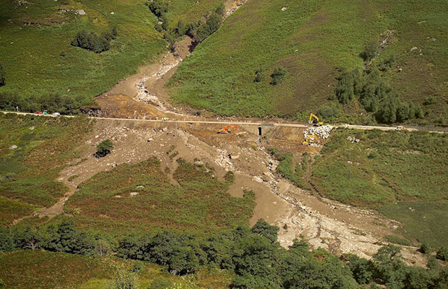
A85 debris flow at Geln Ogle BGS © UKRI 2004.
Debris flow susceptibility model Cental Scotland. Contains Ordnance Survey data © Crown Copyright and database rights 2022.
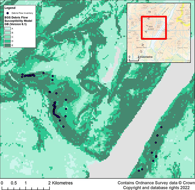
Debris flow susceptibility model Cumbria. Contains Ordnance Survey data © Crown Copyright and database rights 2022.
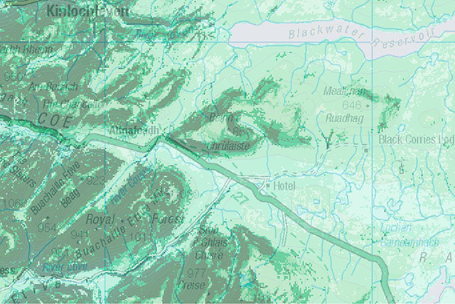
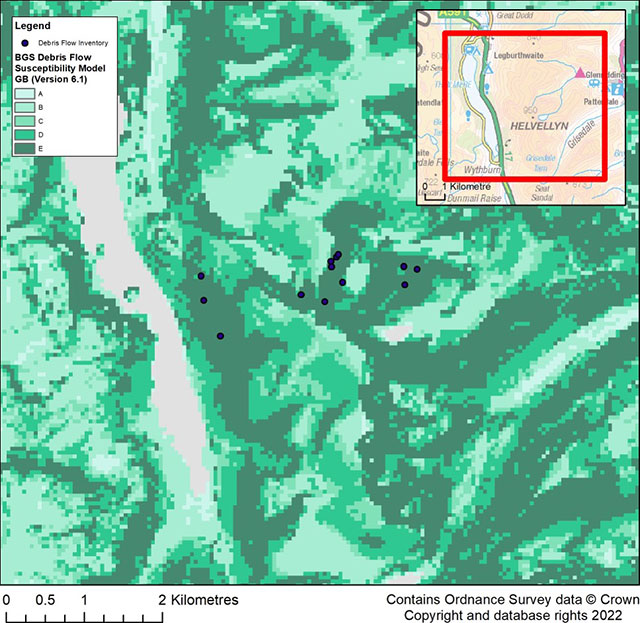
Debris flow susceptibility model GlenCoe. Contains Ordnance Survey data © Crown Copyright and database rights 2022.
You may also be interested in


BGS GeoSure
The BGS GeoSure datasets identify areas of potential hazard and, therefore, potential natural ground movement, in Great Britain.

BGS GeoSure: landslides
The potential for landsliding (slope instability) to be a hazard has been assessed using 1:50 000 scale digital maps of superficial and bedrock deposits. These have been combined with information from the BGS National Landslide Database and scientific and engineering reports.