As part of our ongoing research, the BGS has developed a number of software tools to advance our understanding of scientific systems and help model geological and hydrogeological processes. These tools have been made available for anyone to use.
System for Integrated Geoscience MApping (SIGMA)
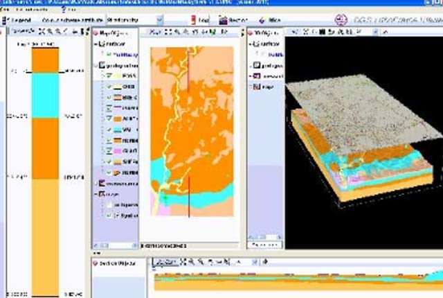
BGS·SIGMA is an integrated toolkit for digital geological mapping, enabling the assembly, capture, interrogation and visualisation of geological information.
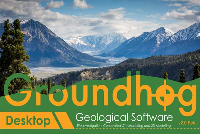
Groundhog v2.8.9
Groundhog Desktop is an integrated tool for geological interpretation and modelling work.

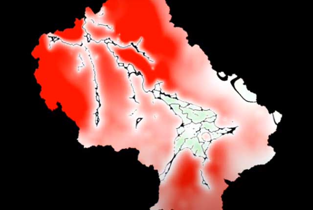
CLiDE environmental modelling platform
The CAESAR-Lisflood-DESC (CLiDE) platform, is a quasi-three-dimensional geomorphological simulator that couples cellular automata modelling from various backgrounds.
GISGroundwater
BGS GISGroundwater is an add-in to ArcGIS that models the depth to groundwater beneath the land surface.
LithoFrame Viewer
Many of our geological models can be viewed and interrogated using the LithoFrame Viewer application.
BGS GitHub
BGS is increasingly utilising GitHub to make some of its software available as open source in order to encourage collaborative software development with partners and the wider community.
You may also be interested in

Technologies
Applications, software and online services created by the BGS and our collaborators.