

Latest
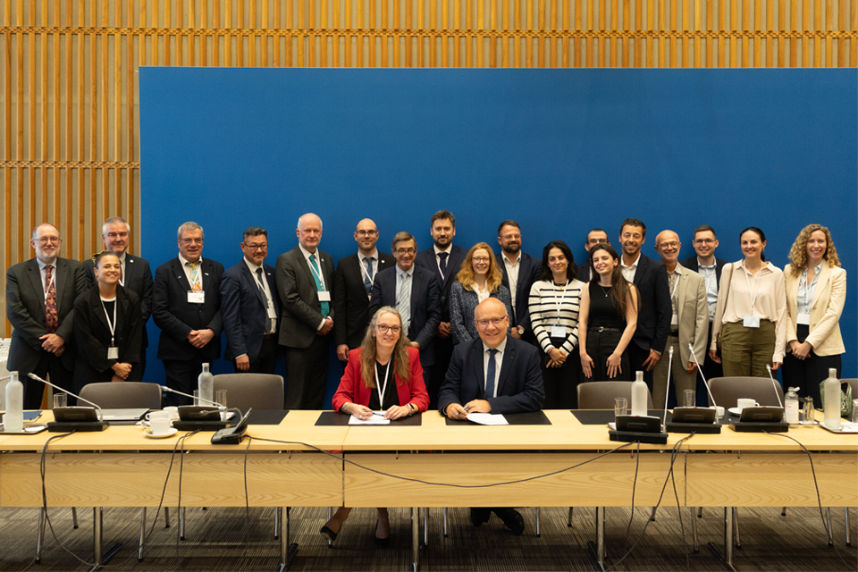
British and French geological surveys strengthen collaboration through new agreement
14/10/2026
Two of Europe’s leading geological surveys have signed a Memorandum of Understanding to strengthen collaboration on key geoscientific challenges.
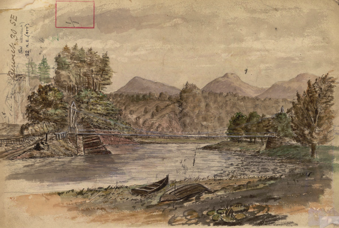
Historic watercolour unearthed on back of Dryburgh geological field map
05/10/2026
A 150-year-old painting of Dryburgh Suspension Bridge and the River Tweed offers an insight into the Scottish Borders landmark shortly after it was built in the 1870s.
Improving bioaccessibility testing for contaminated soils
15/10/2026
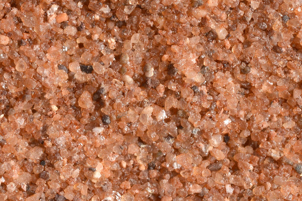
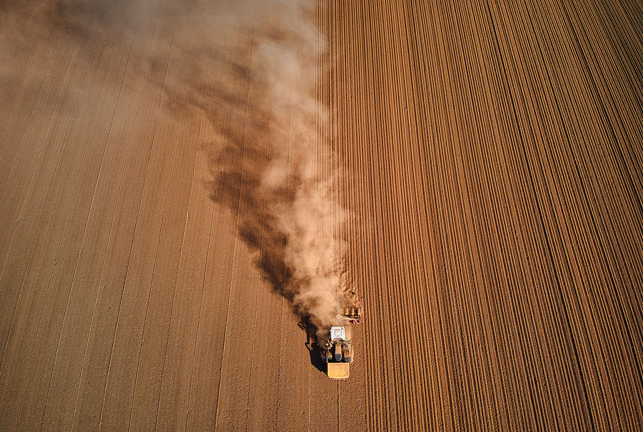
BGS has been trialling a novel bioaccessibility tracing technique to ascertain if it offers more analytical precision over traditional methods of detecting chemicals in contaminated soils.
Explore more news
Browse all news and events by category

Unlocking the deep geothermal energy potential of the Carboniferous Limestone Supergroup
28/06/2021
How understanding the subsurface beneath our towns and cities may allow us to access geothermal energy for heating homes and powering the UK.

BGS collaborates on new £1 million EPSRC-funded digital research project to help make urban growth more sustainable
28/06/2021
Novel research to develop a digital service for future water management and support efforts to make urban growth more sustainable.
Climate change and human migration out of Africa
23/06/2021
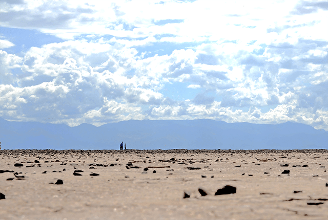
An international team of scientists have shown how climate change could have enabled the migration of Homo sapiens around 60 000 years ago.
Spaceborne data: an expanding role in disaster response
23/06/2021
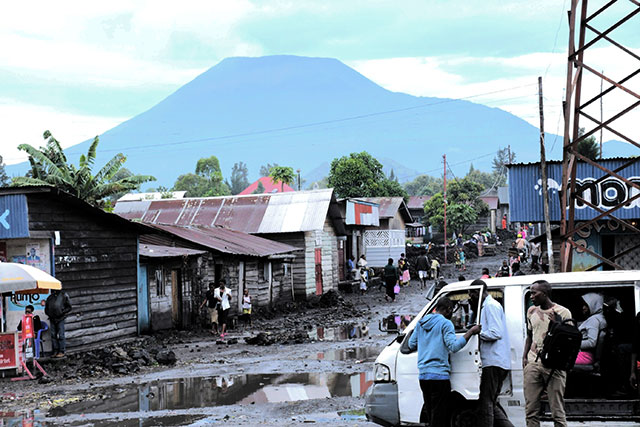
Alessandro Novellino explains the importance of Earth observation to help facilitate successful emergency responses after natural hazard occurrences.

BGS Digital data review 2021–22
18/06/2021
BGS has undertaken a comprehensive understanding of the data ecosystem in which we operate, providing a detailed assessment of our current operating models and the options for our target operating model over the next 10 years.
Improving water security in the Philippines
10/06/2021
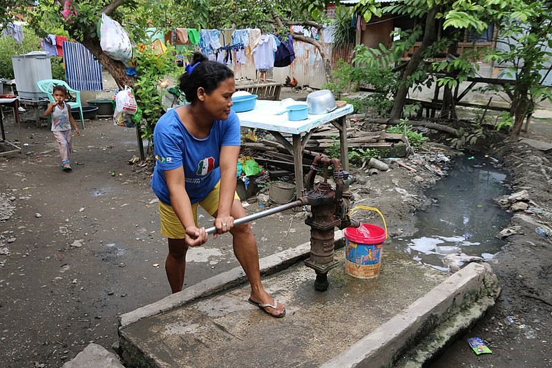
Water supplies in parts of the Philippines are frequently scarce and supplies are often shut down. Intermittent water supply in parts of the country presents serious consequences to health.
Lithium: a critical raw material for our journey to net zero
09/06/2021
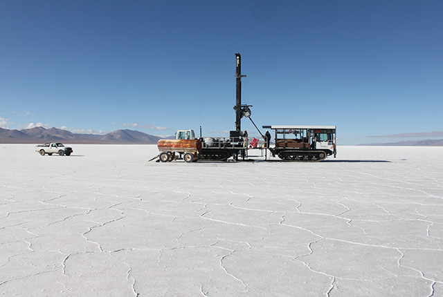
Understanding the geology and natural resources of lithium will be vital as demand is forecast to significantly increase.
BGS part of successful Energy Research Accelerator to put Midlands region on the road to net zero
08/06/2021
The consortium of internationally-recognised research institutions will bring together expertise in energy research to help the UK to meet its ambitious net zero targets