Latest

Updated geological assessment of the Southern North Sea set to underpin future offshore infrastructure development
25/03/2026
The first regional assessment for 30 years will support offshore marine and subsurface planning for the UK’s low-carbon energy infrastructure, including the 2030 target of 45 to 50 GW generated through offshore wind.

New research could help provide a more reliable water supply for millions in rural Africa
24/03/2026
A new BGS-led study has revealed crucial insights into the longstanding challenges affecting the reliability and performance of rural water supply infrastructure in sub-Saharan Africa.


PhD adventures in Copenhagen, Denmark: revealing past recovery processes of tropical forest systems through ancient environmental DNA
12/03/2026
PhD student Chris Bengt visited the University of Copenhagen to carry out very delicate extraction of aeDNA from lake-sediment cores, in the hopes of unlocking the secrets of past volcanic eruptions.
Explore more news
Browse all news and events by category
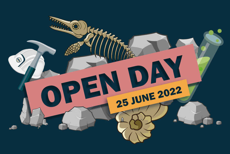
BGS Open Day 2022
Event on 25/06/2022
Join us for a FREE day of science and discovery as we explore the fascinating world beneath our feet!

Hidden from view: a century of rising groundwater levels in India and Pakistan
22/04/2022
Groundwater storage increased in Pakistan and north-west India for most of the 20th century, a new study shows. So why is there a water crisis?
Introducing GeoCoast: new coastal datasets from BGS
20/04/2022
GeoCoast is an integrated GIS package of datasets designed to inform and support coastal management and adaptation.
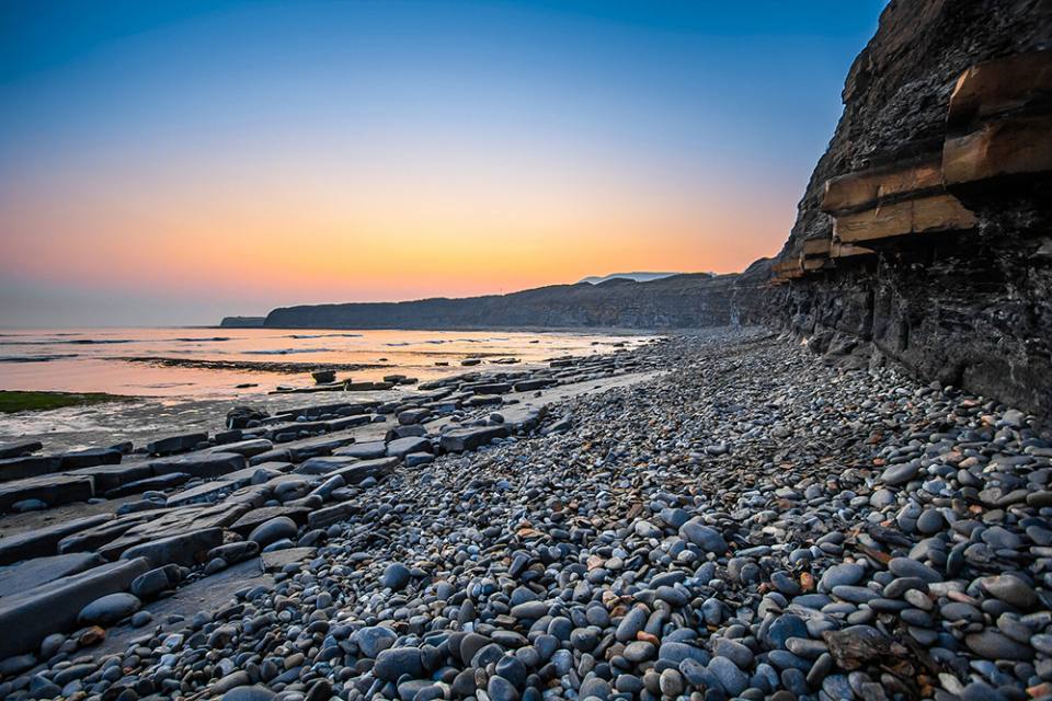
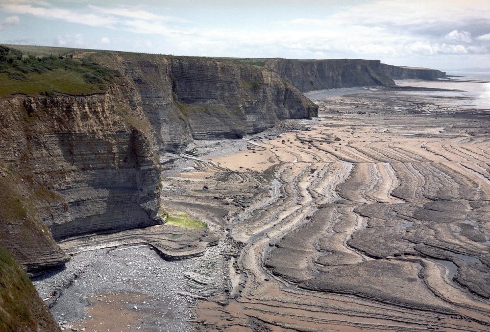
Six changing coastlines and how climate change could affect them
12/04/2022
We explore how parts of the British coastline are changing and what important factors we should consider in terms of natural hazards, adaptation and resilience.
UK Minerals Yearbook 2021 available to download
11/04/2022
The UK Minerals Yearbook 2021 provides essential information about the production, consumption and trade of UK minerals up to 2020.
BGS releases first in a series of new offshore maps of the UK seabed
06/04/2022
BGS has released the first high-resolution, offshore map in a new series featuring the seabed around the UK.
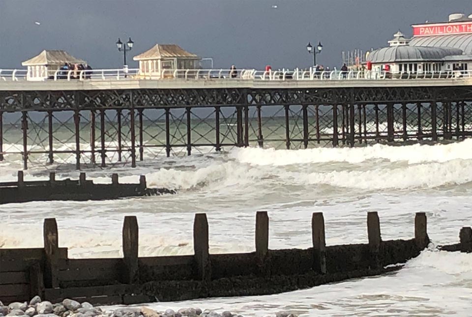
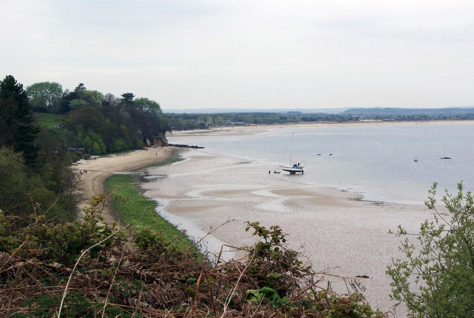
Sea level rise and coastal erosion: what’s the real impact?
05/04/2022
How much of an issue are coastal vulnerabilities and what do we need to consider to increase our resilience to future events?
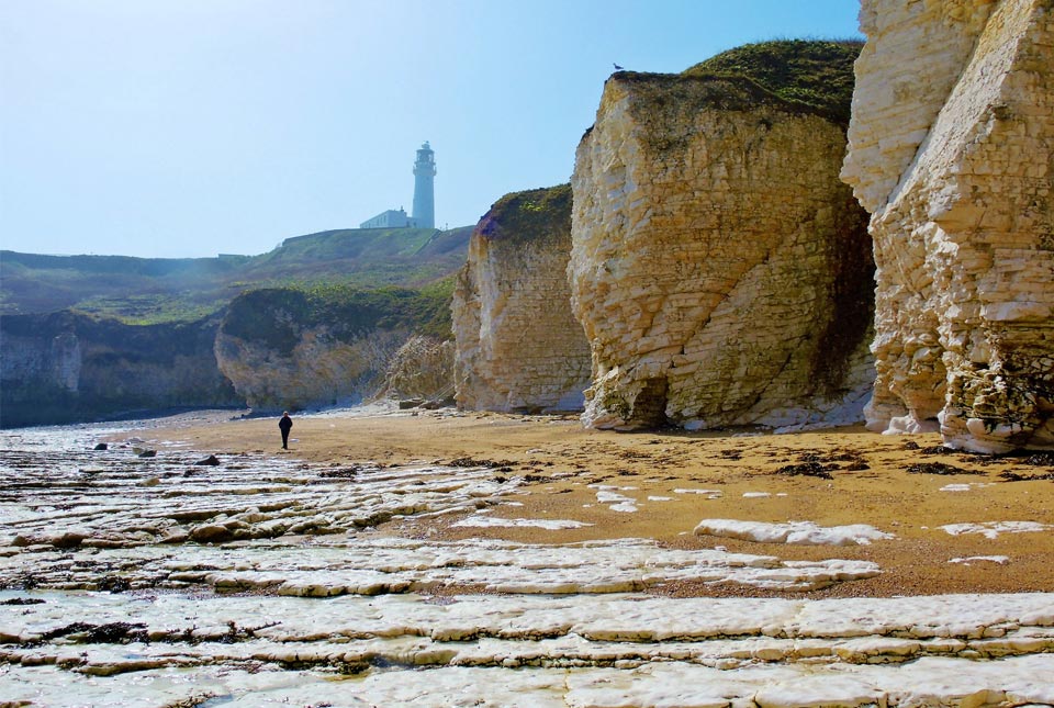
New BGS datasets for coastal management, planning and adaptation in the face of climate change
29/03/2022
BGS GeoCoast is a package of geospatial datasets designed to provide information on the geological conditions and constraints around the coastline of Britain.