Latest

From archive to discovery: historical mineral reports support gold exploration in Scotland
25/06/2026
Digitised geological records show potential to unlock untapped mineral resources in Ardlochan, Argyllshire.

UK and Philippines scientists investigate natural hydrogen generation processes at atomic scale
22/06/2026
BGS researchers were granted access to use the Diamond Light Source facility in order to study hydrogen in light brighter than the sun.


Strengthening capacity through partnership: a critical minerals perspective
28/04/2026
BGS has been working in partnership with the Geological Survey Department of Zambia (GSD) to build national capacity, improve data accessibility and support long-term, sustainable development.
Explore more news
Browse all news and events by category
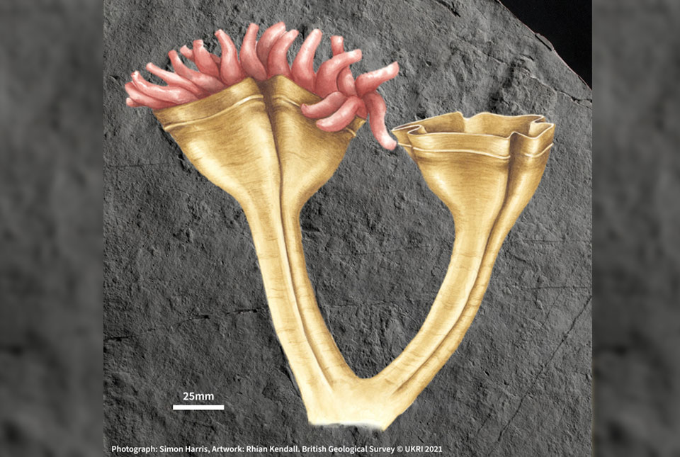
560-million-year-old fossil is first animal predator
25/07/2022
The specimen is the first of its kind to be found and is related to the group that includes modern corals, jellyfish and anemones.
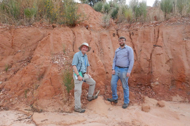
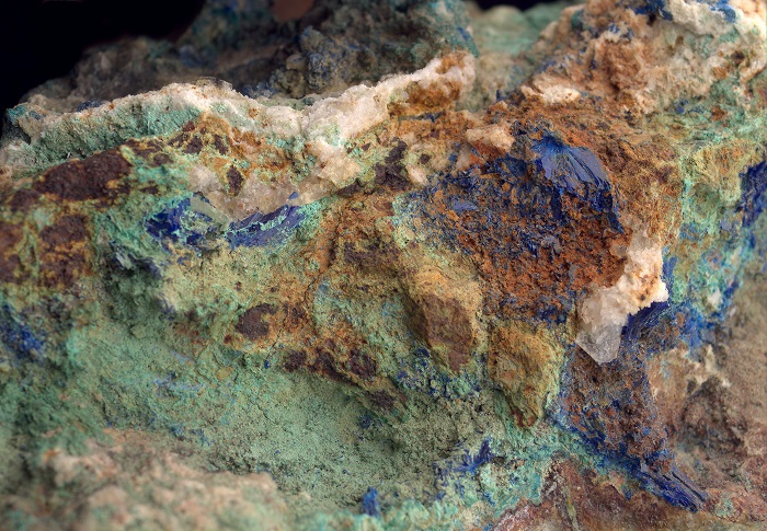
Zambia: the copper mining powerhouse looking towards a safer, low-carbon future
25/07/2022
BGS scientists Clive Mitchell (industrial minerals geologist) and Elliott Hamilton (environmental chemist) report on their recent visit to the Copperbelt Province in Zambia.
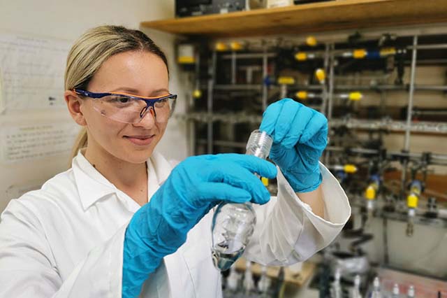
Training in stable isotope analysis as a PhD student from Croatia
20/07/2022
Recently, Ivona Ivkić Filipović visited BGS to undertake a placement at the Stable Isotope Facility. Here, she tells us a little about her experience and how it will contribute to her PhD research.
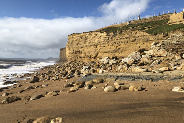
Increased risk to the public from rockfalls as a result of the forecasted heatwave
15/07/2022
Take notice of warning signs and avoid going directly under or on top of cliffs, no matter how tempting it might be.
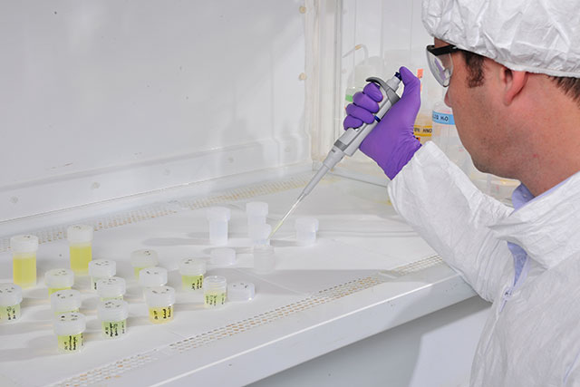
BGS receives silver LEAF accreditation for sustainable practices
12/07/2022
The accreditation is a standard awarded to laboratories that can demonstrate practical steps towards improved efficiency and sustainability.

Identifying the science challenges for UK carbon storage
07/07/2022
A new report underlines importance of community engagement in achieving the UK national climate change targets.
UK’s Critical Minerals Intelligence Centre to help build a more resilient economy
04/07/2022
The UK’s new centre to collect and analyse information on the supply of critical minerals, which are vital to the UK’s economic success and national security, has officially launched.

The importance of biodiversity in achieving net zero
02/07/2022
Protecting the natural world is an important component in achieving net zero.