Latest

New NERC-funded project empowers young people to engage with environmental science
23/07/2026
BGS is part of a new, collaborative project, funded through NERC’s ‘Opening up the environment’ programme, helping the environmental research community become more accessible.

Delving deep into mountains for future water security
16/07/2026
A BGS-led project is using new water-tracing investigation methods, geophysics and modelling to understand how water moves from mountains to the lowlands, helping to improve water security for billions of people.


Building Europe’s geological future
20/07/2026
BGS scientists are contributing to a continent-wide initiative that is strengthening collaboration across borders to tackle shared subsurface challenges and unlock new opportunities.
Explore more news
Browse all news and events by category
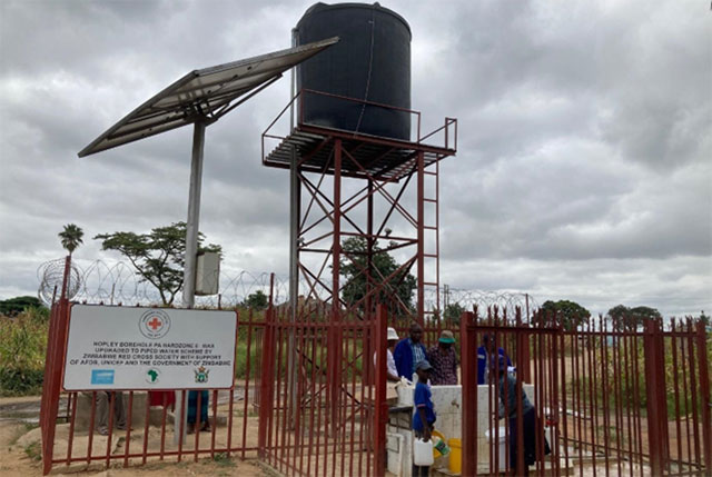
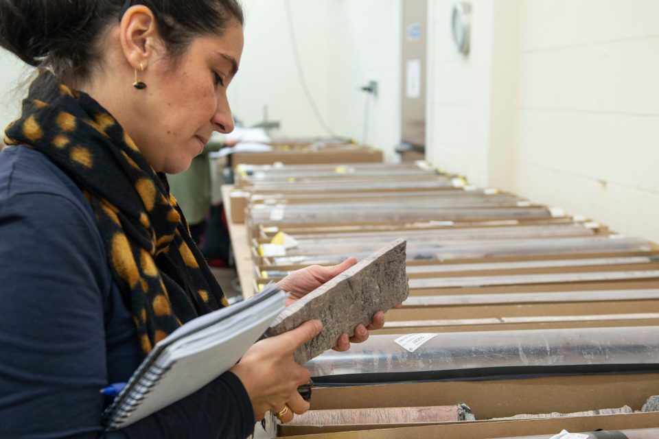
Harare’s clean drinking water challenge
31/05/2023
Researchers from BGS and partners in Zimbabwe report on the urban water supply challenge in the capital city, Harare.
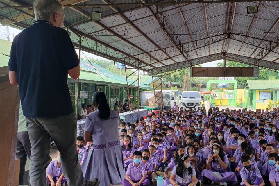
Island groundwater management in the Philippines: part two — Bacolod
23/05/2023
In the second part of their Philippines update, BGS’s Andy Barkwith and Andy McKenzie meet up with other BGS staff members to continue their outreach work.

Dr Marie Cowan awarded the Energy Group Medal by the Geological Society
18/05/2023
This award is presented annually to individuals with a geoscience background who have made an outstanding contribution to the energy industry.

BGS appoints new members to Science Advisory Committee
17/05/2023
Four new members’ three-year terms begin in June 2023.
Collaboration, progress and emerging themes in mine-water heating, cooling and storage
17/05/2023
BGS, the Coal Authority and IEA Geothermal held the third Mine Water Energy Symposium to enhance collaboration and knowledge exchange around the world.
BGS Virtual Strategy Launch – Understanding our Earth
Event on 23/05/2023
Join us online to learn more about our new BGS strategy 2023 to 2028 - Understanding our Earth
AGS file utilities tool: production release
16/05/2023
BGS’s online tool for validating AGS files against the official AGS data format rules and its own NGDC data submission requirements goes live.
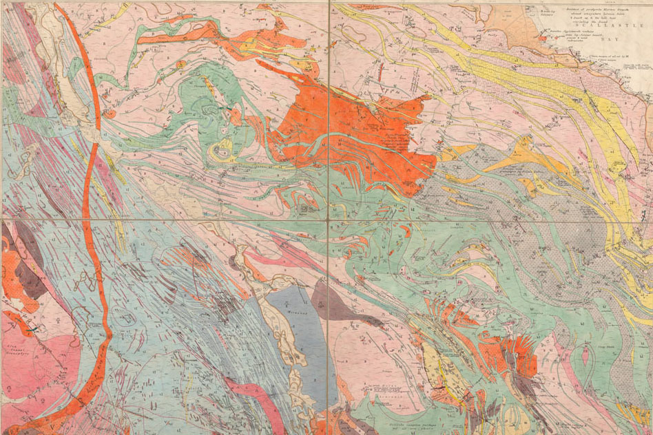
BGS releases 10K maps through updated maps portal
16/05/2023
BGS releases an updated maps portal, which allows users to view all publicly available maps, and includes 10 000 and 1:10 560 scale maps for the first time.