

Latest
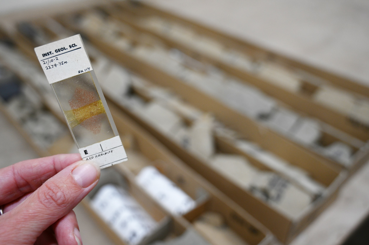
Forties at 56: the North Sea discovery that’s informing the energy transition five decades later
26/10/2026
Geological samples recovered from the UK’s first giant oil field in the 1970s continue to inform industry and researchers aiming to support the UK’s energy security needs.

New project mapping UK Continental Shelf provides boost to offshore infrastructure and development
22/10/2026
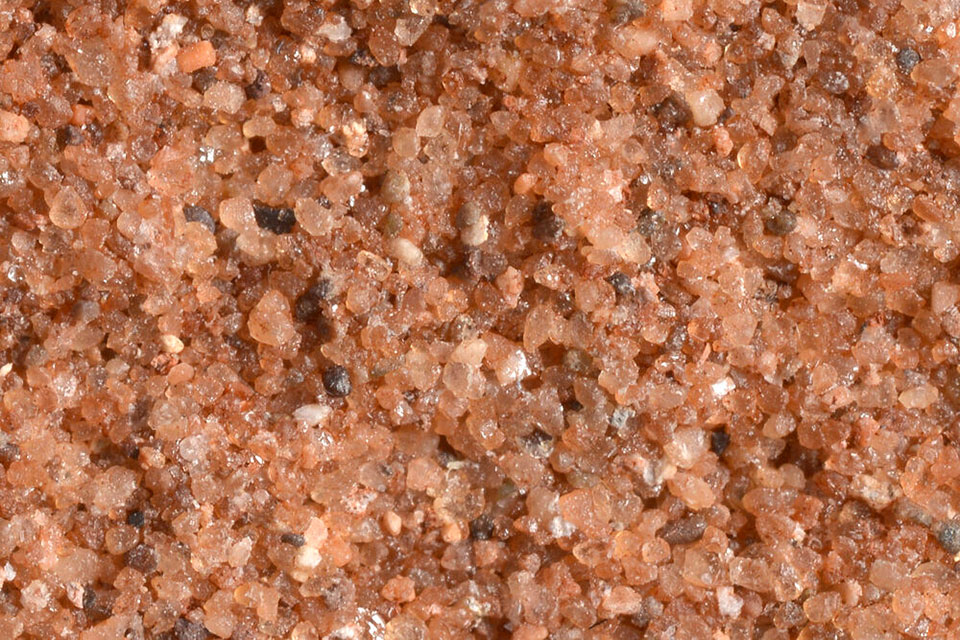
BGS is leading a three-year project funded by The Crown Estate to develop a new suite of seabed geology datasets and reports, providing crucial information for offshore developers about the seabed around the UK.
Improving bioaccessibility testing for contaminated soils
15/10/2026
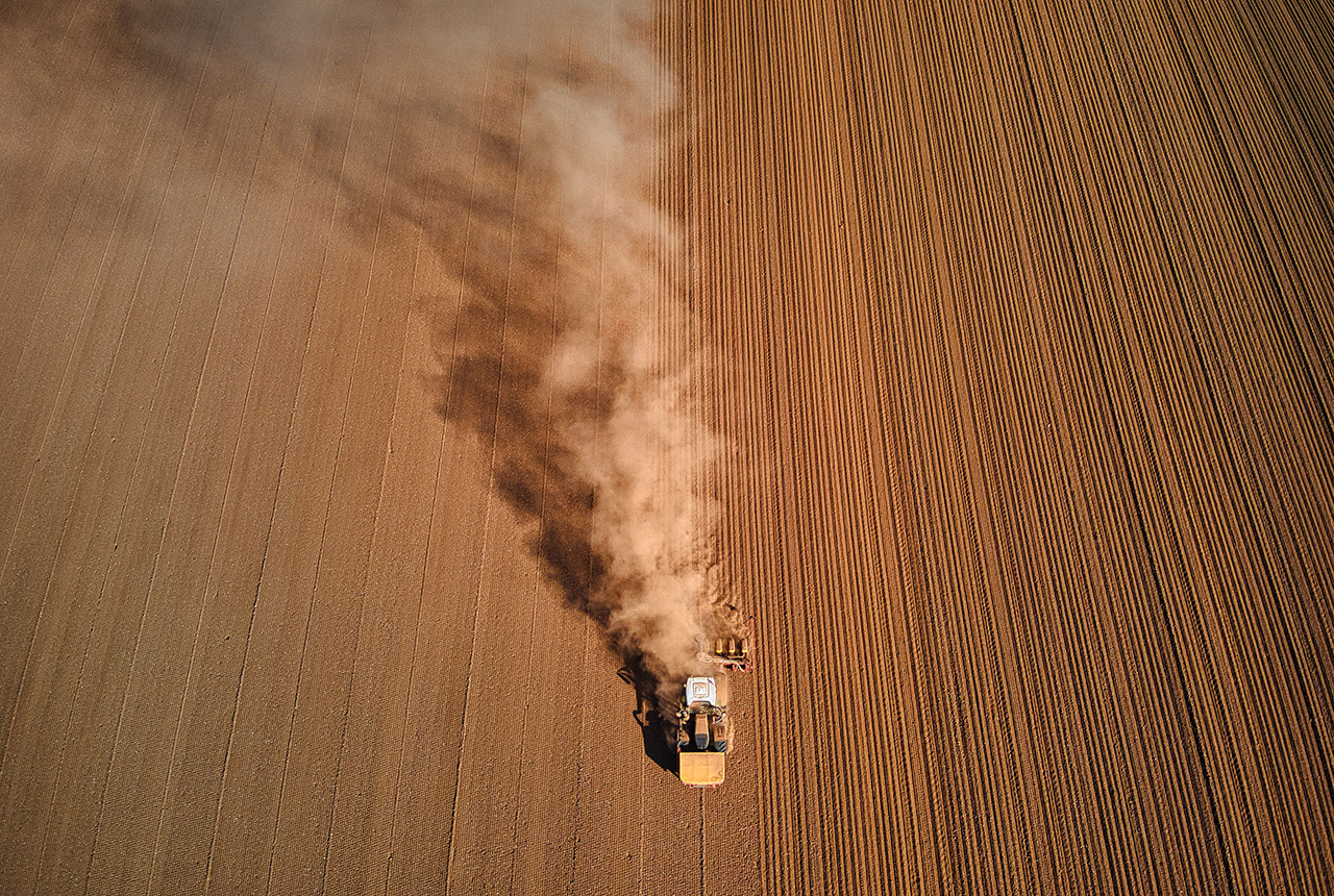
BGS has been trialling a novel bioaccessibility tracing technique to ascertain if it offers more analytical precision over traditional methods of detecting chemicals in contaminated soils.
Explore more news
Browse all news and events by category
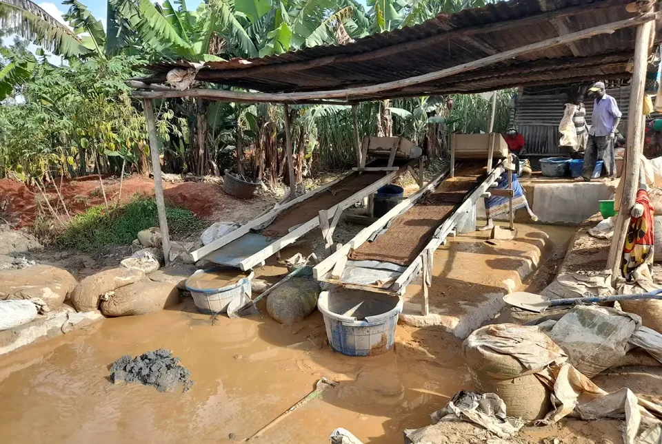
Linking geochemistry and health in artisanal and small-scale gold mining in the Kakamega-Vihiga gold belt, Kenya
09/01/2024
PhD candidate Maureene Auma Ondayo is investigating major and trace element exposure in the environment in Kenya, aiming to reduce exposure of humans to toxic chemicals.

The Geography Olympiad: Bandung, Indonesia
22/12/2023
School student Dion Thompson joined Team UK at this year’s International Geology Olympiad in Indonesia. We hear from Dion’s mentor Anna Hicks, before Dion reports on the Olympiad itself.
CMIC: critical minerals research review
21/12/2023
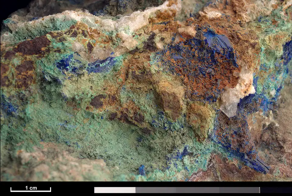
Matthew Reeves of Innovate UK provides an overview of the Critical Minerals Strategy, which sets out how the UK will go about securing its supply of critical minerals.
My role as a stable isotope research assistant
19/12/2023
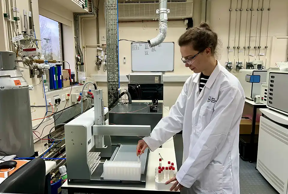
Charlotte Hipkiss has recently taken up a new position in the National Environmental Isotope Facility at BGS and gives us a little insight into her new position.
Groundwater in Taiwan under a changing environment
15/12/2023
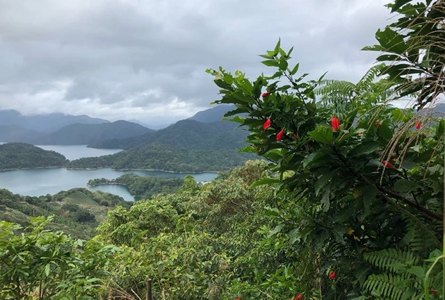
BGS’s groundwater team is part of a project to develop the first groundwater forecasts for Taiwan.
In photos: marine surveying a remote volcanic island
14/12/2023
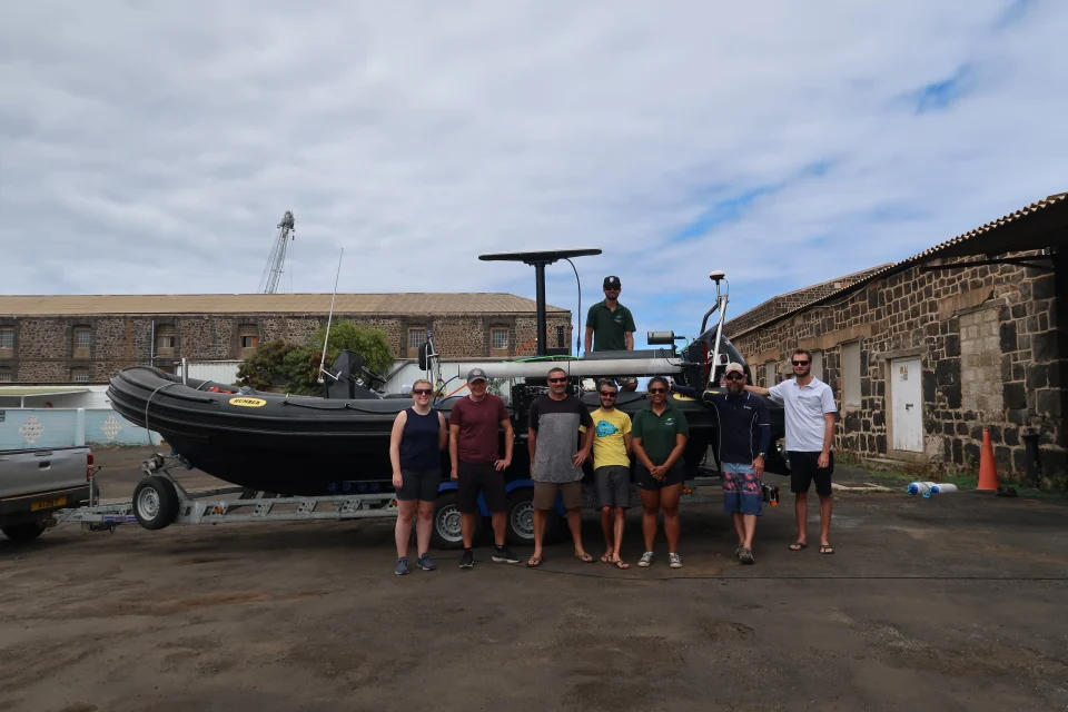
A photo blog by members of the BGS Marine Survey team, who recently completed marine surveys around Ascension Island in the South Atlantic Ocean.
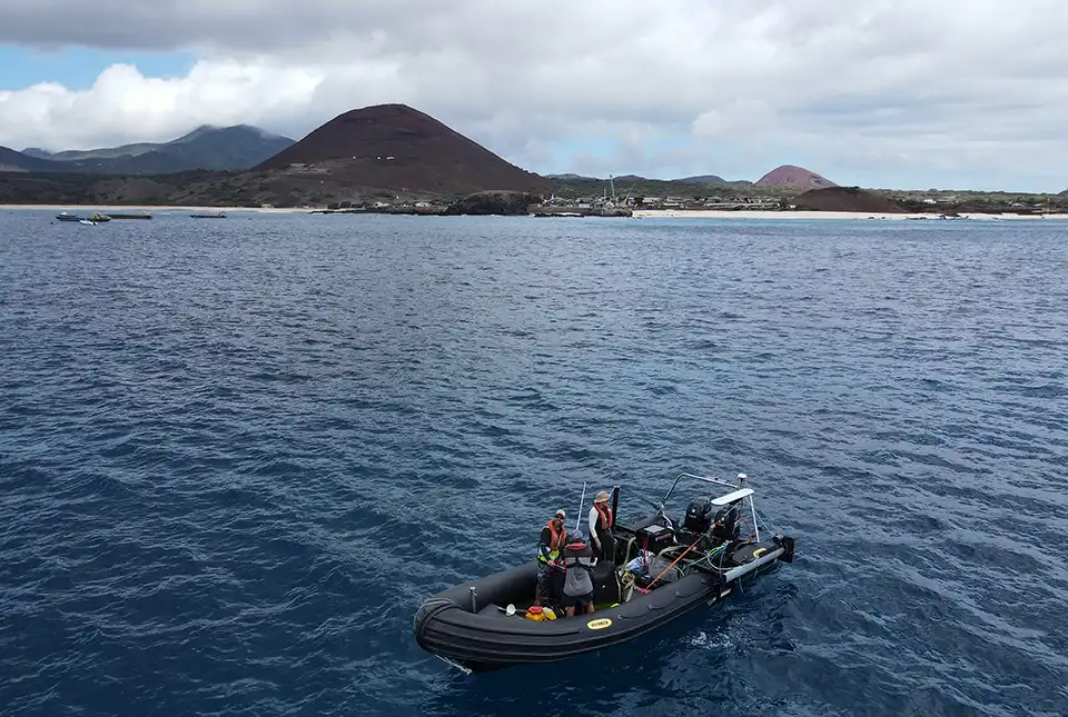
BGS completes first mapping expedition to Ascension Island
11/12/2023
BGS marine geoscientists travelled to Ascension Island to support its government with an ongoing, conservation-driven mapping programme.
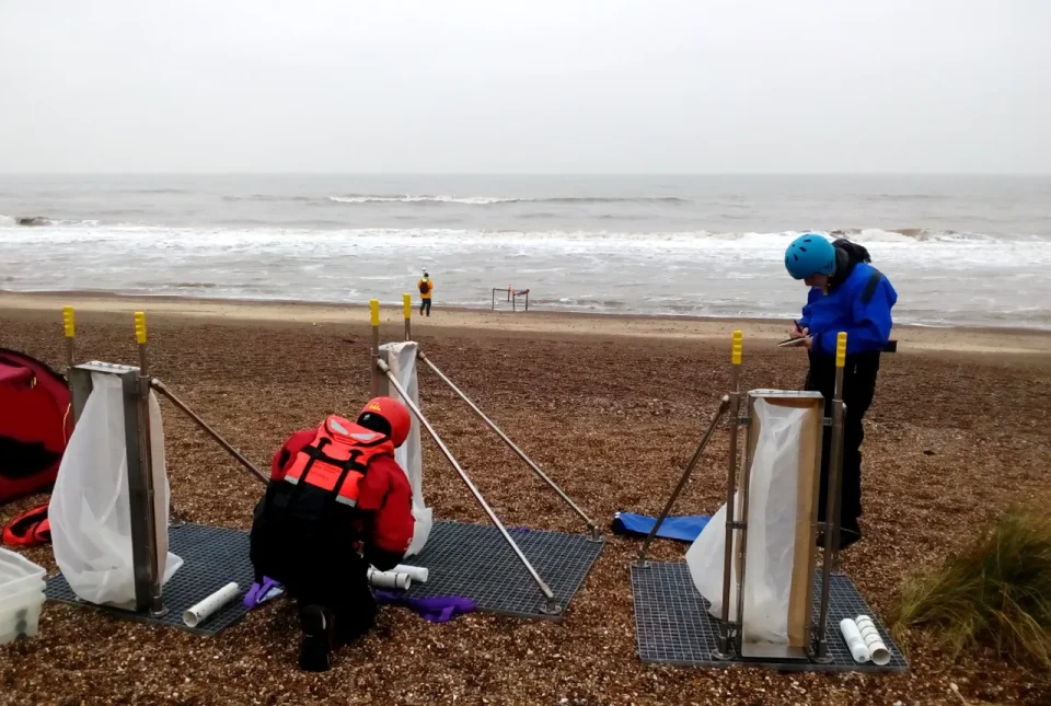
BGS to lead new research project on barrier systems to support more sustainable coastal management
06/12/2023
Scientists at BGS will lead a new four-year project that will enhance our understanding of gravel barrier systems across the coastlines of the UK.