Latest
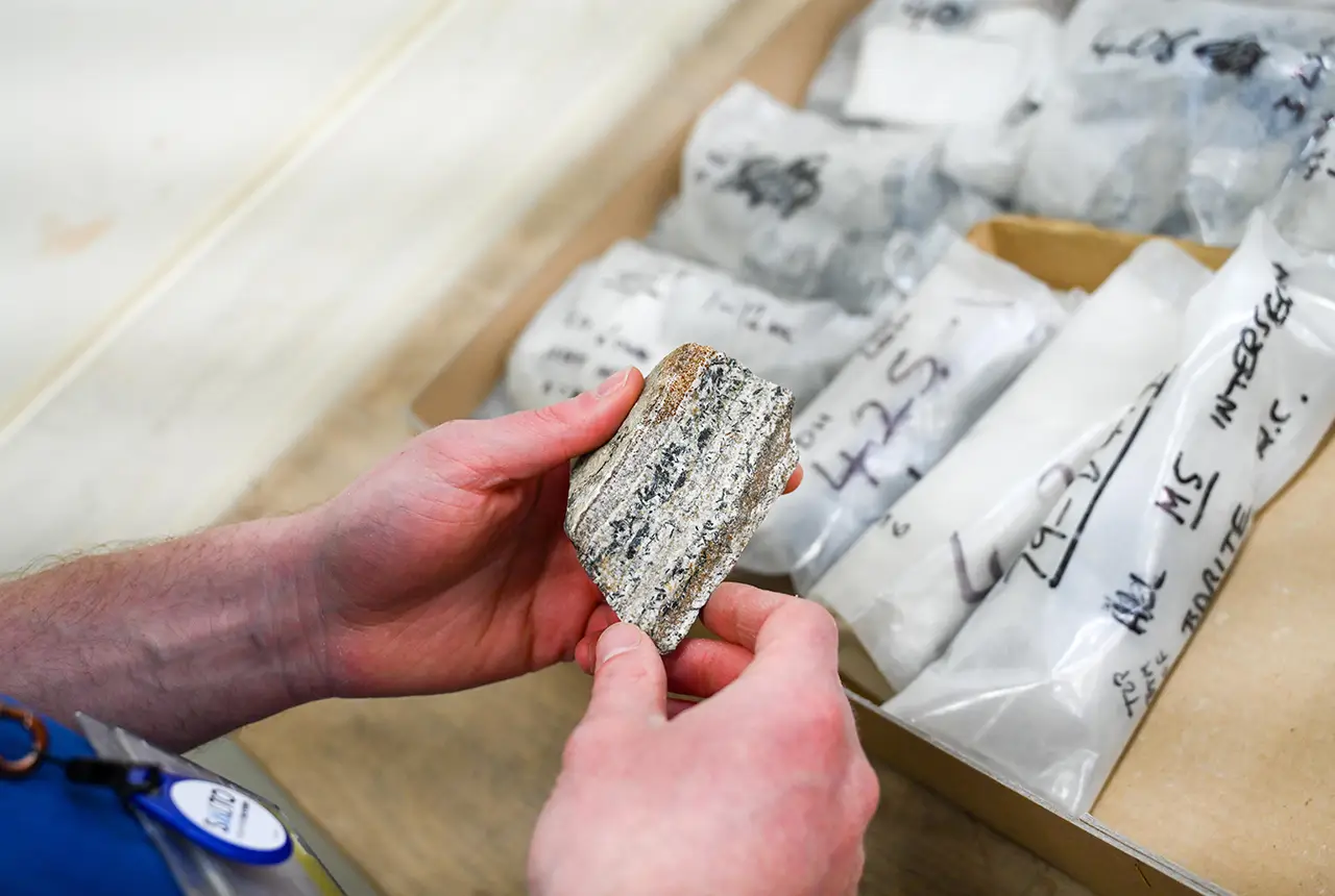
Newly released core could hold clues on potential mineral prospectivity in Perthshire
05/06/2026
A comprehensive collection of geological samples from the vicinity of a former mine in Scotland is now available to scientists for further research.
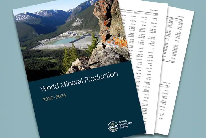
Latest data on world mineral production now available
25/05/2026
BGS has released the updated statistics on the global production of over 70 commodities between 2020 and 2024.


Strengthening capacity through partnership: a critical minerals perspective
28/04/2026
BGS has been working in partnership with the Geological Survey Department of Zambia (GSD) to build national capacity, improve data accessibility and support long-term, sustainable development.
Explore more news
Browse all news and events by category
Warnings for Scottish farmers and distillers as new data indicates climate change may double number of droughts
23/07/2024
The agricultural and distilling sectors could face significant challenges after research finds the number of droughts in Scotland may double in the next 25 years.
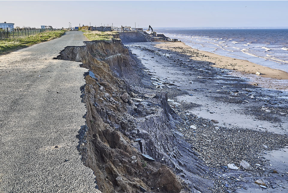
Spotlight on BGS coastal erosion data
18/07/2024
BGS GeoCoast data can support researchers and practitioners facing coastal erosion adaptation challenges along our coastline.
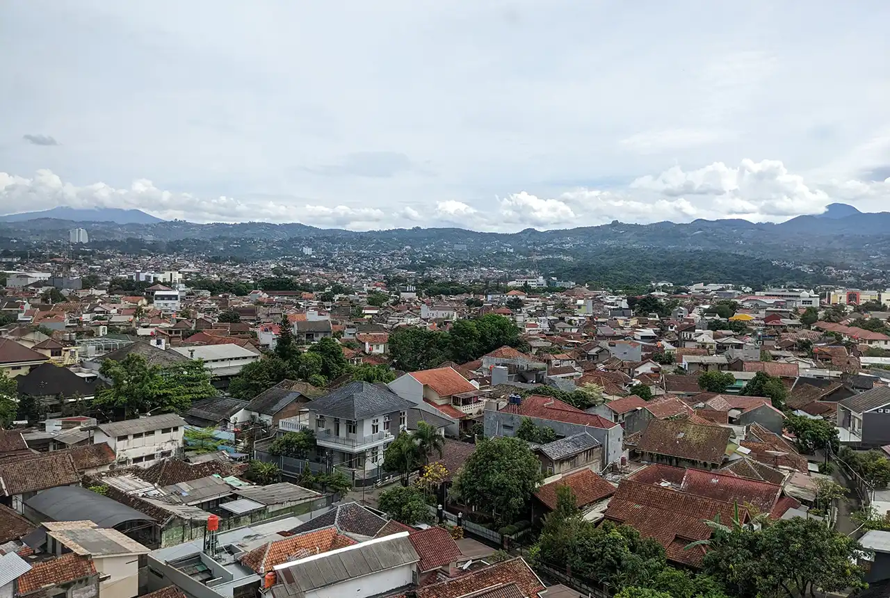
Nearly three million people in Indonesia’s second city could be affected by an earthquake
17/07/2024
BGS-led research reveals the number of people in the Bandung metropolitan region who could be exposed to a major earthquake.
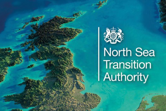
National Hydrocarbons Data Archive files now accessible through the National Data Repository
15/07/2024
Offshore well and survey information held within BGS’s archive have now been transferred to the North Sea Transition Authority’s National Data Repository to enable greater access.
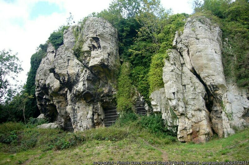
Creswell Crags Museum collections offer insight into the past and future of wolves
12/07/2024
Bones found at the site are helping scientists to understand the diet of wolves and how they differ over time.
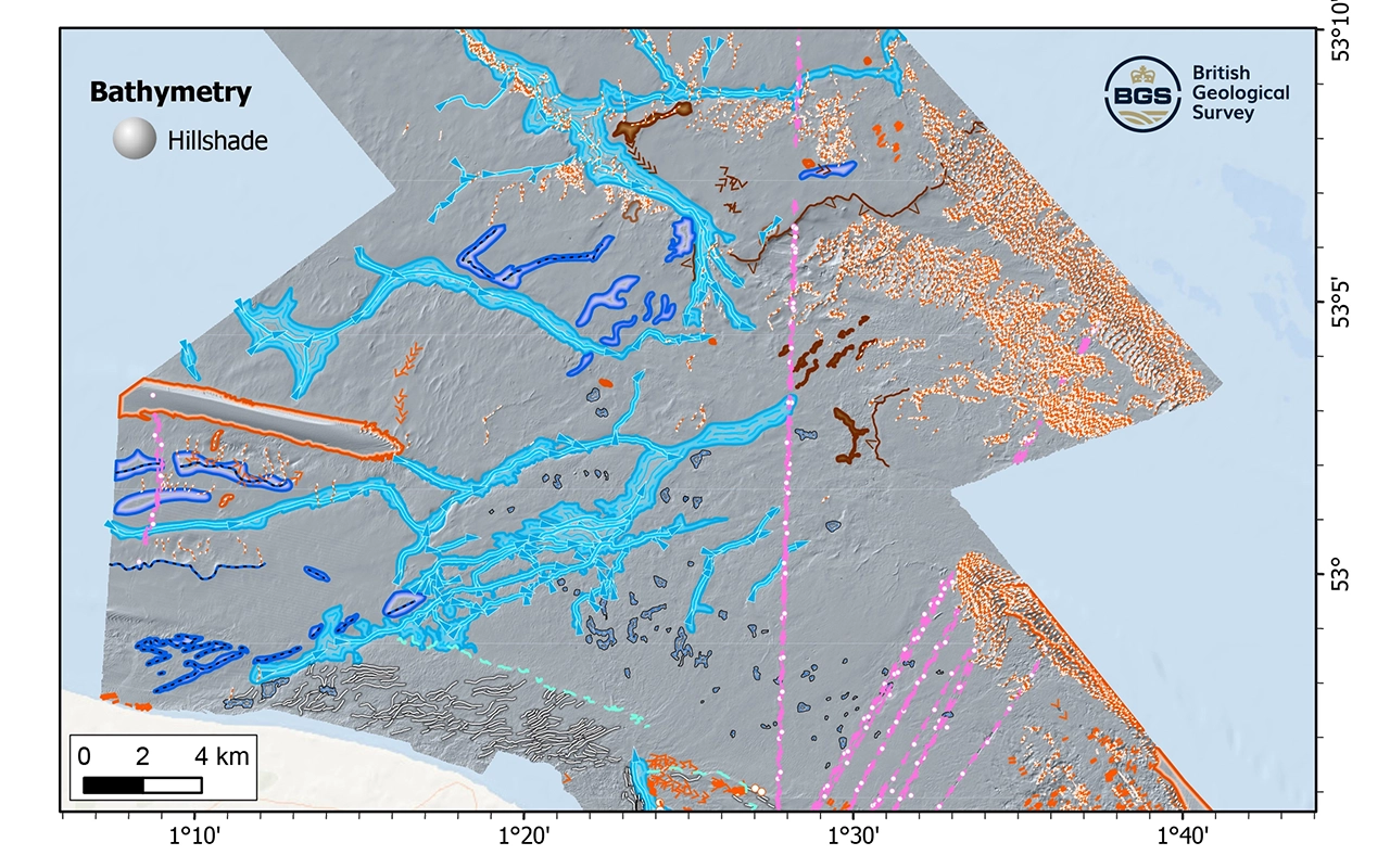
New research reveals the secrets of the seabed off the East Anglian coast
11/07/2024
New geological map will help in the hunt for new renewable energy opportunities whilst protecting delicate marine ecosystems.
Update released for BGS open-source database software, ETL Helper
09/07/2024
The software tool helps simplify the process of data transfer into and out of databases.
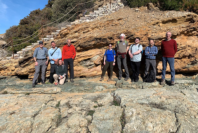
The heat beneath our feet: BGS field visit to Tuscan geothermal systems
05/07/2024
BGS visits the active and fossilised geothermal systems of southern Tuscany, Italy.