Latest

Suite of ten new soil reference materials released
02/01/2026
BGS has a longstanding track record of producing high-quality reference materials and has released ten new soil reference materials.

Perth and Kinross tops the UK’s earthquake activity charts for 2025
29/12/2025
Seismologists at BGS have published data on the number of seismic events over the past 12 months with over 300 earthquakes recorded.

Hole-y c*@p! How bat excrement is sculpting Borneo’s hidden caves
23/12/2025
BGS researchers have delved into Borneo’s underworld to learn more about how guano deposited by bats and cave-dwelling birds is shaping the subsurface.
Explore more news
Browse all news and events by category
UK legacy geothermal catalogue released in digital format for the first time
18/04/2024
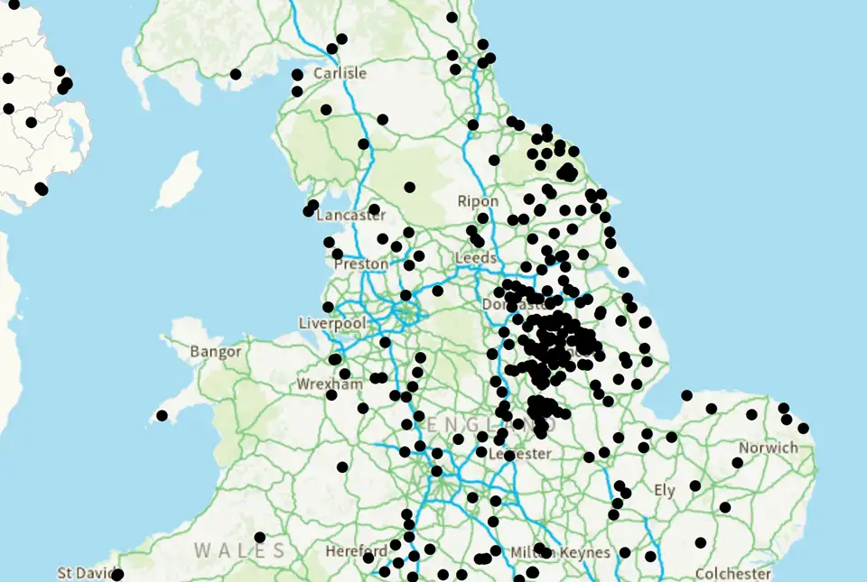
BGS has released the first digital version of the UK legacy geothermal catalogue of subsurface temperature measurements, rock thermal conductivity measurements and heat flow calculations.

New research supports conservation of fallow deer across Europe
16/04/2024
New research has combined zooarchaeology and ancient and modern biomolecular datasets to reveal a new understanding of the history and projections of fallow deer.

BGS signs memorandum of understanding with Serviço Geológico do Brasil
10/04/2024
The partnership will advance the two organisations’ shared interests in mineral research and geoscience to help benefit society.
World Mineral Production 2018 to 2022 is now available
09/04/2024
The latest edition of World Mineral Production has been released.
New underground observatory open for research
09/04/2024
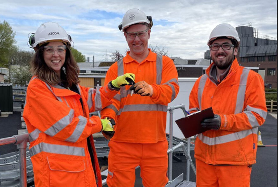
Construction has been completed on the Cheshire Observatory and the facility is now open for research activities.
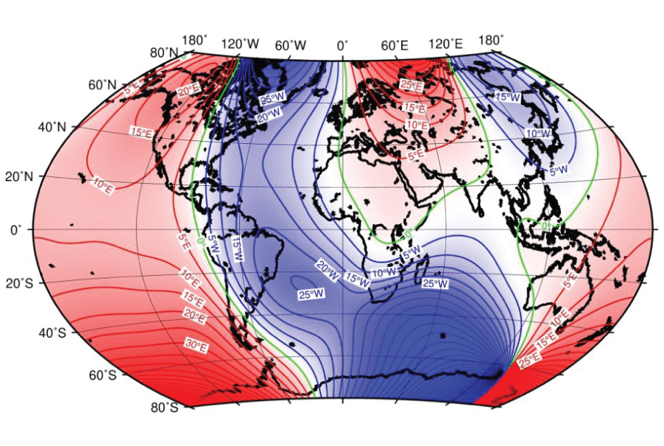
BGS leads update to maps of the Earth’s magnetic field
04/04/2024
The International Geomagnetic Reference Field, used for navigation on mobile phones and in space, is updated every five years.

UK bidding to host the International Geological Congress 2028
18/03/2024
BGS has partnered with the Geological Society of London and the Scottish Geology Trust to develop a bid to host the 38th International Geological Congress in Glasgow in 2028.
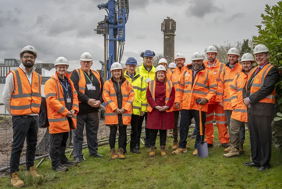
Local MP helps BGS launch a ‘living laboratory’
05/03/2024
BGS is implementing a low-carbon heating system to help meet its net zero targets and provide data to the public.


