Latest

New NERC-funded project empowers young people to engage with environmental science
23/07/2026
BGS is part of a new, collaborative project, funded through NERC’s ‘Opening up the environment’ programme, helping the environmental research community become more accessible.

Delving deep into mountains for future water security
16/07/2026
A BGS-led project is using new water-tracing investigation methods, geophysics and modelling to understand how water moves from mountains to the lowlands, helping to improve water security for billions of people.


Building Europe’s geological future
20/07/2026
BGS scientists are contributing to a continent-wide initiative that is strengthening collaboration across borders to tackle shared subsurface challenges and unlock new opportunities.
Explore more news
Browse all news and events by category
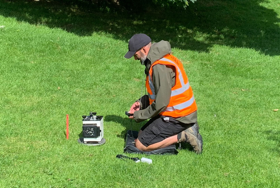
New research hub announced as part of £160 million investment
08/10/2024
Focusing on quantum sensing, imaging and timing, the hub will be launched at the end of this year as part of an investment announced by the Science Secretary.
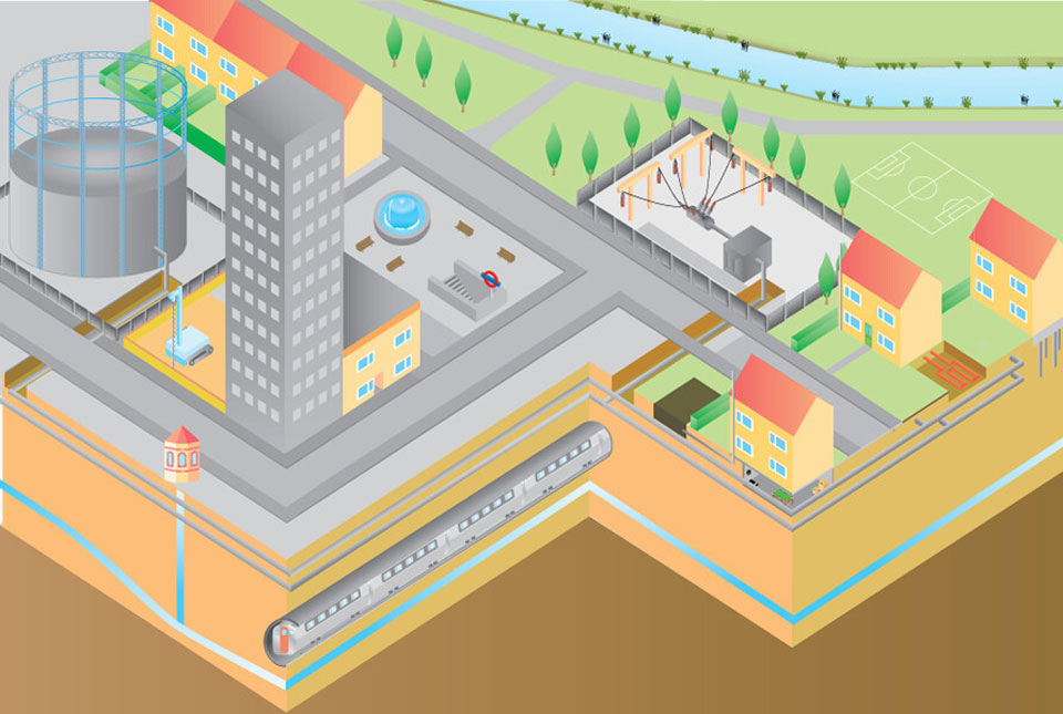
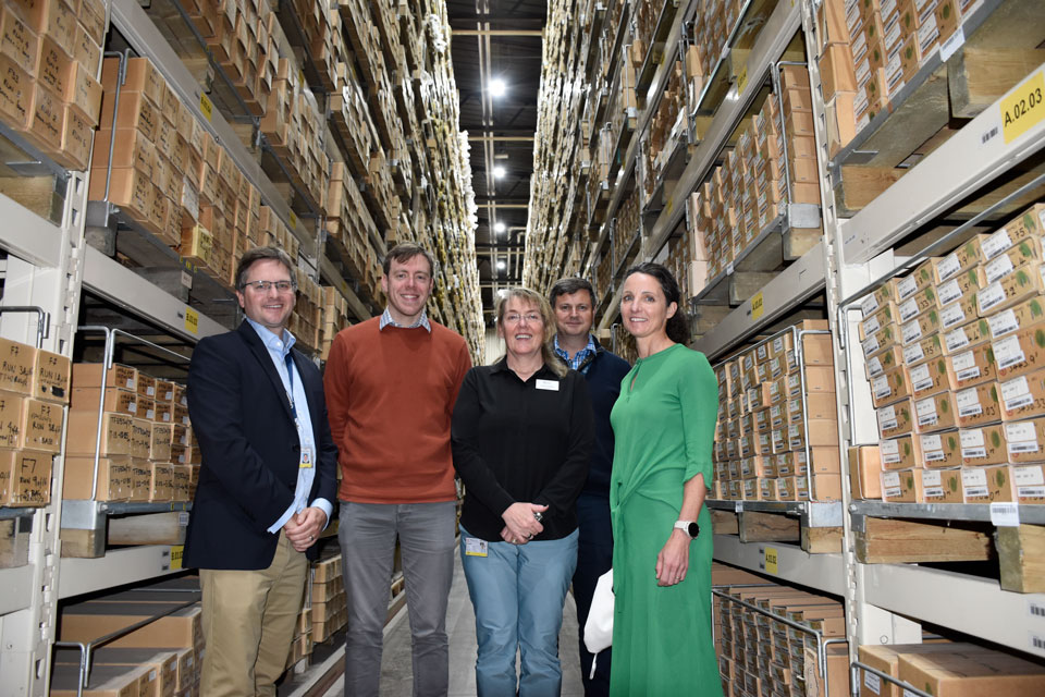
New community launched to support effective management of the subsurface
03/10/2024
The initiative aims to increase knowledge exchange on subsurface issues between interested parties involved in subsurface policy and planning.
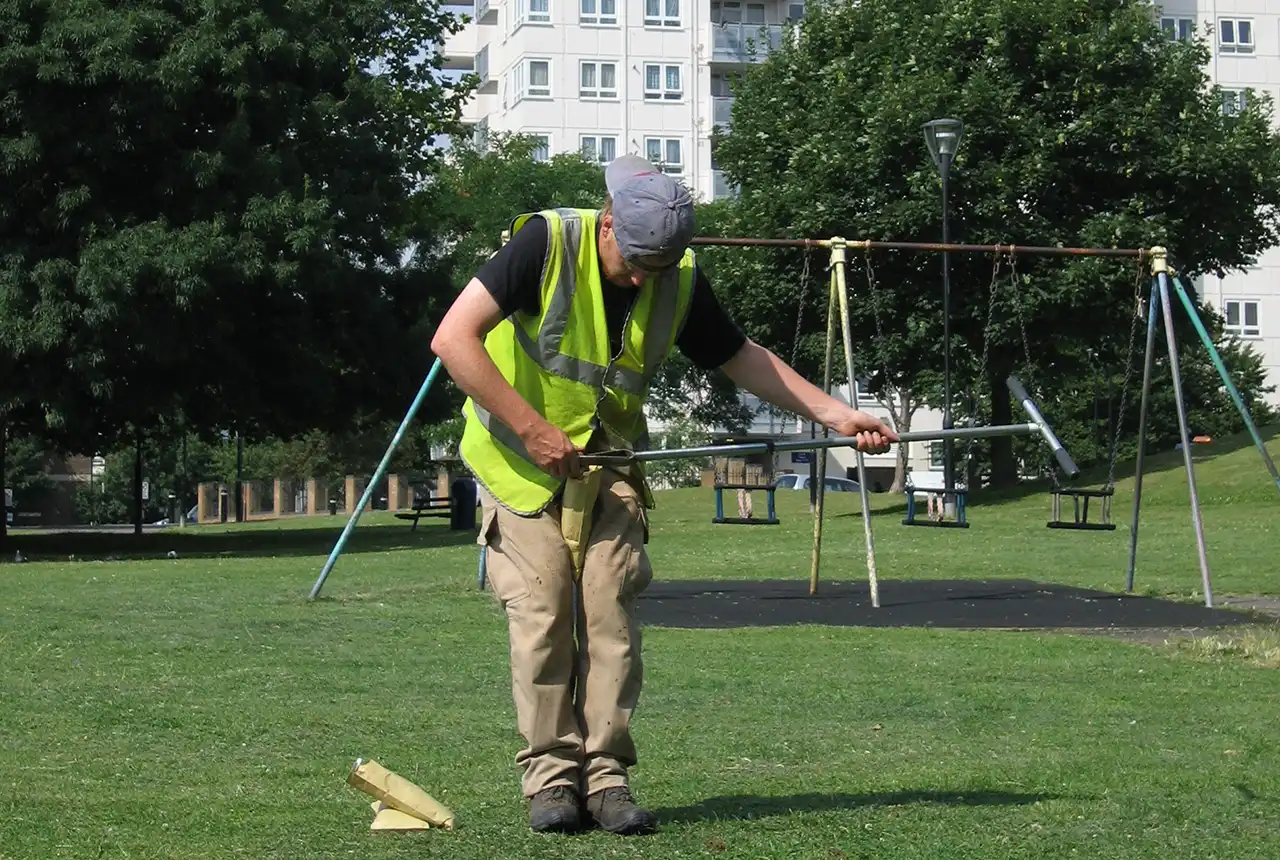
Forty years and counting: new topsoil data provides most extensive snapshot of environmental pollution effects
01/10/2024
Scientists have uncovered clear signs of the impact environmental pollution is having across the country’s soil.
BGS joins new initiative supporting technical career paths
23/09/2024
A new action group has been formed to drive positive change for technical careers in the higher education and research sectors.
Local MP checks in on development of new geothermal ‘living laboratory’ in Nottinghamshire
19/09/2024
BGS has reached the halfway mark on its ambitious ground-source heat pump project at its headquarters in Keyworth, Nottinghamshire.
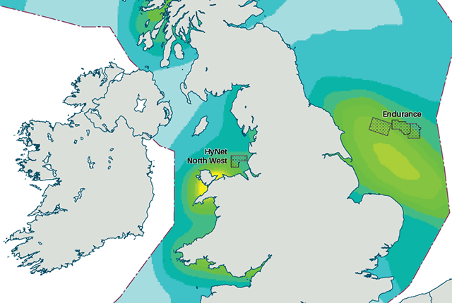
New hazard maps set to help safeguard UK offshore energy industry
12/09/2024
Essential geological model detailing seismic hazard published as the pursuit of new renewable energy infrastructure intensifies.
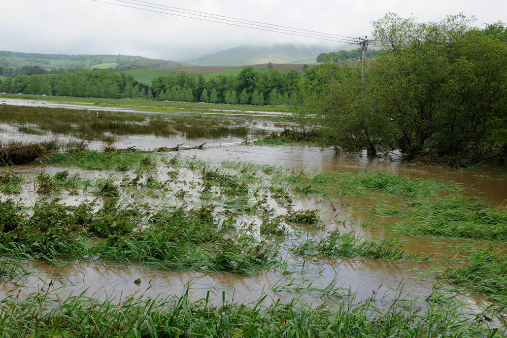
New £38 million project to reduce the impact of floods and droughts
02/09/2024
BGS will take a leading role in efforts to better predict the location and effects of extreme weather events.

New appointments to BGS Science Advisory Committee
29/08/2024
The appointments mark the latest step in the ongoing delivery of BGS’s essential geological expertise.