Latest

New NERC-funded project empowers young people to engage with environmental science
23/07/2026
BGS is part of a new, collaborative project, funded through NERC’s ‘Opening up the environment’ programme, helping the environmental research community become more accessible.

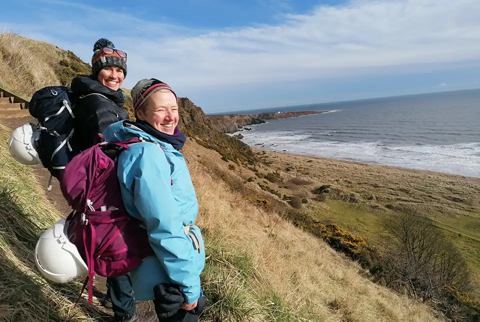
Delving deep into mountains for future water security
16/07/2026
A BGS-led project is using new water-tracing investigation methods, geophysics and modelling to understand how water moves from mountains to the lowlands, helping to improve water security for billions of people.


Building Europe’s geological future
20/07/2026
BGS scientists are contributing to a continent-wide initiative that is strengthening collaboration across borders to tackle shared subsurface challenges and unlock new opportunities.
Explore more news
Browse all news and events by category

Quake it off: Taylor Swift concerts shake Edinburgh
13/06/2024
Seismometers around Edinburgh were triggered by the rapturous Murrayfield crowds over the weekend.
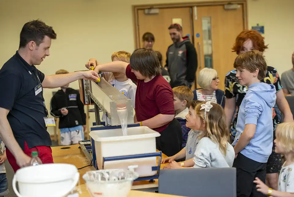
BGS opens its doors to visitors at its Open Day in Keyworth
12/06/2024
BGS hosted its bi-annual Open Day on 8 June 2024, welcoming more than 1000 visitors to its headquarters in Keyworth, Nottinghamshire.
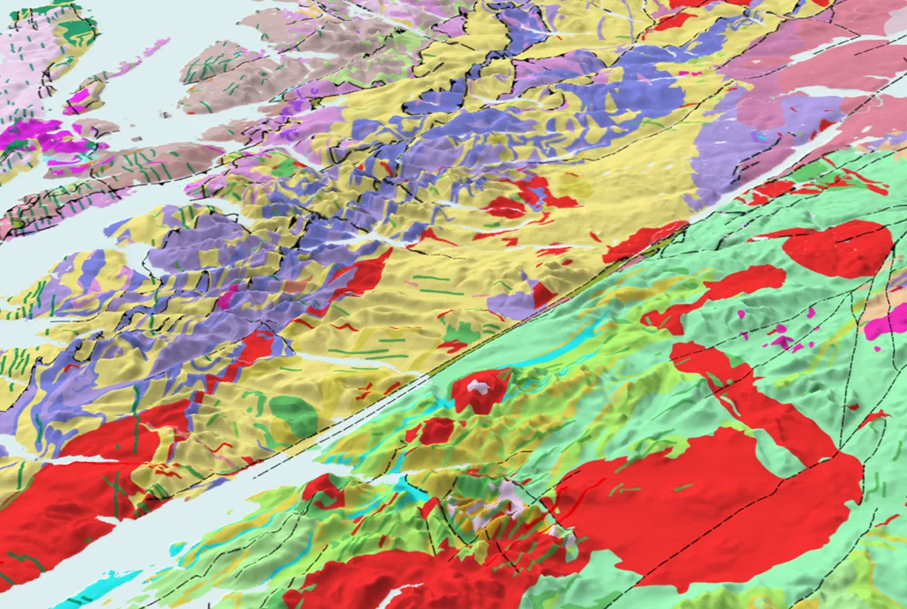
BGS to update geological maps of Strathmore
10/06/2024
A three-year project has begun to revise geological maps of Strathmore, which were last surveyed nearly 100 years ago.
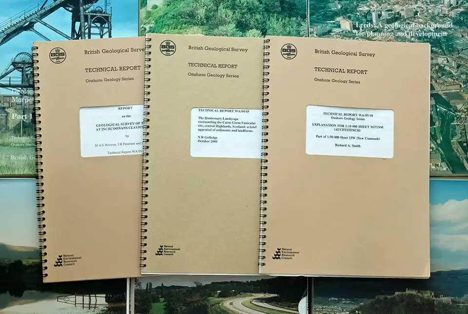
BGS’s National Geoscience Data Centre releases over 8000 technical reports
05/06/2024
The technical reports, covering the full spectrum of BGS activities and subjects, were produced between 1950 and 2000.
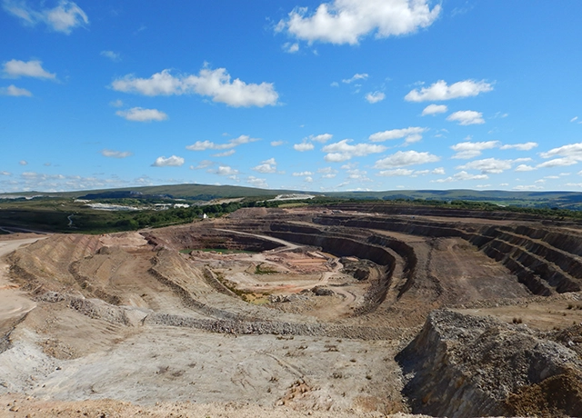
UK Minerals Yearbook 2023 now available to download
04/06/2024
The latest edition provides essential information about the production, consumption and trade of UK minerals up to 2022.
BGS announces collaboration with Ordnance Survey
29/05/2024
Ordnance Survey and BGS have teamed up to add a range of geological data products to the OS Data Hub, making it easier for users to access and use geospatial data.

2024 BGS summer placements scheme
27/05/2024
BGS is offering a six-week placement scheme for early-year students in a geography, earth science or environmental sciences degree.
Over 600 mineral exploration project reports now available through the UK Critical Minerals Intelligence Centre
17/05/2024
All 662 reports from the Mineral Exploration and Investigation Grants Act programme are now available on the Critical Minerals Intelligence Centre website.