Latest

New NERC-funded project empowers young people to engage with environmental science
23/07/2026
BGS is part of a new, collaborative project, funded through NERC’s ‘Opening up the environment’ programme, helping the environmental research community become more accessible.

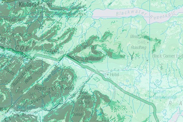
Delving deep into mountains for future water security
16/07/2026
A BGS-led project is using new water-tracing investigation methods, geophysics and modelling to understand how water moves from mountains to the lowlands, helping to improve water security for billions of people.


Building Europe’s geological future
20/07/2026
BGS scientists are contributing to a continent-wide initiative that is strengthening collaboration across borders to tackle shared subsurface challenges and unlock new opportunities.
Explore more news
Browse all news and events by category
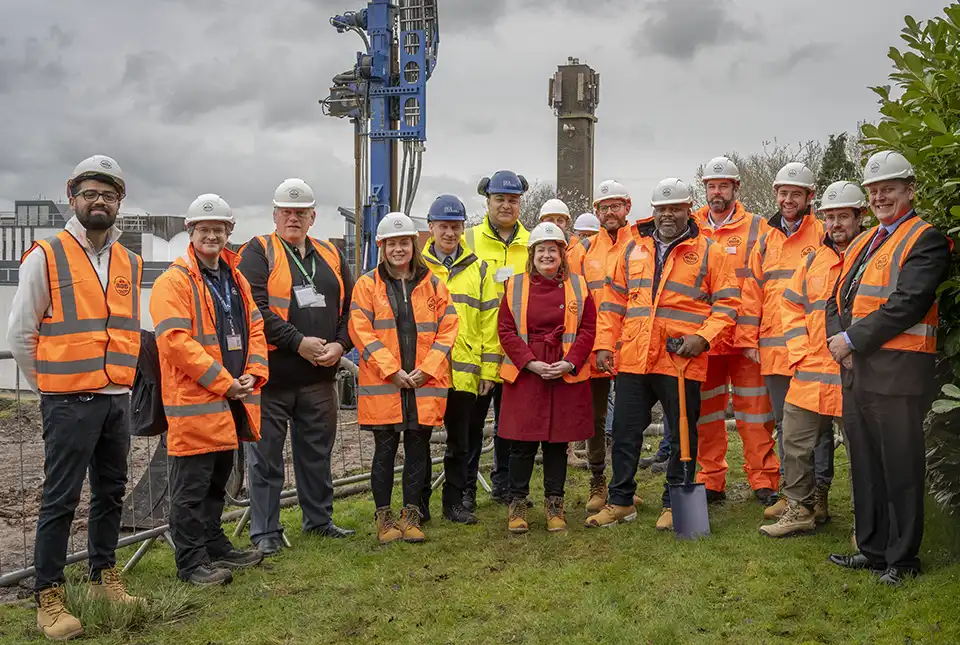
New underground observatory open for research
09/04/2024
Construction has been completed on the Cheshire Observatory and the facility is now open for research activities.
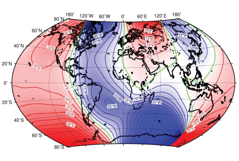
BGS leads update to maps of the Earth’s magnetic field
04/04/2024
The International Geomagnetic Reference Field, used for navigation on mobile phones and in space, is updated every five years.

UK bidding to host the International Geological Congress 2028
18/03/2024
BGS has partnered with the Geological Society of London and the Scottish Geology Trust to develop a bid to host the 38th International Geological Congress in Glasgow in 2028.
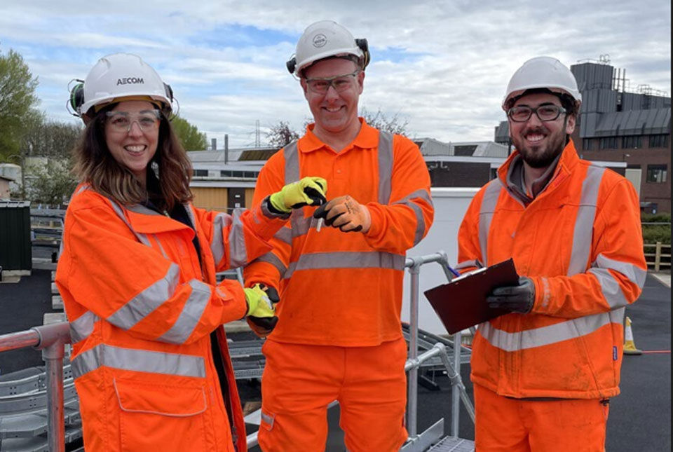
Local MP helps BGS launch a ‘living laboratory’
05/03/2024
BGS is implementing a low-carbon heating system to help meet its net zero targets and provide data to the public.
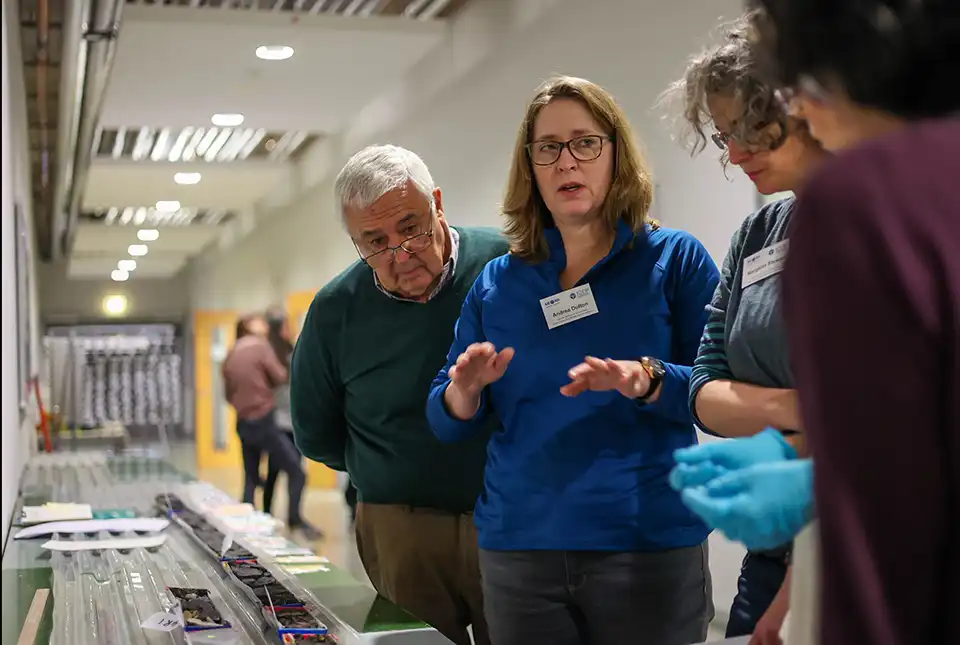
Scientists produce first record of environmental data off coast of Hawai’i
01/03/2024
An international team of researchers, including BGS geoscientists, have succeeded in acquiring a continuous record of environmental data using fossilised coral from Hawai’i.

BGS data product licence fees to rise
01/03/2024
New direct licence fees to be introduced from 1 April 2024.
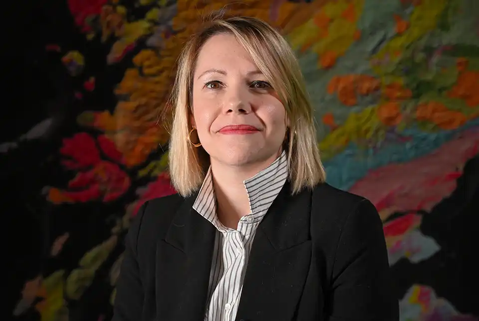
BGS seismologist named editor-in-chief of Geophysical Journal International
29/02/2024
Margarita Segou has been appointed as the editor-in-chief of one of the world’s leading, peer-reviewed research journals in solid-Earth geophysics.