Latest

New NERC-funded project empowers young people to engage with environmental science
23/07/2026
BGS is part of a new, collaborative project, funded through NERC’s ‘Opening up the environment’ programme, helping the environmental research community become more accessible.

Delving deep into mountains for future water security
16/07/2026
A BGS-led project is using new water-tracing investigation methods, geophysics and modelling to understand how water moves from mountains to the lowlands, helping to improve water security for billions of people.


Building Europe’s geological future
20/07/2026
BGS scientists are contributing to a continent-wide initiative that is strengthening collaboration across borders to tackle shared subsurface challenges and unlock new opportunities.
Explore more news
Browse all news and events by category

BGS to help deliver International Centre of Excellence on Sustainable Resource Management
27/02/2024
BGS has been announced as part of a consortium approved by the UN to deliver its International Centres of Excellence on Sustainable Resource Management.

BGS scientist announced as Scottish Government policy fellow
06/02/2024
BGS geohazard scientist Roxana Ciurean has been named amongst new policy fellows for the Scottish Government.
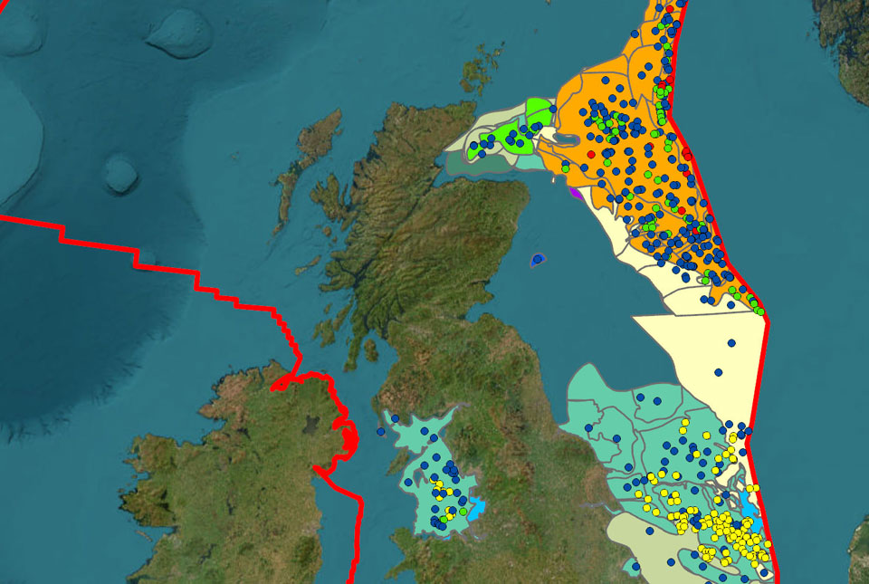
BGS adds more than 60 new carbon dioxide storage units to its national carbon dioxide storage database
30/01/2024
BGS has delivered its first major update of the national carbon dioxide storage database, CO2 Stored.
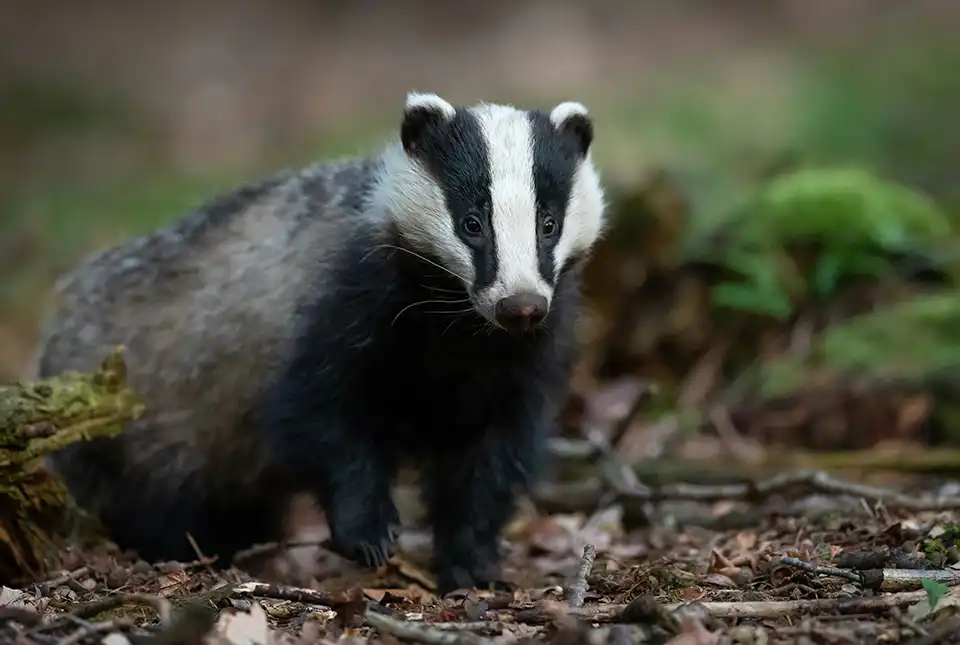
Burrow-detecting devices could protect flood defences
23/01/2024
BGS scientists have trialled a new way of detecting animal burrows in clay flood embankments.
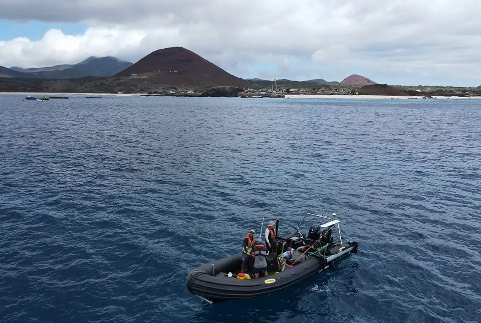
BGS completes first mapping expedition to Ascension Island
11/12/2023
BGS marine geoscientists travelled to Ascension Island to support its government with an ongoing, conservation-driven mapping programme.
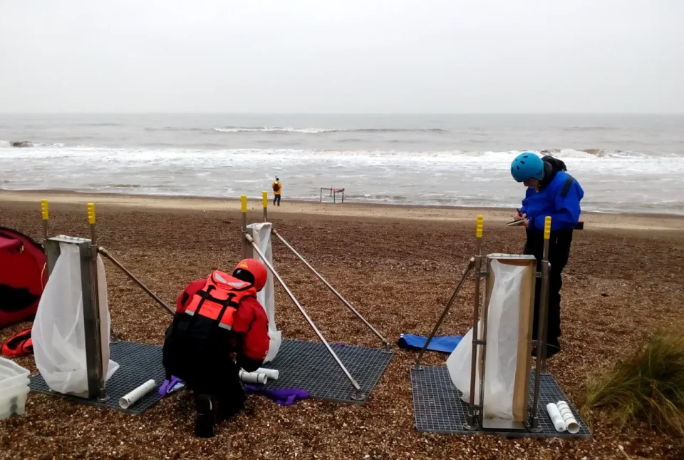
BGS to lead new research project on barrier systems to support more sustainable coastal management
06/12/2023
Scientists at BGS will lead a new four-year project that will enhance our understanding of gravel barrier systems across the coastlines of the UK.
BGS publication included in Environment Agency’s review of drought in the UK
05/12/2023
A BGS essay on groundwater and drought has been included in the Environment Agency’s review of the research and scientific understanding of drought.
BGS receives award at the World Landslide Forum 2023
30/11/2023
BGS's landslide team has been designated a World Centre of Excellence on landslide risk reduction by the International Consortium on Landslides.