Latest

New NERC-funded project empowers young people to engage with environmental science
23/07/2026
BGS is part of a new, collaborative project, funded through NERC’s ‘Opening up the environment’ programme, helping the environmental research community become more accessible.

Delving deep into mountains for future water security
16/07/2026
A BGS-led project is using new water-tracing investigation methods, geophysics and modelling to understand how water moves from mountains to the lowlands, helping to improve water security for billions of people.


Building Europe’s geological future
20/07/2026
BGS scientists are contributing to a continent-wide initiative that is strengthening collaboration across borders to tackle shared subsurface challenges and unlock new opportunities.
Explore more news
Browse all news and events by category
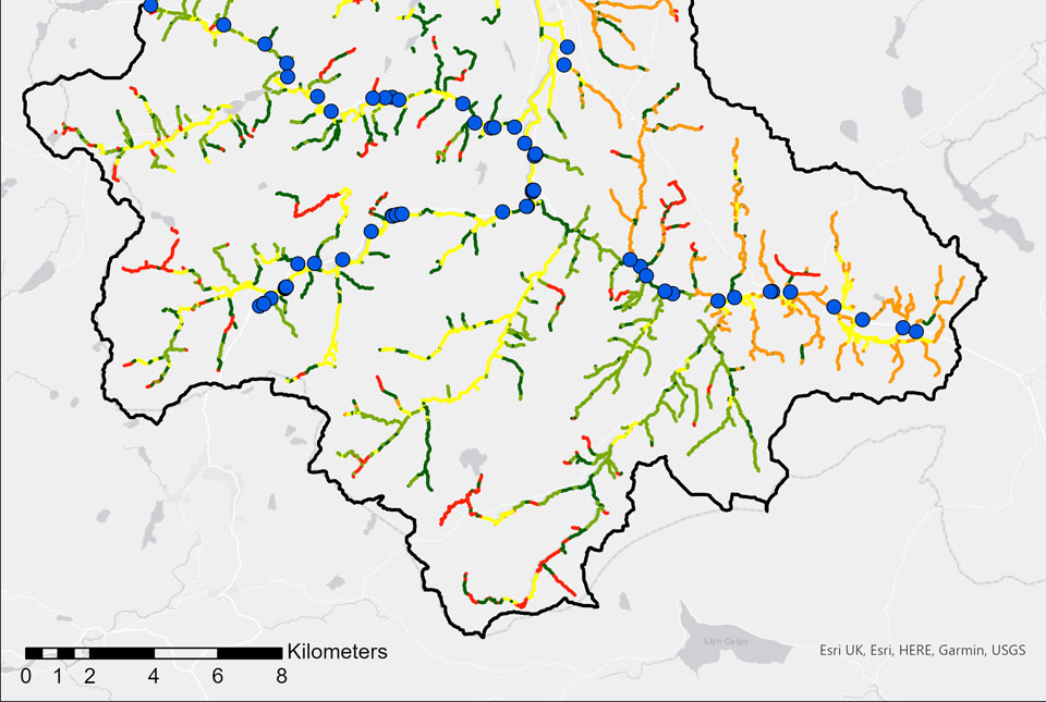
BGS GeoScour: bridging the river erosion data gap
31/08/2022
The geological properties of bedrock and superficial deposits that make up riverbeds and banks are fundamental controls on the susceptibility of any given river reach to scouring.
Citizen science: become part of a real-time Global Landslide Detector
29/08/2022
BGS and partners are trialling a new social media tool that detects worldwide landslides in real time.
Groundwater’s role in the current drought
15/08/2022
Groundwater can play a vital part in keeping the UK’s water supply flowing, but we need to ensure that we monitor levels and rates of extraction during dry spells.
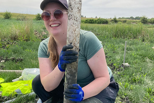
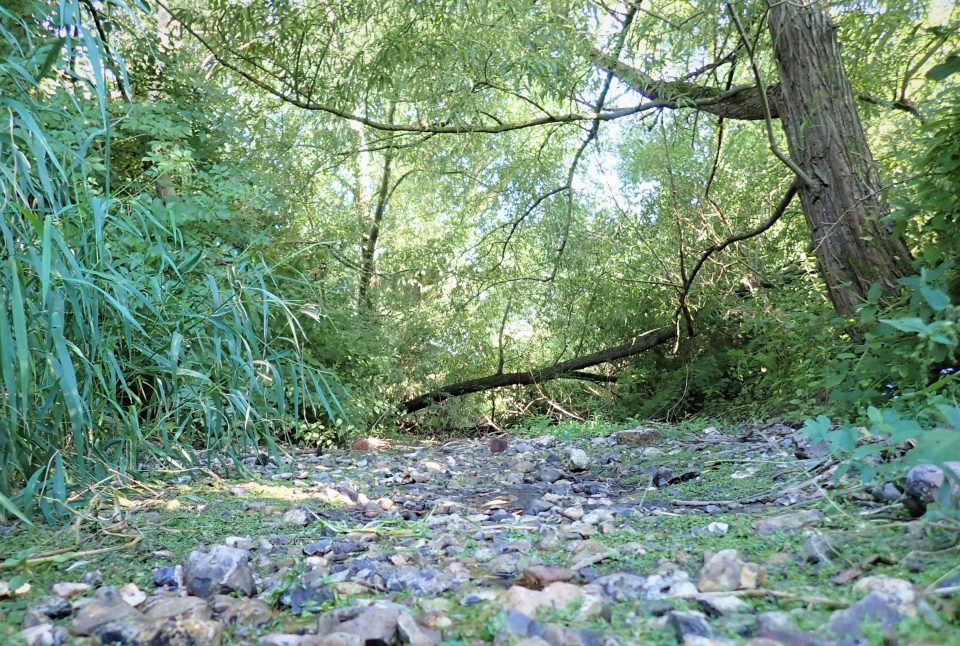
Sampling salt marsh sediments: a Thames microplastics fieldtrip
15/08/2022
Megan Trusler gives an overview of her PhD project, which studies the role salt marshes play in the accumulation and transport of microplastics.
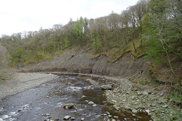
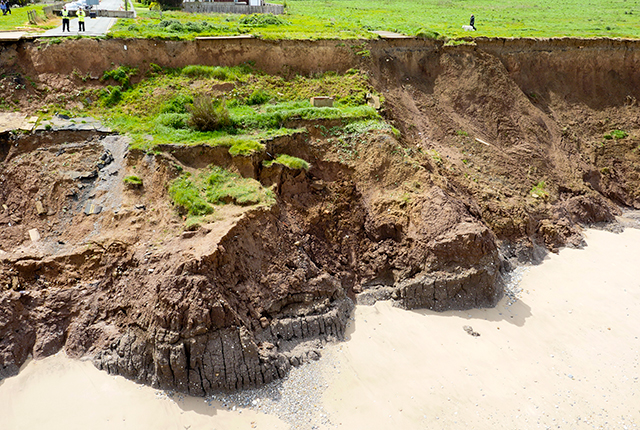
River erosion: the forgotten hazard of flooding
03/08/2022
Impacts from flood events can be widespread, long-lasting and extremely costly. The UK Government and environmental protection agencies continue to invest heavily in mitigation measures, as well as trying to predict which areas are most at risk.
Observing magnetic fields: 100 years of data
02/08/2022
Marking the centenary of the Lerwick Geophysical Observatory.
Zambia: the copper mining powerhouse looking towards a safer, low-carbon future
25/07/2022
BGS scientists Clive Mitchell (industrial minerals geologist) and Elliott Hamilton (environmental chemist) report on their recent visit to the Copperbelt Province in Zambia.
Training in stable isotope analysis as a PhD student from Croatia
20/07/2022
Recently, Ivona Ivkić Filipović visited BGS to undertake a placement at the Stable Isotope Facility. Here, she tells us a little about her experience and how it will contribute to her PhD research.