BGS and the Geological Survey of Northern Ireland (GSNI) have carried out two major projects — G-BASE and TellusNI, respectively — to examine the chemical composition of stream sediment, stream water and soil samples. In addition, the BGS has carried out a systematic survey of the chemical composition of groundwater across Great Britain’s main aquifers. Together these projects and the resulting data products provide geochemical baseline information for the UK environment to support sustainable resource management and development and UK environmental policy.
Applications of the data are diverse and include:
- mapping environmental change
- support for environmental policymakers and regulators
- management and remediation of land contamination, waste and polluted waters
- environmental protection and sustainability of natural capital assets (land; water; agriculture; energy; ecosystem resources)
- underpinning scientific studies into possible environmental impacts on human and ecosystem health
- better understanding of the UK geological environment
- exploration for critical minerals
Our geochemical baseline research
Geochemical Baseline Survey of the Environment: G-BASE
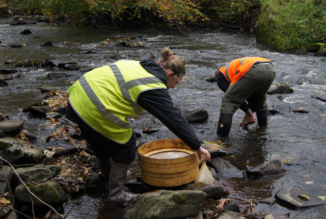
G-BASE is a major BGS project comprising a multimedia (stream sediment, stream water and soil), high-resolution baseline geochemical survey of Great Britain, providing national and international information and expertise in geochemical mapping. As a consequence, G-BASE is a focal point for geochemical studies within the BGS.
Baseline geochemical mapping of Northern Ireland: TellusNI
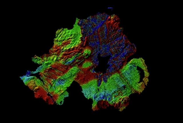
The TellusNI geochemical survey is the equivalent of the G-BASE project in Northern Ireland. Stream sediment, stream water and soil samples were collected, adopting the established G-BASE standard, between 1994 and 2006. Further information on the TellusNI geochemical surveys can also be found at the Tellus minisite.
Groundwater chemistry baselines
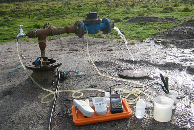
We have also studied the baseline chemistry of groundwaters in British aquifers, including UK baseline groundwater quality and baseline reports from England and Wales and Scotland.
Our data products
UK: Topsoil geochemistry
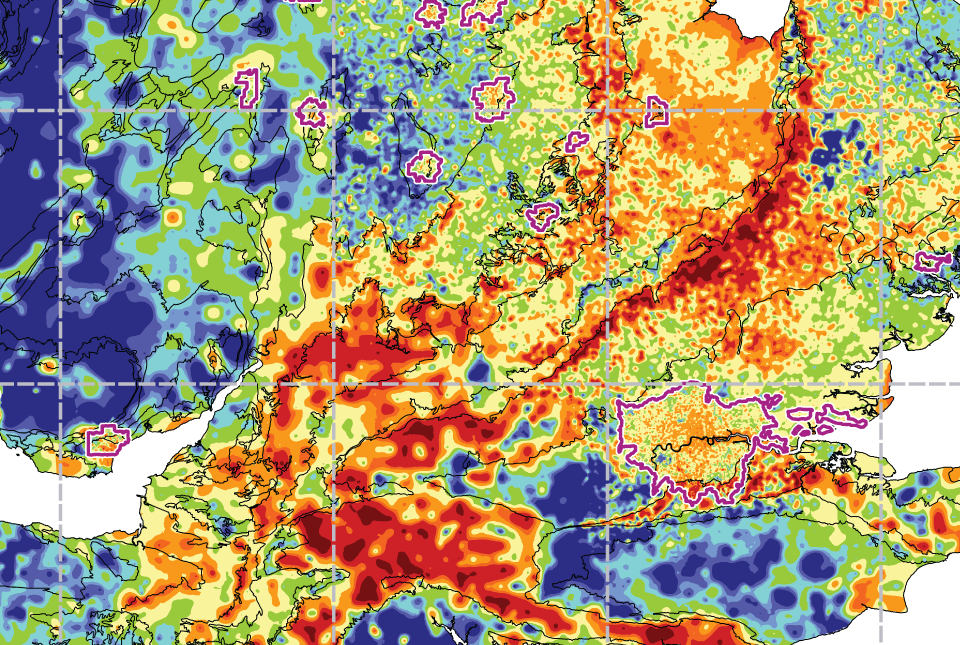
The UK Compiled Topsoil Dataset (UKTS), is the most extensive topsoil geochemistry dataset for the UK.

UK: Stream sediment geochemistry
The UK stream sediment geochemistry maps present data compiled from the G-BASE and TellusNI geochemical projects.
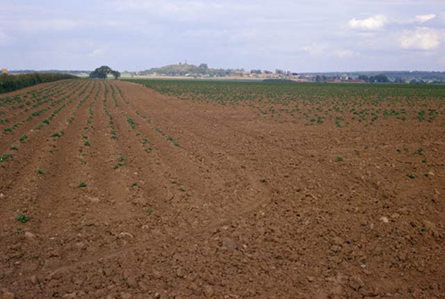
Soil chemistry for environmental assessments
This dataset contains estimated ambient background concentrations of potentially harmful elements for rural and selected urban topsoils.
You may also be interested in

Applied geochemistry
Since the 1960s, the BGS has amassed considerable geochemical data holdings and developed significant expertise in applied geochemistry.
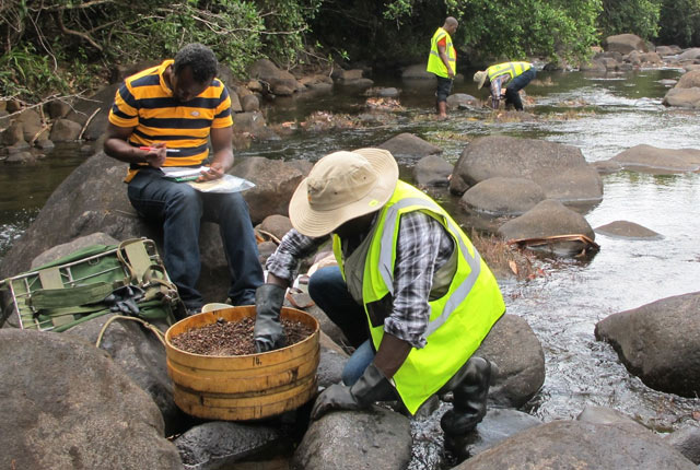
International geochemistry
BGS has had a long history of collaborative international geochemical projects involving regional baseline mapping and health and environment studies.

