Datasets
These are our most popular and influential datasets. For a comprehensive list of all BGS data, please visit the BGS Metadata Catalogue
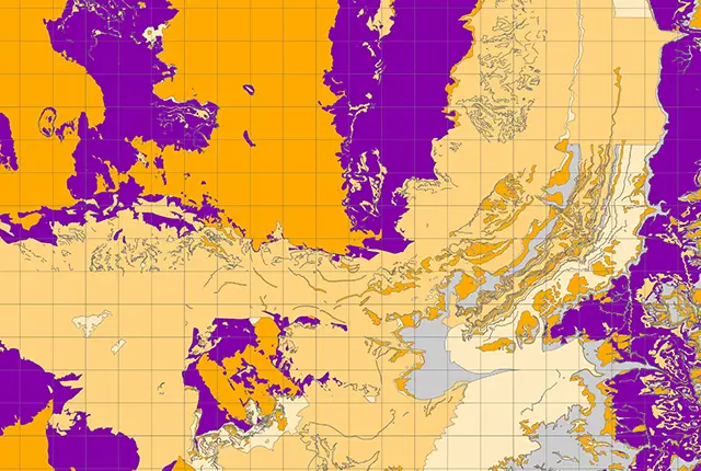
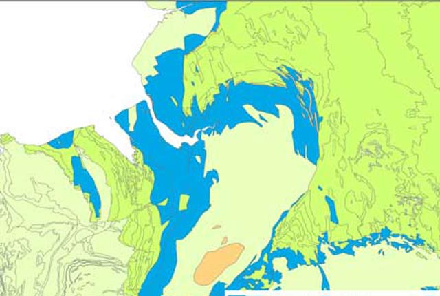
The aquifer designation dataset reflects the importance of aquifers in England and Wales as a resource and their role in supporting surface water flows and wetland ecosystems.
- Open / Premium
- 1:50 000
- England and Wales

 Data Preview
The BGS GeoScour datasets provide a generalised overview of the natural characteristics and properties of catchment and riverine environments for the assessment of river scour in Great Britain.
- Open / Premium
-
Tier 1: 1:625 000
Tier 2: 1:250 000
Tier 3: 1:50 000 - Great Britain
Data Preview
 Data Preview
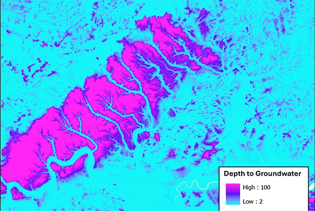
The BGS depth to groundwater product is a national scale dataset of probable maximum depth to the phreatic water table.
- Premium
- 1:50 000
- Great Britain
Data Preview
 Data Preview
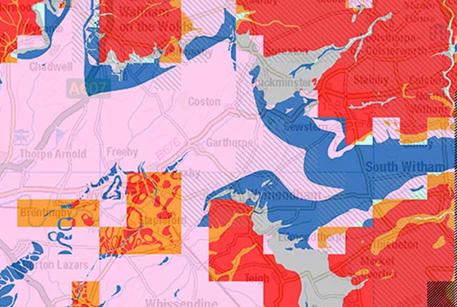
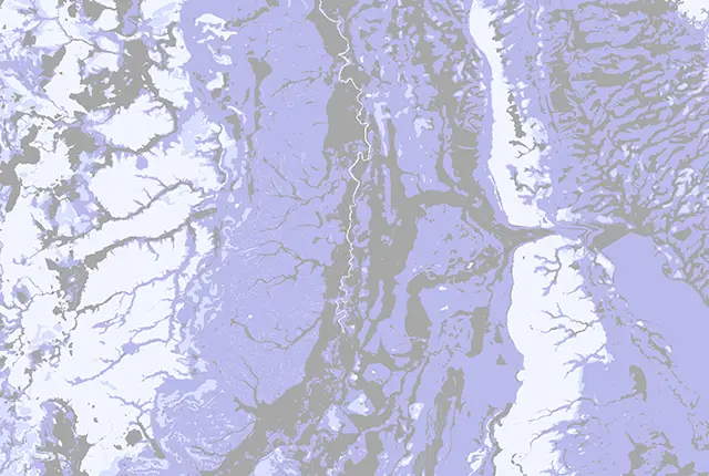
Our groundwater vulnerability maps provide an assessment of the vulnerability of groundwater in overlying superficial rocks and those that comprise the underlying bedrock.
- Premium
- 1:50 000
- England and Wales
Data Preview
 Data Preview
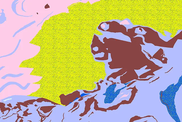
The BGS has produced a suite of hydrogeological maps of Scotland. The suite includes layers with groundwater vulnerability and aquifer productivity data.
- Premium
- 1:100 000
- Scotland
Data Preview
 API Available
The hydrogeological map indicates aquifer potential in generalised term.
- Open
- 1:625 000
- UK
The BGS Infiltration SuDS map dataset is suitable for those involved in the design of sustainable drainage systems and approving SuDS planning applications.
- Premium
- 1:50 000
- Great Britain
 Data Preview
Permeability data is often used in studies of groundwater. Our permeability information is based on BGS Geology 50K data.
- Premium
- 1:50 000
- Great Britain
Data Preview
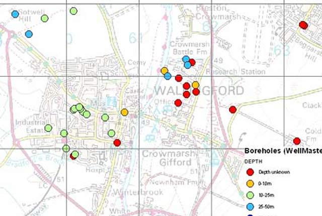
Our digital version of the water well archive. Index level data is available for all water boreholes known to the BGS.
- Open / Premium
- Great Britain
As a result of our annual price review BGS will apply, in most cases, a 3 percent increase* to our direct licence fees for our data products from 1st April 2026. This means that any direct licence issued or renewed on or after 1 April 2026 will reflect this increased price. Existing data licensees will not be affected until such time as their licence is next due for renewal, after 1 April 2026. BGS undertakes annual price reviews and will communicate any future licence fee changes (from 2027) as appropriate.
If you have any queries regarding this matter, please contact the IPR digital team (iprdigital@bgs.ac.uk).
* Due to the specific pricing of individual datasets please note not all price changes will equate exactly to 3%.