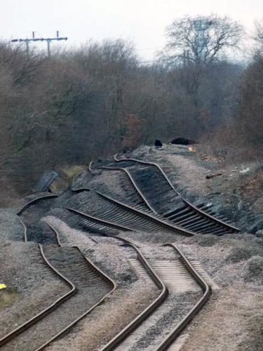
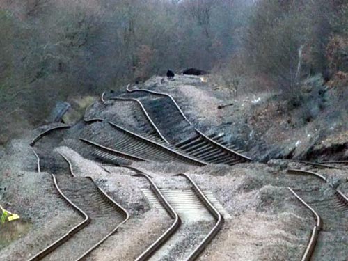
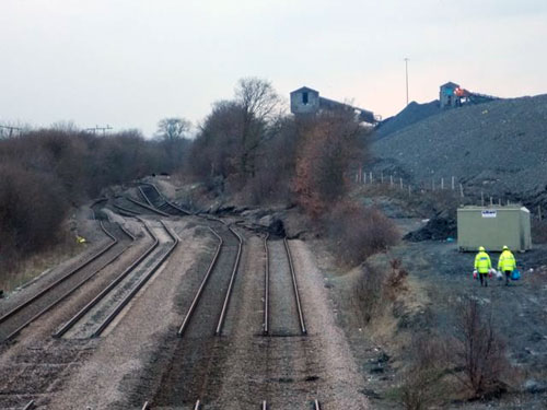
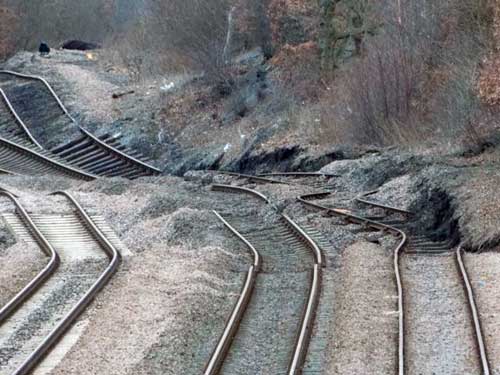
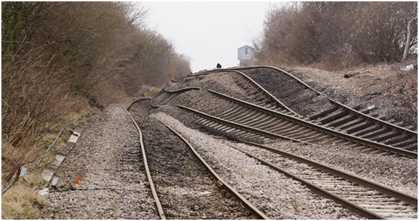
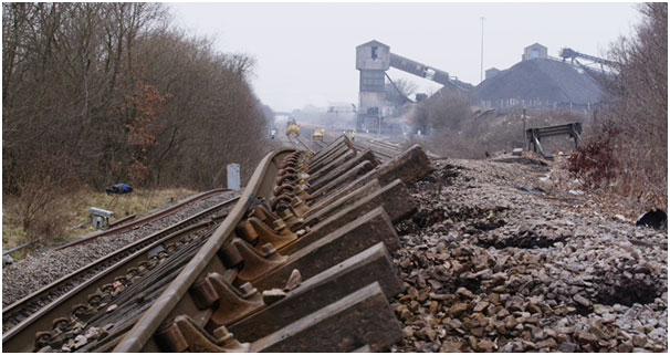
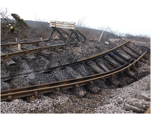
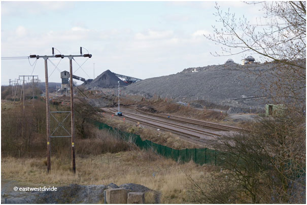
On 12 February 2013, the BGS Landslide Response Team received reports of a landslide affecting the railway near Hatfield and Stainforth station, near Doncaster in South Yorkshire.
The landslide occurred in a spoil heap at Hatfield Main Colliery and distorted a large section of train line along the Doncaster to Goole and Doncaster to Scunthorpe lines. Train services in the region were significantly affected and this section of the line was closed until July 2013.
Media reports
The landslide was first reported in the media on 12 February, when NetworkRail issued a statement:
We have been carefully monitoring the track near Hatfield colliery at Stainforth since Saturday afternoon (9 Feb) when a train driver reported a ‘rough ride’.
Unfortunately conditions have deteriorated and it is no longer possible to run services through the area. We anticipate that there will be disruption to services between Doncaster and Goole and Doncaster and Scunthorpe for some time.
Since then, the media reported that the landslide continued movement and it was likely that that would the case for some time.
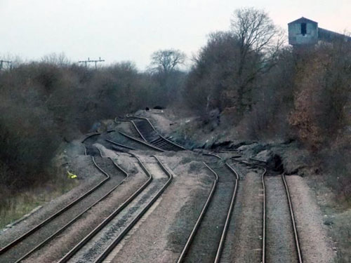
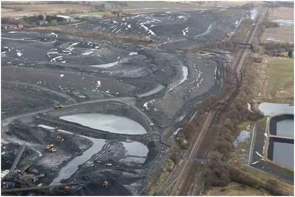
Hatfield Colliery landslide and the railway lines, 23 February 2013. © NetworkRail.
Geology
The geology underlying the spoil heap is classed as alluvium, which is usually soft to firm, unconsolidated, compressible silty clay with layers of sand and gravel deposited on river terraces and lacial lake sands from the Devensian Hemingbrough Glaciolacustrine Formation. Local thickness of these deposits varies between 5 and 10 m. These deposits rest on bedrock of the early Triassic Chester Formation (formerly known as the Nottingham Castle Sandstone Formation).
History and land use changes
Current land use includes large areas of artificial ground in the form of colliery spoil. The sequence of Ordnance Survey (OS) historical maps (1854, 1893, 1907, 1933, 1948 and present land use) shows that previous land use was dominated by agriculture before the 1930s. The historical OS maps also provide a further indication of the nature of the alluvial deposits.
The 1933 OS map shows an increase in industrial activity, including the construction of extensive railway sidings.
The existence of land drains and borrow pits near a tile kiln just south of the site suggest locally high clay contents in these alluvial deposits.


Hatfield Colliery landslide February 2013: changing land use around Stainforth 1854–2012 maps. BGS © UKRI.
Landslide mechanisms
There is a close relationship between rainfall and the occurrence of landslides. Smaller landslides often occur during or shortly after periods of heavy rainfall. Large landslides often require much more time and successions of rainfall events before slopes become unstable, as water can take considerable time to percolate to greater depths.
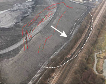
12 February 2013: interpretation of the landslide morphology in its early stages. © NetworkRail.
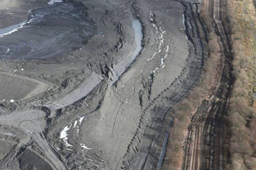
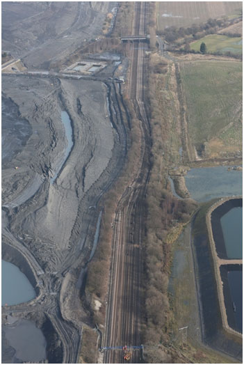
14 February 2013. © NetworkRail.
The morphology of the slope strongly suggests a rotational mode of failure. Along the crown of the slope extensive tension cracks were observed that gradually grew in size as the landslide progressed its downward movement. A slope like this can be viewed as a large pendulum that slowly moves into a more stable position. However, this can take quite some time, particularly if, as at Hatfield, there is still considerable surface water visible at the top of the slope. This water will slowly seep through the tension cracks (shown as red dashed lines) into the landslide and continue to facilitate movement.
The white arrow indicates the main direction of movement of the landslide. The position of the railway line is at the ‘toe’ of the landslide (white dashed line) — the exit point of the main shear surface is right in the centre of the railway, explaining its uplift. Continuing movement of the landslide caused further displacement of the track.
The Rail Accident Investigation Branch (RAID) included the Hatfield Colliery landslide in its report Class investigation into landslips (Report 08/2014).
Gallery
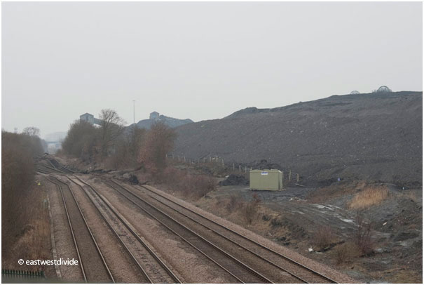
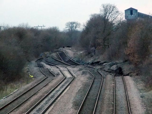
Photo taken on 18 February 2013 from the bridleway bridge to the north-east of the site (now only accessible from the south side). © eastwestdivide.
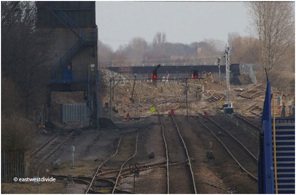
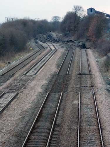
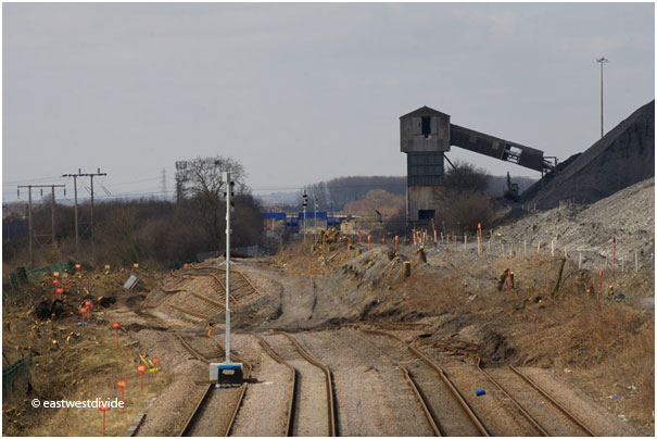
Photo taken on 1 March 2013 from the station to the south-west of the site, looking north-east towards the landslide toe. © eastwestdivide.
New ‘slope failure’ category
BGS has added a ‘Slope failure’ category to its landslide type in the National Landslide Database. This allows us to capture the recent increase in landslides occurring on artificial ground, something that is clearly of interest to the public and infrastructure asset managers.
You may also be interested in
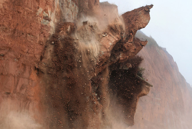
Landslide case studies
The landslides team at the BGS has studied numerous landslides. This work informs our geological maps, memoirs and sheet explanations and provides data for our National Landslide Database, which underpins much of our research.
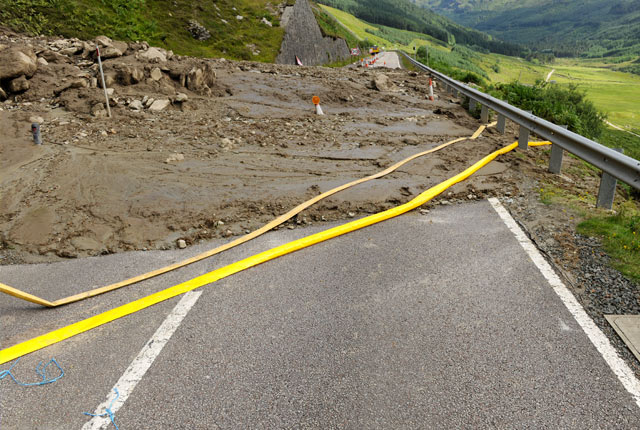
Understanding landslides
What is a landslide? Why do landslides happen? How to classify a landslide. Landslides in the UK and around the world.
How to classify a landslide
Landslides are classified by their type of movement. The four main types of movement are falls, topples, slides and flows.
Landslides in the UK and around the world
Landslides in the UK, around the world and under the sea.


