

Climate change and human exploitation linked to historic decline in Atlantic salmon
New research reveals that both a change in climate and human exploitation played a role in a decline in North Atlantic salmon populations.
08/06/2022 By BGS Press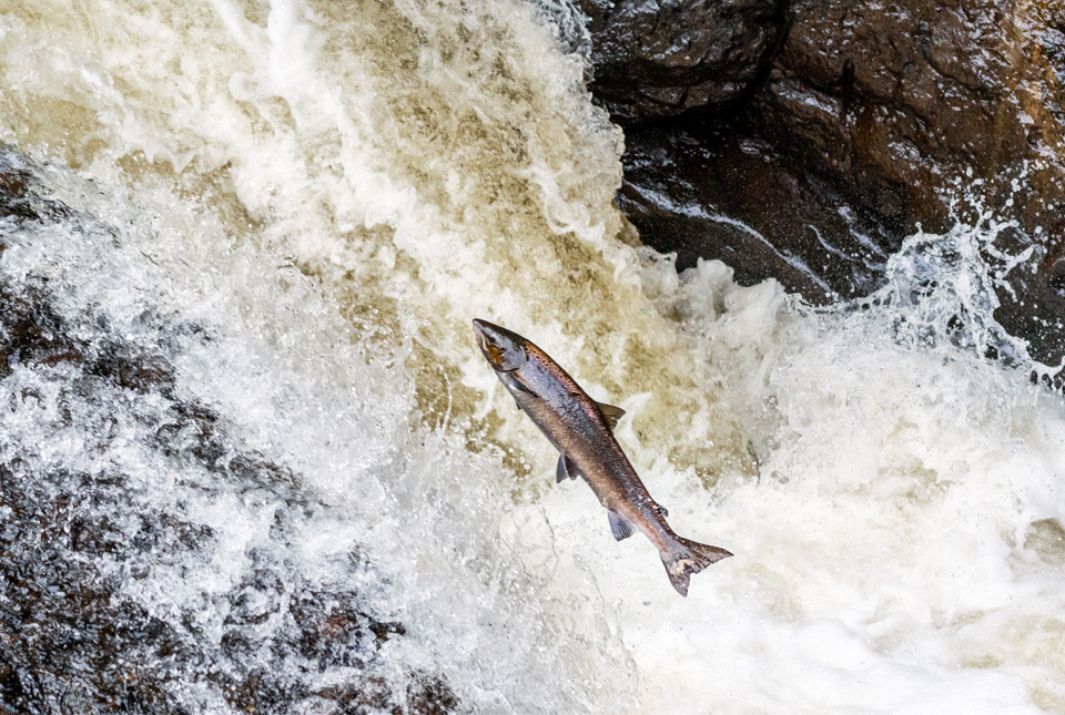

New research has revealed that an abrupt change in climate conditions in the North Atlantic around 800 years ago played a role in a decline in Atlantic salmon populations returning to rivers. Human exploitation reduced their populations still further.
Using state-of-the-art geochemistry, a team of scientists has discovered that large-scale changes in the marine habitat, brought on by a transition from a warm to a cold climate and what is now known as the Little Ice Age (approximately 1300 to 1850 CE), corresponded with a decline in salmon in the River Spey, Scotland. The study, published in the international journal The Holocene, was led by the University of Southampton, working with BGS.

These results can help us understand some of the controls on salmon populations prior to and during major human exploitation.
Our study shows that historically, beavers – common in Scotland hundreds of years ago – do not appear to have significantly impacted salmon numbers. This is very relevant today, as the animals are being reintroduced to UK rivers and a debate continues about their potential impact on migratory species like salmon.
Prof David Sear, professor of geography and environmental science at the University of Southampton and lead author of the study.
This research benefited from state-of-the-art geochemistry which enabled us to fingerprint salmon abundance over hundreds of years. We show that climate has been an important influence of salmon numbers, which is very relevant today due to the speed of climate change.
Prof Melanie Leng, BGS, co-author.
Atlantic salmon lay their eggs in the gravels of headwater streams, where their young live for a year or two before migrating out to sea. Here, they feed and grow into adults, eventually returning to the river to spawn, where many then die. The sperm, eggs and carcasses are rich in marine nutrients, which can be detected in sediment hundreds of years later.
Using core samples from Loch Insh on the River Spey, the scientists collected and measured marine-derived nutrients (MDNs), which give an understanding of the historic population levels of salmon. The team also examined a 150-year record of net-catch data from the lower Spey to help calibrate the MDN record.
The scientists were able to construct a 2000-year record of both salmon-derived nutrients and variations in climate conditions.
The findings show:
- bigger salmon populations (inferred from changes in MDNs) in the past reduced during a cooling climate at around the same time humans began to exploit them, leading to a major decline in the fish over the last 800 years
- larger salmon populations in the past occurred at a time when rivers were also inhabited by beavers, which suggests migratory fish are capable of co-existing with beavers; this is an important concern of anglers around current beaver reintroductions
- migratory fish, such as salmon, bring marine nutrients into our nutrient-poor upland rivers and probably represented a major boost to aquatic and wetland ecosystems in the past, with a decline in nutrients negatively affecting these ecosystems today
It is the first study to use MDNs to measure Atlantic salmon, although the method has previously been used for Pacific salmon in north-west USA and Canada.
Relative topics
Related news

The Lyell Centre celebrates 10 years of world-leading earth and marine science research
07/09/2026
The Lyell Centre for Earth and Marine Sciences, a strategic partnership between Heriot-Watt University and BGS, is celebrating its 10th anniversary, marking a decade of world-leading research, innovation and collaboration in earth and marine sciences.

Demand for data centres presents challenges and opportunities for UK critical mineral supply chains
02/09/2026
Government-backed research finds that vulnerabilities in raw material supply chains must be addressed to secure the critical minerals needed to expand the UK’s digital infrastructure and boost economic growth.

What lies beneath Europe’s sinking ground?
01/09/2026
Land subsidence is becoming increasingly visible across Europe. New research examines how better monitoring, shared data and a deeper understanding of the subsurface can help assess and manage its impacts.

Secrets of an ancient supervolcano uncovered that change our understanding of England’s geological past
28/08/2026
Scientists have found evidence of a long-hidden link between an ancient buried ash layer in Scandinavia and a concealed supervolcano in eastern England.
BGS research into drought-exposed soils wins award
26/08/2026
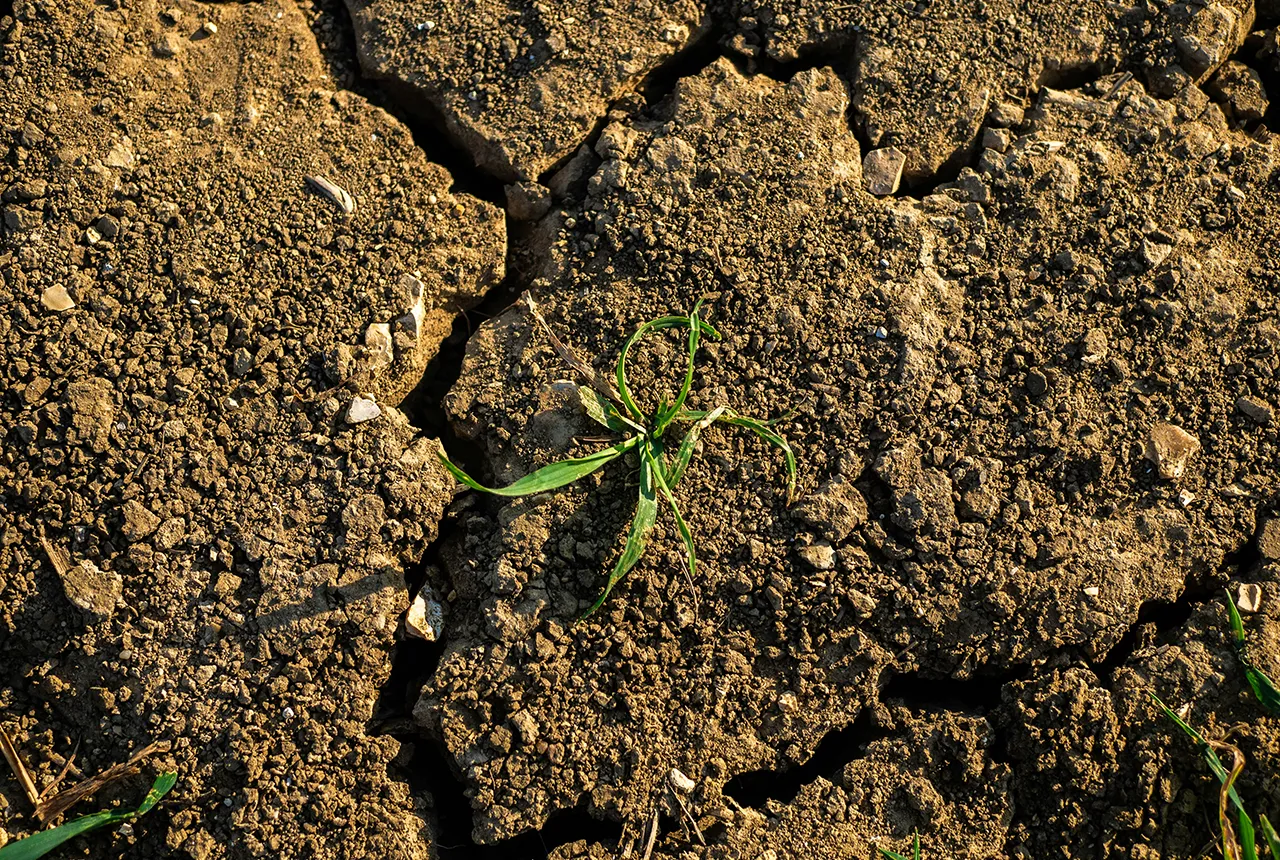
A research paper investigating how temperate soils respond to drought has been announced as the winner of the Land Best Paper Award.
UK aquifers robust despite driest July on record
16/08/2026
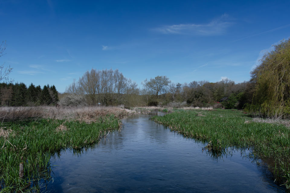
In a summer experiencing widespread drought, groundwater levels around the country are showing resilience, demonstrating their value as a crucial resource and indicating they could play a more significant role in mitigating the impacts of extreme weather.
New NERC-funded project empowers young people to engage with environmental science
23/07/2026
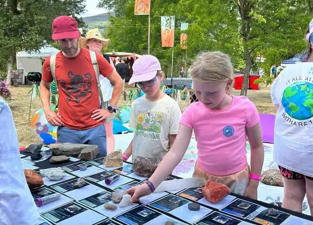
BGS is part of a new, collaborative project, funded through NERC’s ‘Opening up the environment’ programme, helping the environmental research community become more accessible.
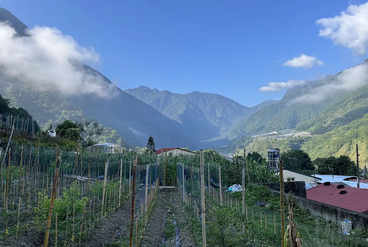
Delving deep into mountains for future water security
16/07/2026
A BGS-led project is using new water-tracing investigation methods, geophysics and modelling to understand how water moves from mountains to the lowlands, helping to improve water security for billions of people.
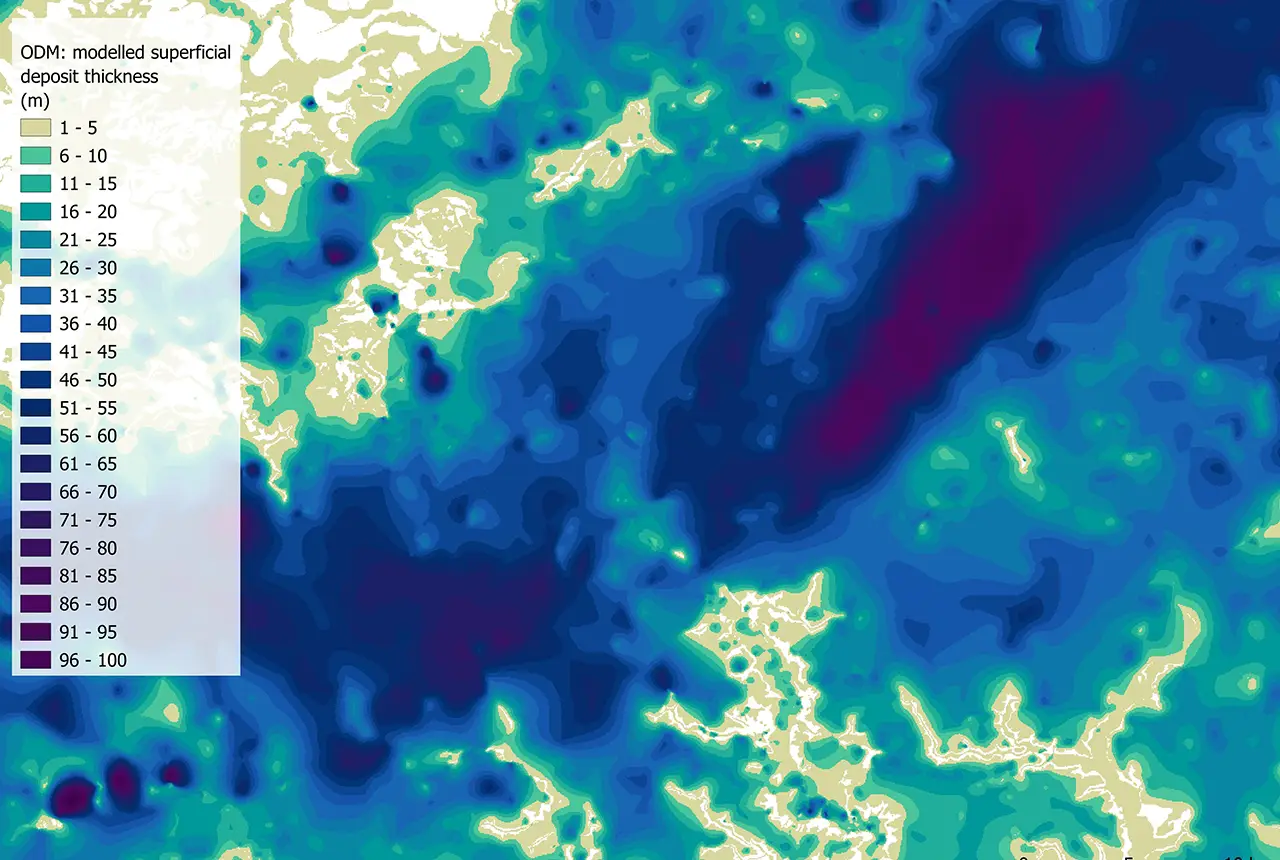
Updated national 3D model will determine the depth to the solid bedrock beneath our feet
13/07/2026
The BGS Superficial Deposit Thickness Model now includes an elevation model of geological rockhead for the first time, providing important data for civil engineers, geoscientists and environmental scientists.
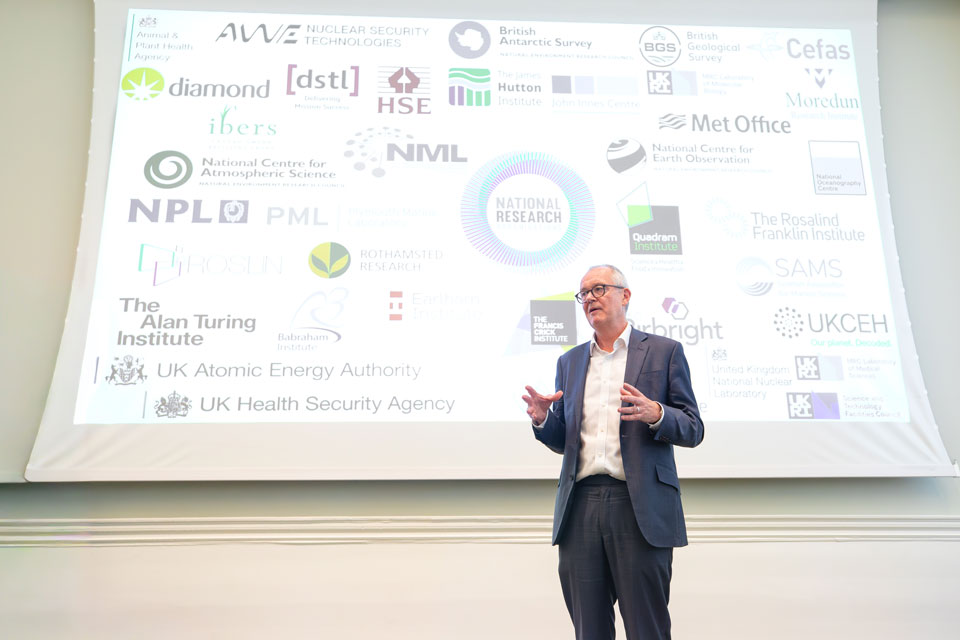
UK’s world-class research organisations launch new collective
10/07/2026
The launch of the National Research Organisations Group brings together more than 100 science leaders to provide an authorativive voice on science, research policy and long-term investment.

Cheshire Geoenergy Observatory releases key geological datasets for UK thermal energy storage scheme design
09/07/2026
A new report and data packs from BGS will provide a unique resource for scientists working on the geology and hydrogeology of the Sherwood Sandstone Formation, an important aquifer and reservoir rock.
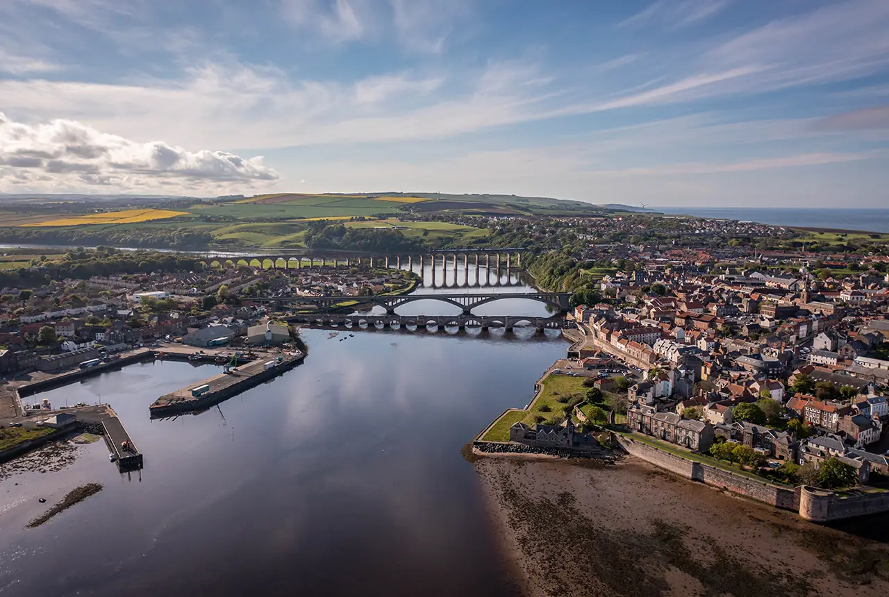
New geological mapping underway to help manage flooding along the River Tweed
08/07/2026
Scientists are surveying the Tweed catchment for the first time in over 100 years to enhance understanding of localised groundwater and improve flood forecasting.