Key information
Scale:
N/ACoverage:
UK continental shelfAvailability:
LicensedFormat:
ASCII text recordsPrice:
£0.26 per line km. Subject to number of users, licence fee and data preparation fee.
Uses:
Local-level to regional-level useGet data
Paid access
This dataset comprises 218 760 line-kilometres of ship-borne gravity survey data that the BGS acquired on the UK continental shelf between 1968 and 1990. Along-line data spacing varies from 200 m to 2000 m.
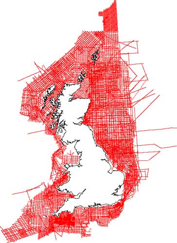

BGS marine gravity survey coverage. BGS © UKRI – Contains OS data © Crown copyright 2020.
You may also be interested in:

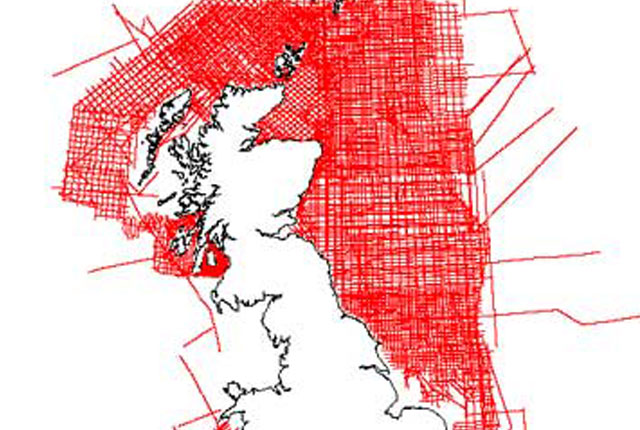
Marine magnetic survey
204 724 line-kilometres of offshore ship-borne magnetic survey data that the BGS acquired on the UK continental shelf between 1967 and 1994
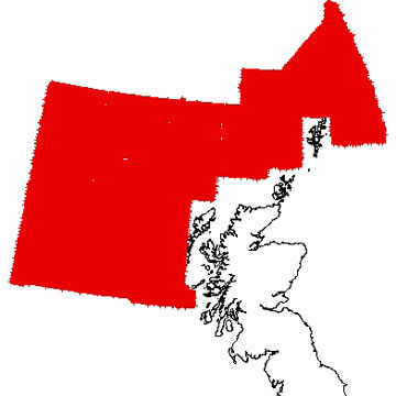
UK Atlantic frontier aeromagnetic survey
Digital aeromagnetic surveys carried out by Hunting Geology and Geophysics Ltd over the UK Atlantic margin in the 1970s and early 1980s.