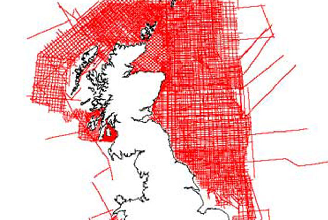

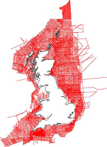
BGS marine magnetic survey coverage. BGS © UKRI – Contains OS data © Crown copyright 2020.
Marine magnetic survey
- N/A
- UK continental shelf
- Premium
This dataset comprises 204 724 line-kilometres of ship-borne magnetic survey data that the BGS acquired on the UK continental shelf between 1967 and 1994. Along-line data spacing varies from 200 m to 2000 m.
Key information
- Scale:
- N/A
- Coverage:
- UK continental shelf
- Availability:
- Premium
- Price:
£0.14 per line km. Subject to number of users, licence fee and data preparation fee.
- Format:
- ASCII text records
- Uses:
- Local-level to regional-level use
- Themes:
- Geophysics, Geoscience information
This dataset comprises 204 724 line-kilometres of ship-borne magnetic survey data that the BGS acquired on the UK continental shelf between 1967 and 1994. Along-line data spacing varies from 200 m to 2000 m.
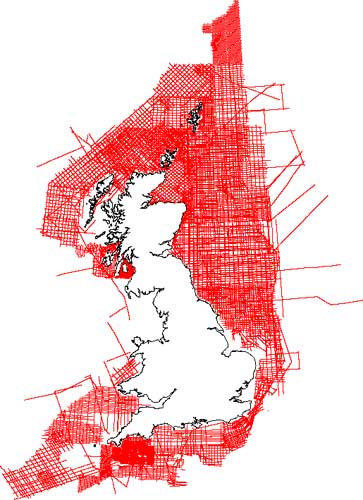
BGS marine magnetic survey coverage. BGS © UKRI – Contains OS data © Crown copyright 2020.
You may also be interested in

Marine gravity survey
218 760 line-kilometres of ship-borne gravity survey data that the BGS acquired on the UK continental shelf between 1968 and 1990.