The datasets below are made available as Open Geospatial Consortium (OGC) web map services (WMS). They can also be accessed by websites that use a map-based interface to connect to WMS, allowing data from different providers to be visualised spatially and compared.
Many of these services contribute to the BGS complying with the EU INSPIRE directive.
To comply with cyber security accreditations required of UK government organisations, changes are being made to our OGC Web Map Services (WMS) at 17:00 on Tuesday 17th May 2022. As a result, some WMS clients may no longer be able to connect to our WMS services. For example, we are aware that this affects older versions of Esri’s ArcMAP (version 10.5.1 and earlier). Where possible, please update to the latest version of the product to continue using our services. If you have any questions or are experiencing difficulties connecting to our WMS services using other clients then please contact us at enquiries@bgs.ac.uk.
How to view a WMS
WMS must be viewed in compatible software. Tutorial videos showing how to include a WMS in an ArcGIS or MapInfo project are provided. To view WMS in other systems, please refer to their documentation.
Terms of use
This data is delivered under the terms of the Open Government Licence, subject to the following acknowledgement accompanying the reproduced BGS materials: ‘Contains British Geological Survey materials © UKRI [year]’. Contact us if you create something new and innovative that could benefit others.
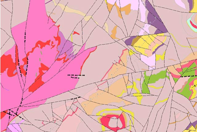
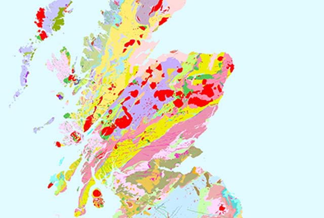
BGS Geology 50K WMS
The 1:50 000-scale geological maps for England, Wales and Scotland and have been made available to view as a WMS service. Layers for bedrock, superficial deposits and geological linear features are included.
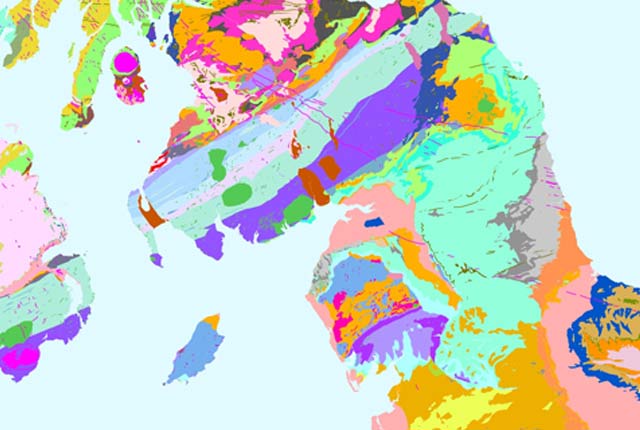
BGS Geology 625K and 1:1 million offshore sediments WMS
These geological maps provide UK onshore geological data at 1:625 000 scale and UK continental shelf sea-bed sediment data at 1:1 million scale as a WMS.
Soil property data WMS
BGS soil property data is made available here to view as a WMS service. Data layers include top soil, soil texture, and soil parent material.
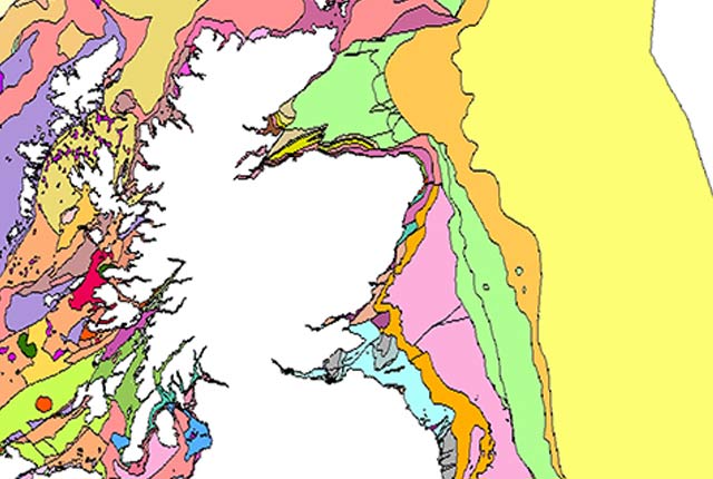
Offshore marine WMS
The 1:250 000-scale offshore geological maps in the Universal Transverse Mercator projection (UTM) series have been made available to view as a WMS.
Advanced soil geochemical atlas WMS
These advanced soil geochemistry maps are based on surface soil samples from England and Wales hat have been analysed for 52 major and trace elements.
Normal background concentrations of contaminants WMS
Domain polygons for data on normal background concentrations of contaminants in English soils have been provided as a WMS.
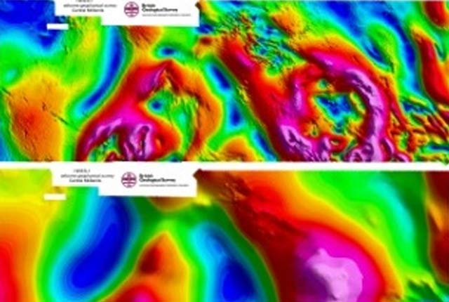
HiRes1 airborne geophysical data WMS
High-resolution, airborne magnetic, radiometric, VLF survey data is provided as a WMS. he data comprises multichannel gamma ray spectrometer, magnetometer and dual frequency VLF-EM.
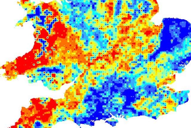
Indicative atlas of radon in Great Britain WMS
Public Health England and the BGS have published a map showing where high levels of radon are more likely, which is provided as a web map service (WMS).
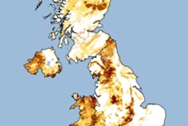
Open-loop ground-source heat pump viability WMS
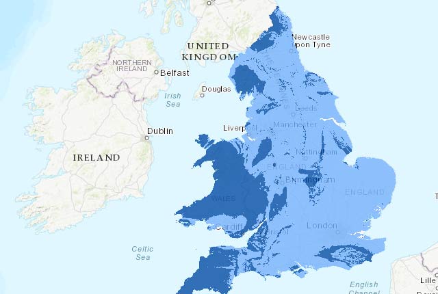
This web-based tool provides an indication of whether suitable conditions exist in a given area for open-loop ground-source heat pumps.
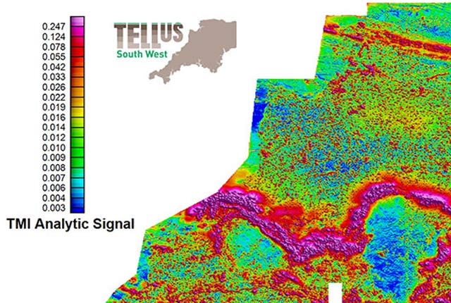
TellusSW airborne geophysical data WMS
The TellusSW airborne geophysical magnetics and radiometrics data for the counties of Cornwall, Devon and Somerset are provided as a WMS.
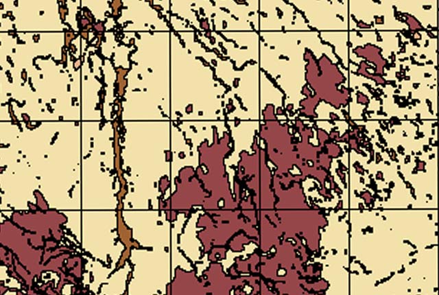
Natural ground stability WMS
Sample data from our 1:50 000-scale natural ground stability data product for the Kilmarnock and Loughborough map sheets provided as part of the OneGeology Europe project.
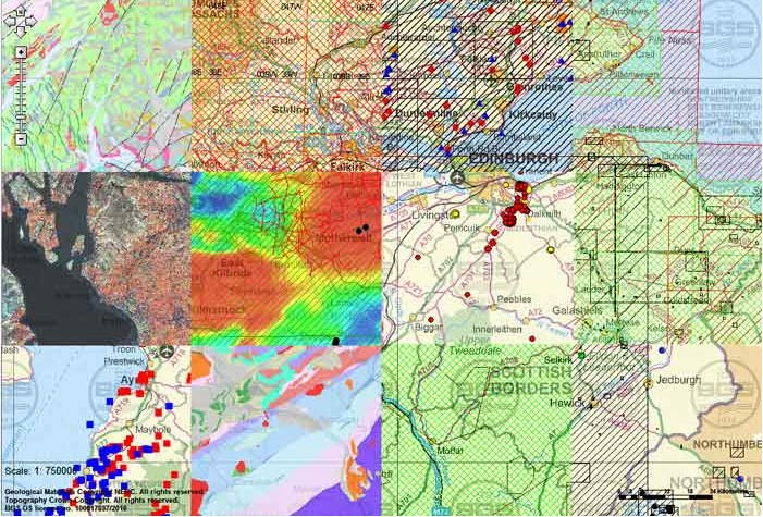
GeoIndex WMS
GeoIndex datasets have been made available as WMS. These web services allow you to bring the GeoIndex data layers into your own mapping software.
Licencing
For direct enquiries about the licencing process (and licence applications) please email the digital licencing team.
For more general enquiries please email Enquiries.
Customer feedback and complaints
You may also be interested in

Technologies
Applications, software and online services created by the BGS and our collaborators.

Web feature services (WFS)
A standard method of providing geographical features across the web. WFS provides real data as opposed to WMS that provides only images.