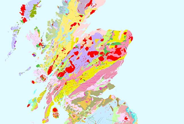
In collaboration with the Environment Agency (EA), we have developed a web-based tool that provides an indication of whether suitable conditions exist in a given area for open-loop ground-source heat pumps (GSHP). The tool was developed within a GIS and maps the potential for open-loop GSHP installations (heating/cooling output over 100 kW) in England and Wales at the 1:250 000 scale.
Service address
Enter this address into your WMS client: https://map.bgs.ac.uk/arcgis/services/GSHP/GSHP_WMS/MapServer/WmsServer
Example WMS requests (versions 1.3.0 and 1.1.1 supported)
Can’t use the WMS?
Try the online screening tool viewer if you are unable to use a WMS.
Terms of use
Non-commercial use — acknowledge the material.
Commercial use — apply for a copyright permit or digital data licence.
You may also be interested in

Technologies
Applications, software and online services created by the BGS and our collaborators.
Web map services (WMS)
A standard method of providing map images that can be viewed in GIS software, virtual globes and portal-style websites using a map-based interface.