Relative topics
25 results for "resilience"
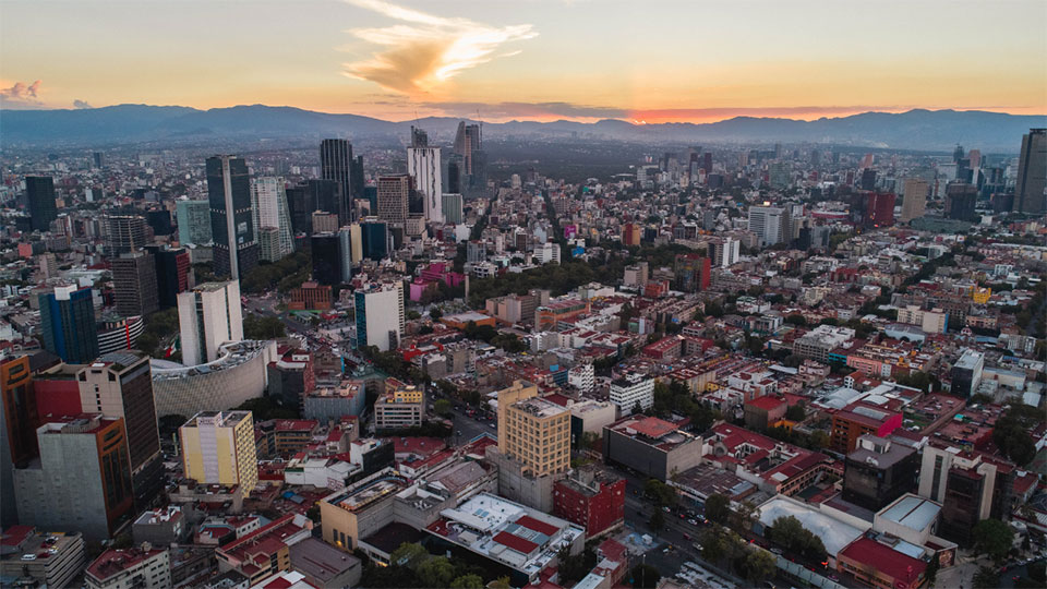
Understanding the resilience of Mexico City to future water crises
Long-term solutions for water poverty in one of the world's largest cities in the face of climate change and a growing population.
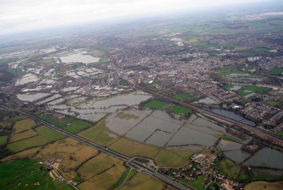
Groundwater level forecasting
BGS delivers probabilistic forecasts of groundwater levels across the UK’s principal aquifers to provide a range of services that build national resilience to groundwater extremes.
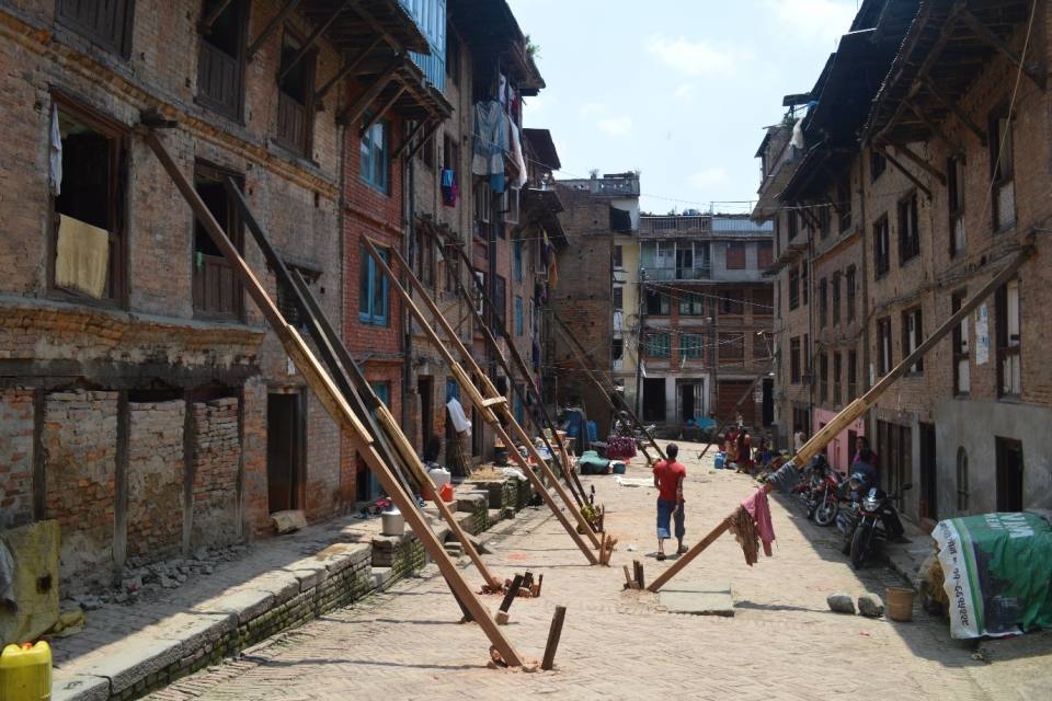
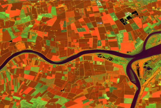
Using satellite imagery for emergency disaster response
BGS has a long history of assisting relief efforts by providing satellite maps, data and interpretation to those affected by disasters, helping to identify hazardous areas to avoid.
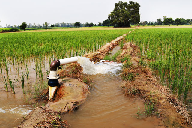
Sustainable groundwater management underpins food security in South Asia
The most intensively cultivated areas of South Asia are crucial for regional food security and have become global hotspots of groundwater exploitation.

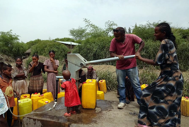
Groundwater resilience with Alan MacDonald
Learn more about our groundwater resilience research and our work with WaterAid on the UPGro project, focusing on groundwater availability in Africa.
Five minutes with … the BGS Hazard and Resilience Modelling team
Meet the team behind our geohazard products and datasets.
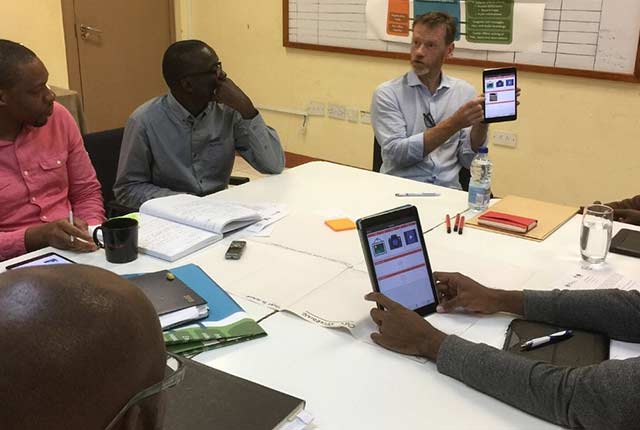
Enhancing multi-hazard resilience through citizen science in the Caribbean
We are working with partners to develop a citizen science app for collecting and sharing observations of natural hazards and impacts in near real-time.