Relative topics
57 results for "landslides"

BGS awarded funding to support Malaysia’s climate resilience plan
The project, funded by the Foreign, Commonwealth & Development Office, will focus on minimising economic and social impacts from rainfall-induced landslides.
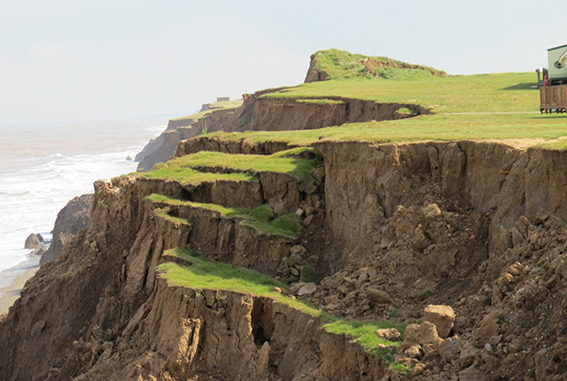
Artificial intelligence helps scientists identify 3000 moving slopes potentially at risk of landslide
A new approach that combines AI and satellite data has been used by scientists to detect actively moving landslides at a national scale.
BGS-led paper scoops prestigious award
New research providing earlier warnings of landslides has been awarded the British Geotechnical Association medal.
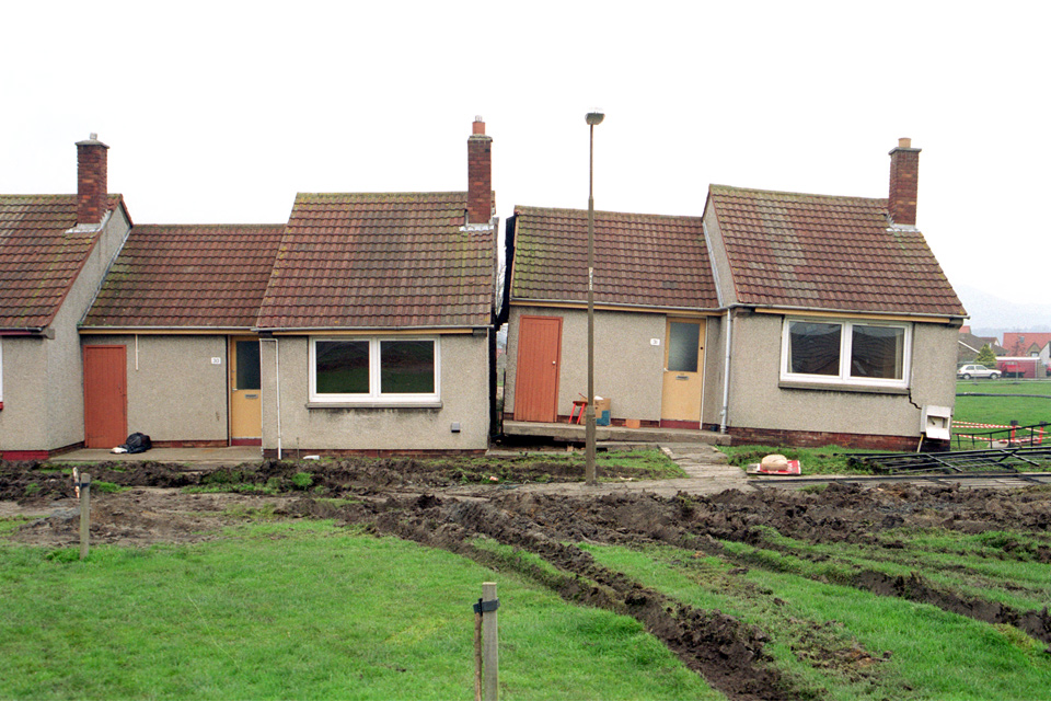
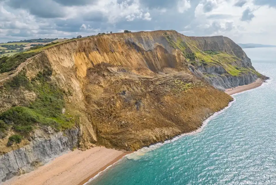
Is your region susceptible? Britain’s geohazard hotspots revealed
From sinkholes to radon: new maps highlight the most geologically at-risk regions
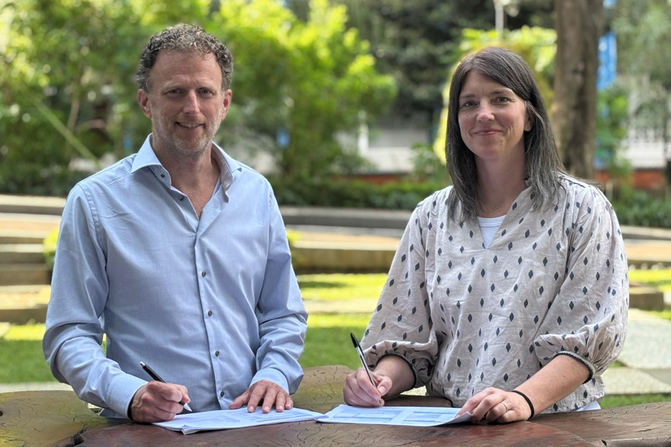
New collaboration aims to improve availability of real-time hazard impact data
BGS has signed a memorandum of understanding with FloodTags to collaborate on the use of large language models to improve real-time monitoring of geological hazards and their impacts.
BGS receives award at the World Landslide Forum 2023
BGS's landslide team has been designated a World Centre of Excellence on landslide risk reduction by the International Consortium on Landslides.
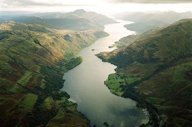
Below the bonnie banks: mapping Loch Lomond’s underwater landslides
Using high-resolution, multibeam bathymetry and shallow seismic imaging, BGS’s marine geoscience and landslides teams are mapping historic landslides under the waters of Loch Lomond.