Relative topics
76 results for "geohazards"
BGS scientists work with United Nations to update hazard profiles
From tsunamis to sinkholes, the profiles provide a standardised, internationally agreed definition of hazards to support disaster risk management worldwide.
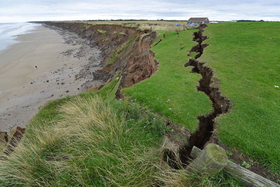
Is your region susceptible? Britain’s geohazard hotspots revealed
From sinkholes to radon: new maps highlight the most geologically at-risk regions
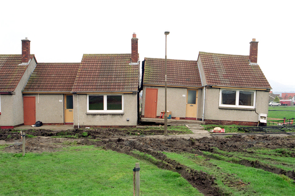
New tool helps identify coal mine gas risk for housing developments in Scotland
Scientists have co-developed a new tool for North Lanarkshire Council to help screen coal mine gas emissions prior to the development of new houses and buildings.
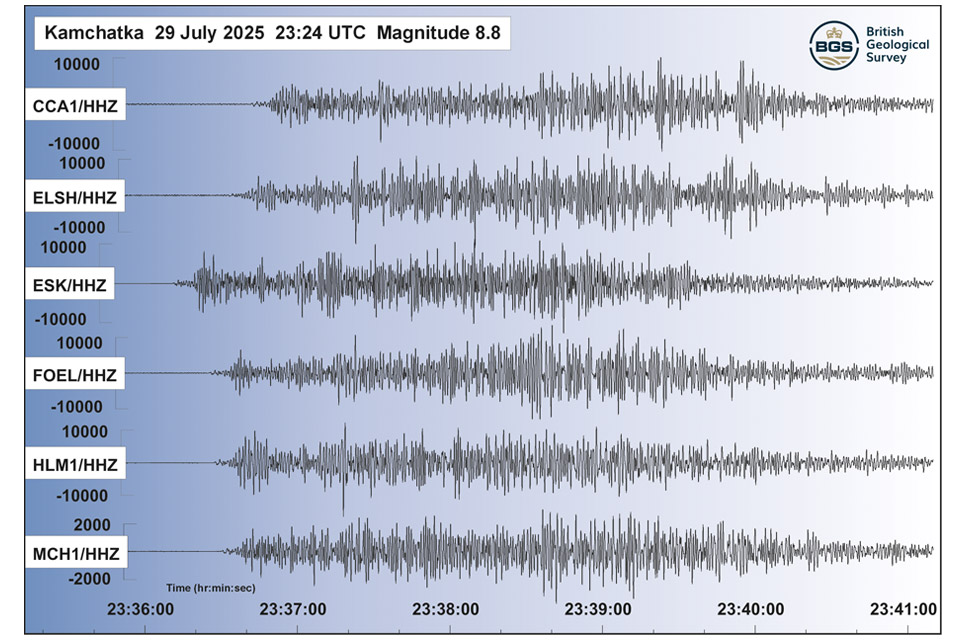
Kamchatka earthquake highlights the advances in tsunami early warning systems
The response to the 8.8 magnitude earthquake in Russia has emphasised how far scientific understanding of tsunamis has come over the last two decades, and the improved mitigation measures that are now in place.
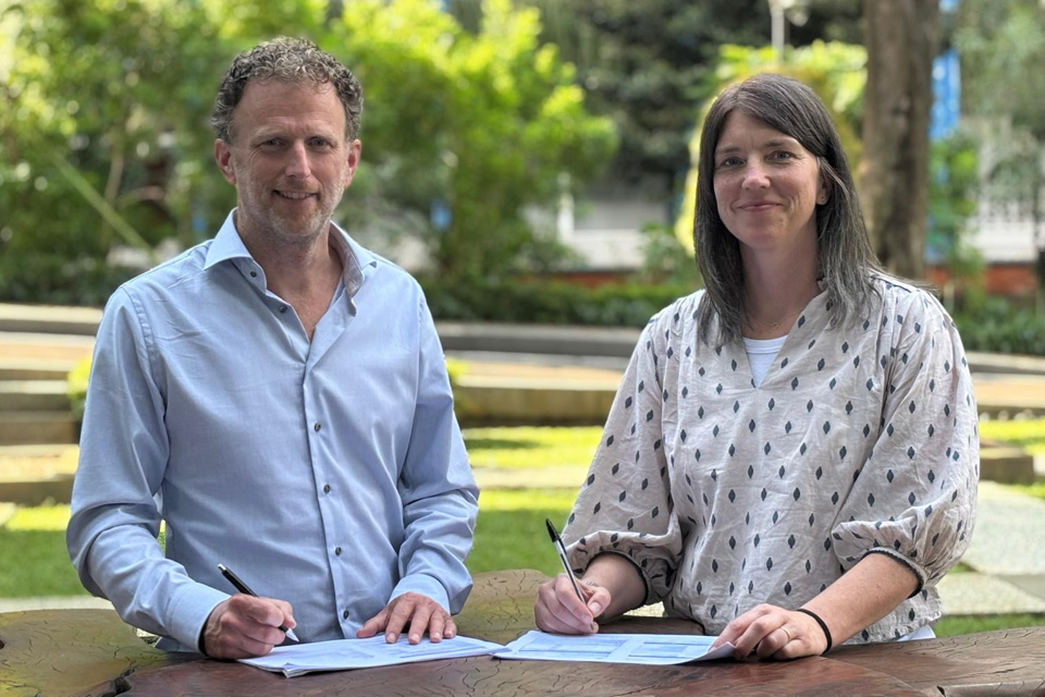
New collaboration aims to improve availability of real-time hazard impact data
BGS has signed a memorandum of understanding with FloodTags to collaborate on the use of large language models to improve real-time monitoring of geological hazards and their impacts.
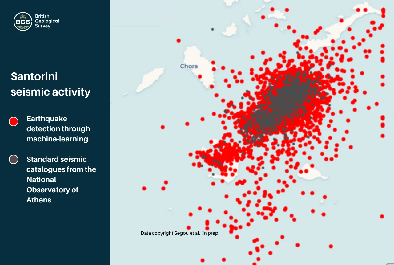
Artificial intelligence is proving a game changer in tracking the Santorini earthquake swarm
Scientists are harnessing the power of machine learning to help residents and tourists by detecting thousands of seismic events.
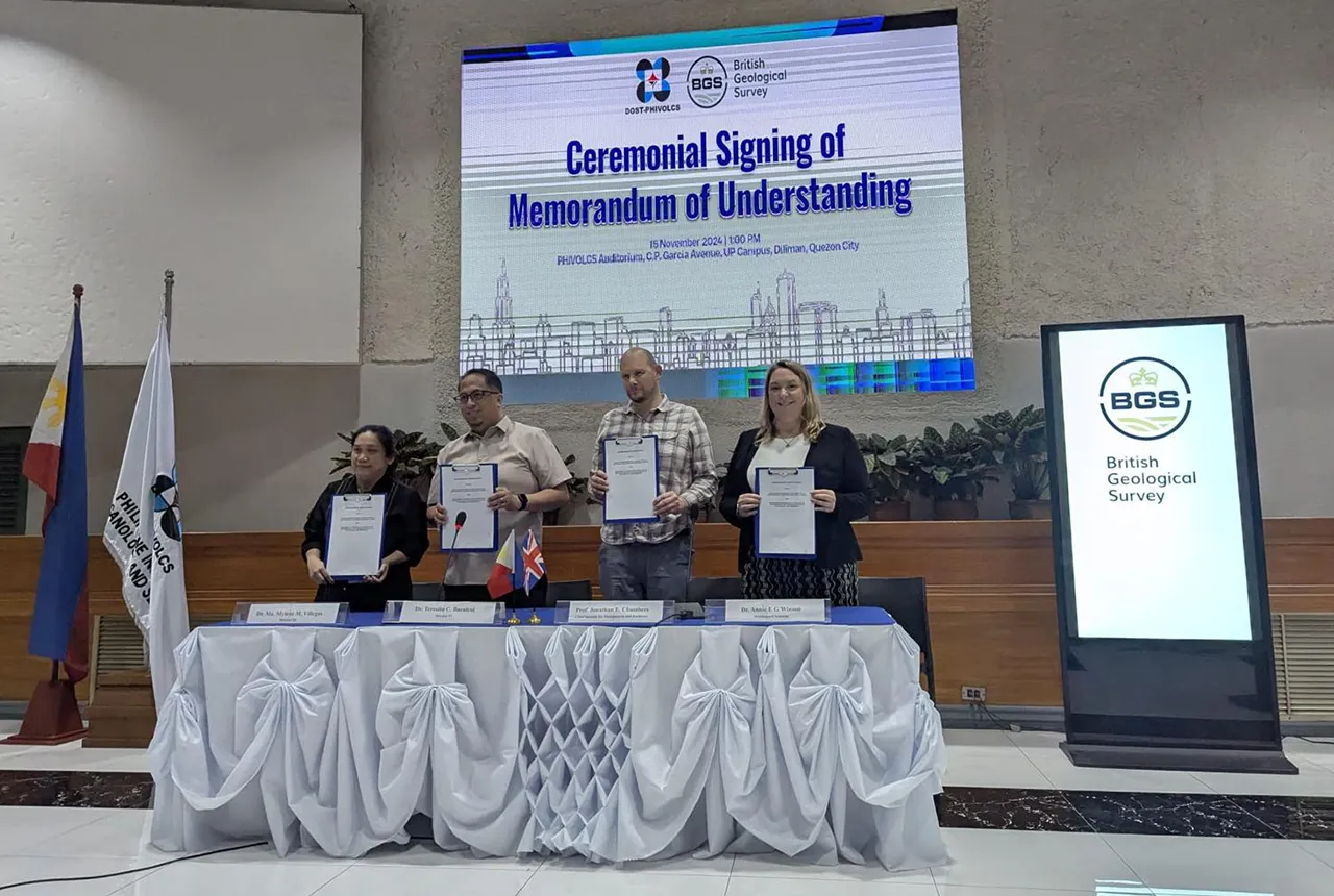
New Memorandum of Understanding paves the way for more collaborative research in the Philippines
The partnership will focus on research on multi-hazard preparedness within the country.
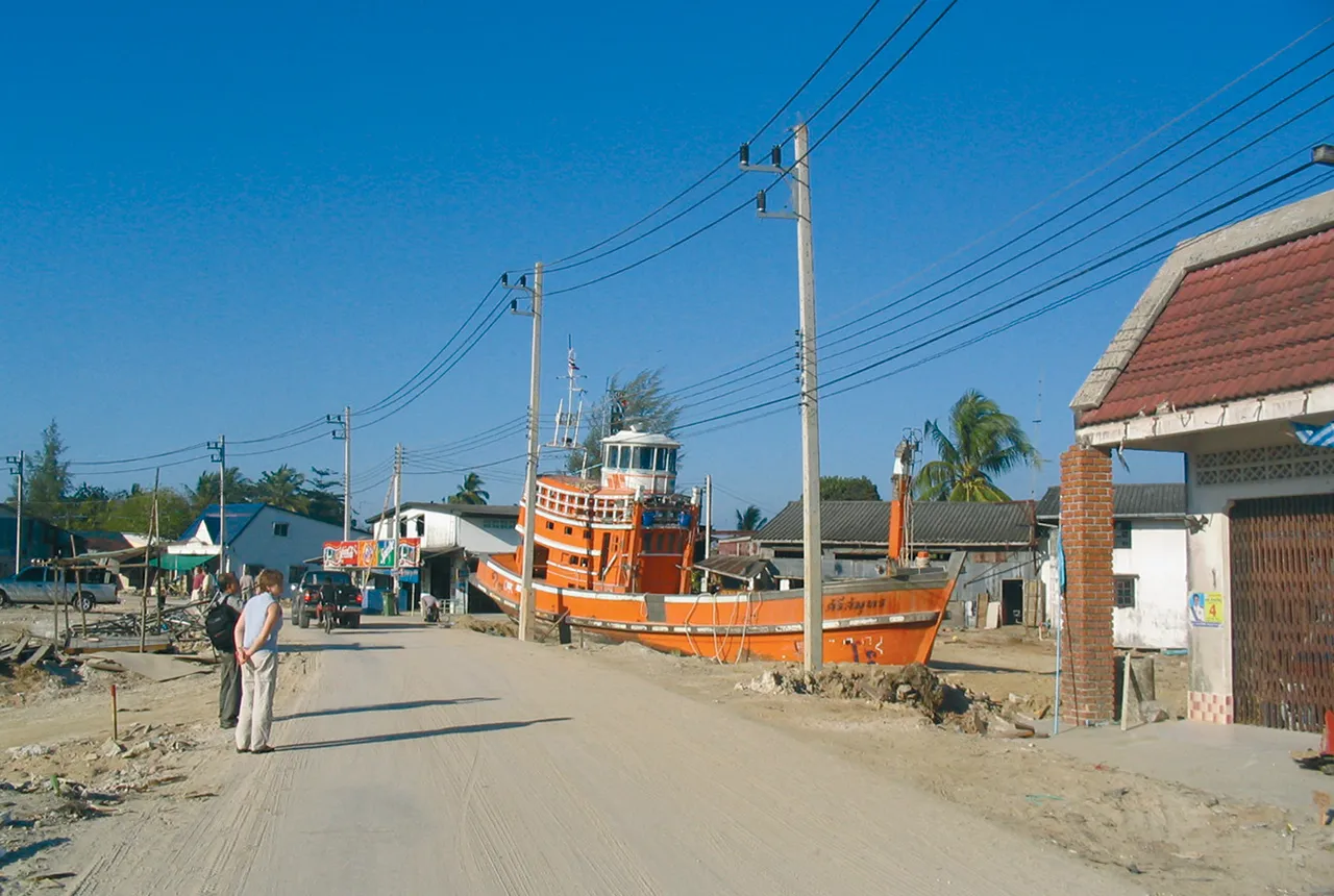
Twenty years on: the Indian Ocean earthquake and tsunami
Boxing Day 2024 marks 20 years since the Indian Ocean earthquake and tsunami. Prof David Tappin reflects on the disaster and discusses what we have learnt since 2004.