Relative topics
4 results for "emergency response"
News and events
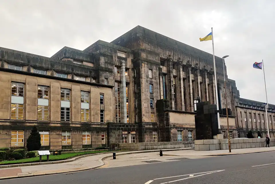
BGS scientist announced as Scottish Government policy fellow
BGS geohazard scientist Roxana Ciurean has been named amongst new policy fellows for the Scottish Government.
Research
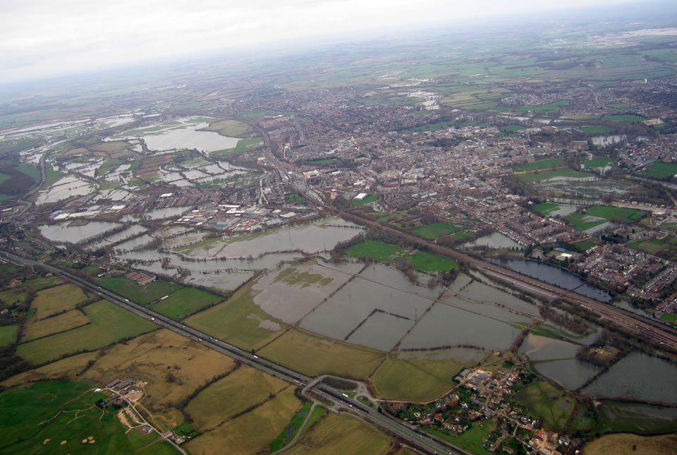
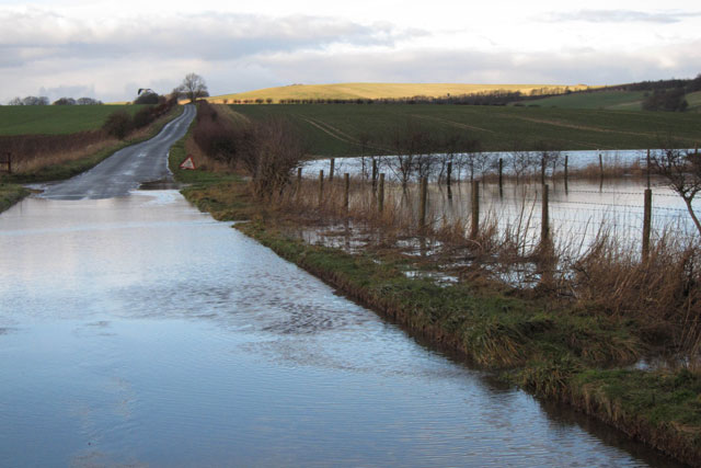
Groundwater level forecasting
BGS delivers probabilistic forecasts of groundwater levels across the UK’s principal aquifers to provide a range of services that build national resilience to groundwater extremes.
News and events
BGS to deliver three-year groundwater flood forecasting service to support emergency response to flooding
BGS is delivering a national-scale early warning system for groundwater flooding, alongside the Environment Agency and the Met Office.
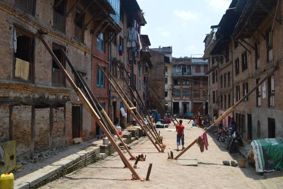
News and events
Using satellite imagery for emergency disaster response
BGS has a long history of assisting relief efforts by providing satellite maps, data and interpretation to those affected by disasters, helping to identify hazardous areas to avoid.