Relative topics
55 results for "digital data"
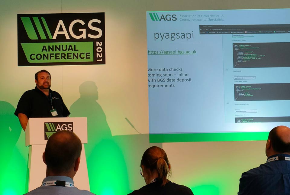
A new suite of AGS file utilities and public API
BGS has released an online AGS file utilities tool validator.
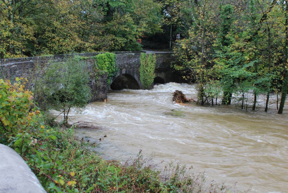
Climate and geology: considering future potential for river scour
A trial BGS data product takes the temporal component of potential future increased amount and intensity of rainfall on river scour into account.

Byte by byte: developing our digital preservation capability
A brief timeline of the digital preservation journey at BGS and NGDC.

BGS Digital data review 2021–22
BGS has undertaken a comprehensive understanding of the data ecosystem in which we operate, providing a detailed assessment of our current operating models and the options for our target operating model over the next 10 years.

Six ways to prepare your home for climate change related subsidence
Subsidence caused by shrinking and swelling of the ground can lead to financial loss. How can you mitigate against it?
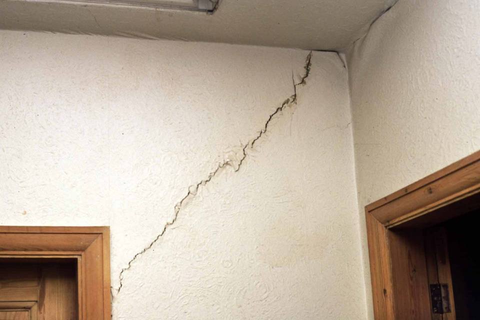
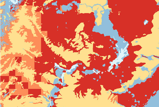
Maps show the real threat of climate-related subsidence to British homes and properties
New maps launched by BGS reveal how climate change is likely to drive an increase in subsidence-related issues for British homes and properties over the next 50 years.
Five minutes with … the BGS Hazard and Resilience Modelling team
Meet the team behind our geohazard products and datasets.
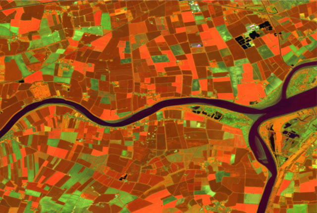
GeoClimate UKCP09 and UKCP18
BGS has developed a suite of products, including maps and data, which show potential change in subsidence due to UKCP climate change scenarios