Relative topics
55 results for "digital data"
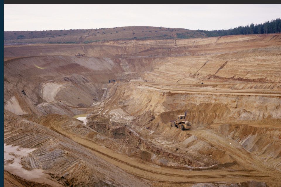
New data reveals latest mineral workings around Great Britain and Northern Ireland
The newest release of BGS BritPits provides information on an additional 6500 surface and underground mineral workings.
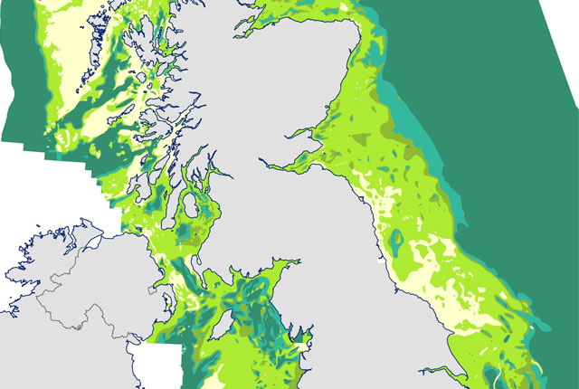
Seabed geology data: results from stakeholder consultation
BGS collected valuable stakeholder feedback as part of a new Crown Estate-led initiative to improve understanding of national-scale seabed geology requirements.
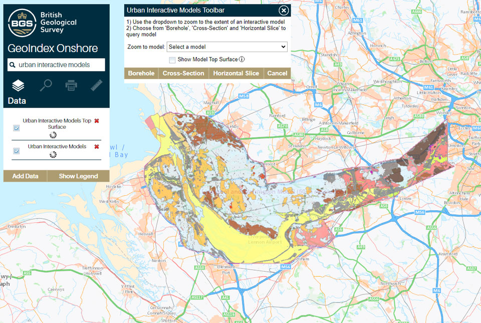
What lies beneath Liverpool?
The geological secrets lying under the surface of Liverpool and Warrington have been unveiled for the first time in BGS’s 3D interactive tool.
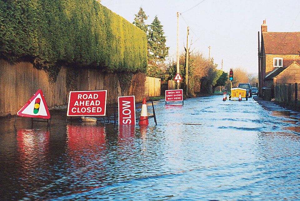
BGS Groundwater Flooding Susceptibility: helping mitigate one of the UK’s most costly hazards
Groundwater flooding accounts for an estimated £530 million in damages per year; geoscientific data can help to minimise its impact.
National Hydrocarbons Data Archive files now accessible through the National Data Repository
Offshore well and survey information held within BGS’s archive have now been transferred to the North Sea Transition Authority’s National Data Repository to enable greater access.
Update released for BGS open-source database software, ETL Helper
The software tool helps simplify the process of data transfer into and out of databases.
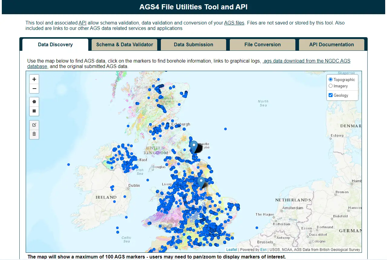
Update to BGS’s AGS file utilities tool released
BGS has released significant updates to its online tool for validating geotechnical data held as AGS files. The update includes improvements to the tool’s user interface and the ability to convert AGS data into MS Excel files.
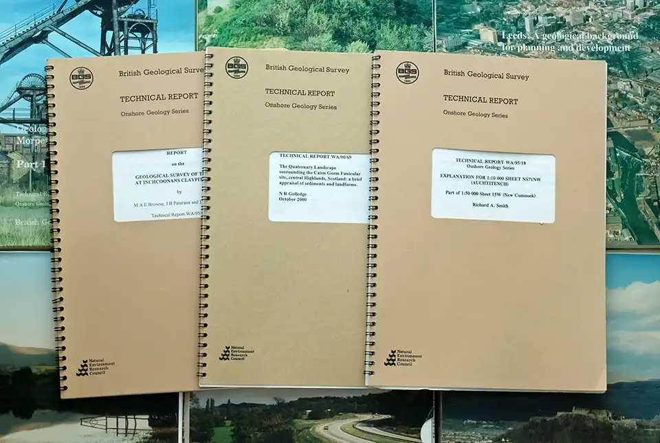
BGS’s National Geoscience Data Centre releases over 8000 technical reports
The technical reports, covering the full spectrum of BGS activities and subjects, were produced between 1950 and 2000.