Relative topics
5 results for "citizen science"
News and events
Citizen science: become part of a real-time Global Landslide Detector
BGS and partners are trialling a new social media tool that detects worldwide landslides in real time.
News and events
iGeology: enhancing the visibility of BGS map data and reports
Downloaded over 400 000 times worldwide by building surveyors, walkers, teachers and geologists
Research
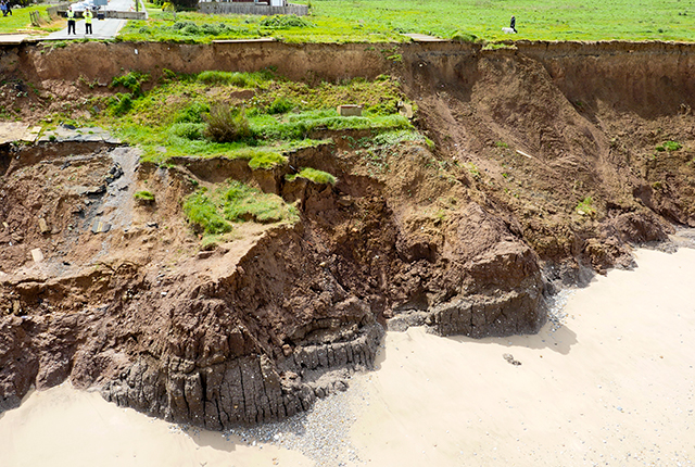
Citizen science for multi-hazards and disaster risk reduction
We are using citizen science for people to develop a shared understanding of hazardous phenomena and for communities to contribute to hazard forecasting and early warning.
Research
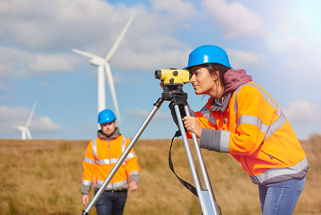
Citizen science
Allowing scientists to accomplish research objectives more readily than would otherwise be possible, using volunteers to perform research-related tasks.
Research
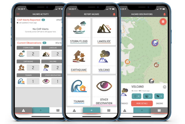
Enhancing multi-hazard resilience through citizen science in the Caribbean
We are working with partners to develop a citizen science app for collecting and sharing observations of natural hazards and impacts in near real-time.