Secure your digital datasets — by letting a data centre look after them!
Mark Fellgett discusses why data centres should be the de facto option for the storage of geoscience data.
10/12/2021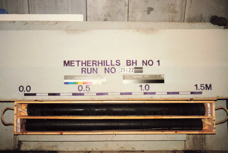

Ongoing and innovative geoscience research often depends on the re-use of legacy datasets, which can be valuable long after they have been collected. Of particular interest is data collected by publicly funded research, as it usually has fewer restrictions governing its re-use.
For many research projects that BGS is involved with, outputs and deliverables are hosted by institutions or companies and shared via websites. This method of delivering data to stakeholders may allow for easy and instant access to material, but it leaves data at risk and it is certainly not recommended for long-term storage. Ongoing data management, such as maintenance, compatibility and security of websites, is rarely costed into a project. Over time, this may result in loss of functionality and ultimately loss of access to the data, often occurring as ‘link rot’, where hyperlinks no longer point to the original web page or server.
One such example comes from the NERC-funded Rapid Global Geological Events Project (RGGE), which ran 1995–1998. The aim of RGGE was to identify the effects of climactic changes on modern sediments. The project focused on the Kimmeridge Clay, with two boreholes drilled on the south coast of England at Swanworth Quarry and Metherhills, Dorset. The work involved collecting core, laboratory work and field testing, and went on to support a large number of scientific publications. The quality and variety of data combined with its origins as a publicly funded project also made it ideal material for student projects.
Following completion of the project much of the analytical data and stratigraphic interpretations were stored in an openly accessible website. However, towards the end of 2020, the website was no longer accessible and, with that, all the data was lost. However, BGS held some of the wireline logging data from RGGE through their involvement with the initial project. The data had been rediscovered following unrelated work in 2015. During this time, a BGS member of staff had downloaded the rest of the RGGE data from the website to supply it to a student.
Once the external RGGE website went offline, the copy of the data held by BGS was one of the only copies of the complete dataset representing years of world-leading, publicly funded research. Unfortunately the list of associated publications was not downloaded and, as a result, has been lost. In order to secure this dataset in the long term and make it available for future reuse, it was decided to store it at the National Geoscience Data Centre (NGDC).
At the time of data collection, no metadata standards were available to advise the scientists on acceptable file formats. The NGDC now maintains a list of preferred digital formats, which is updated annually. As many of the researchers on the RGGE project have since retired or left earth science, attribution of this dataset had to be undertaken over 20 years after the data was collected in order to store it in the NGDC.
The RGGE dataset is now secured with a digital object identifier (DOI) and made publicly available under the Open Government License. This not only guarantees the long-term storage and preservation of the data but also promotes its re-use for future research through clear and transparent licensing conditions.
This is a prime example on how project-specific applications such as websites may leave valuable and unique digital data vulnerable. Ongoing and future geoscience research is dependent on these types of datasets and, without securing them, we may compromise our ability to understand the subsurface and thus the quality of future research. Professionally maintained data centres providing long-term data stewardship should be the de facto option for the storage of geoscience data.
About the author

Mark Fellgett
Petrophysicist
Relative topics
Latest blogs

Strengthening capacity through partnership: a critical minerals perspective
28/04/2026
BGS has been working in partnership with the Geological Survey Department of Zambia (GSD) to build national capacity, improve data accessibility and support long-term, sustainable development.

PhD adventures in Copenhagen, Denmark: revealing past recovery processes of tropical forest systems through ancient environmental DNA
12/03/2026
PhD student Chris Bengt visited the University of Copenhagen to carry out very delicate extraction of aeDNA from lake-sediment cores, in the hopes of unlocking the secrets of past volcanic eruptions.

MARC Conference 2025: highlighting the importance of conferences to PhD students
16/02/2026
BGS and University of Nottingham PhD student Paulina Baranowska shares her experience presenting her research on nuclear forensics at her first international conference.

Hole-y c*@p! How bat excrement is sculpting Borneo’s hidden caves
23/12/2025
BGS researchers have delved into Borneo’s underworld to learn more about how guano deposited by bats and cave-dwelling birds is shaping the subsurface.

How the geology on our doorstep can help inform offshore infrastructure design
19/11/2025
BGS is part of a new collaboration using onshore field work to contextualise offshore data and update baseline geological models which can inform the sustainable use of marine resources.

Fieldwork on Volcán de Fuego
13/10/2025
Understanding how one of the world’s most active volcanoes builds up material, and how they collapse to feed hot flows
Esthwaite Water: applying novel approaches to understand lake-water nutrient pollution
19/09/2025
Andi Smith (BGS) and Savannah Worne (Loughborough University) embarked on fieldwork in the Lake District, applying a novel stable isotope method for tracing phosphorus sources.

Opening up the geosciences: making work experience more accessible
19/09/2025
BGS has been working with partners to make the geosciences more accessible to young people, including those from under-represented backgrounds.
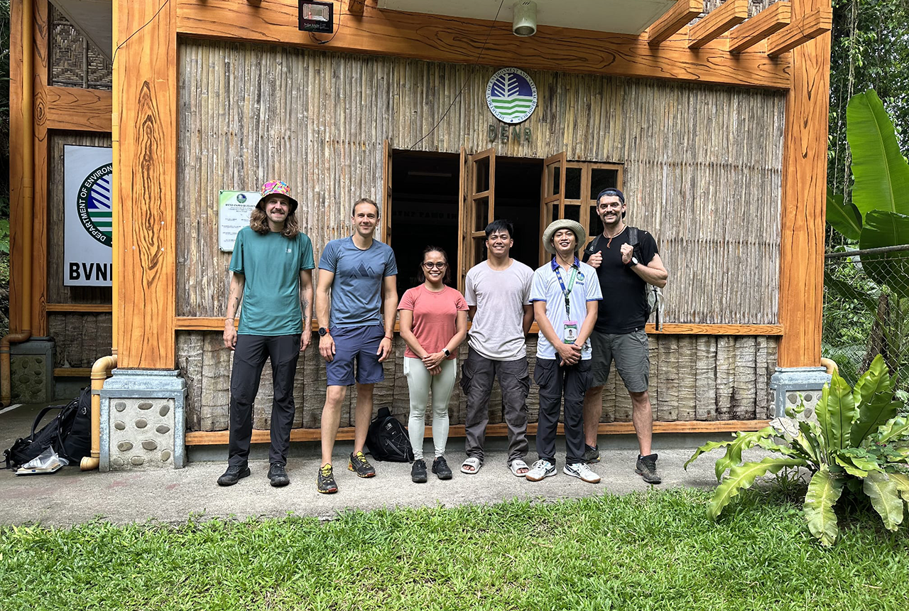
PhD adventures in the Philippines: coring around Lake Bulusan
05/09/2025
Chris Bengt recounts his two-week field trip to Bulusan Volcano Natural Park in the Philippines to collect lake sediment cores, fresh soil and water samples.
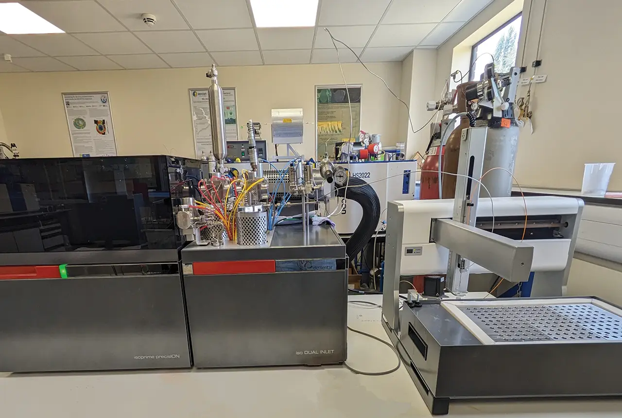
Gemini: a new stable isotope tool
21/08/2025
BGS’s Stable Isotope Facility has new mass spectrometer equipment for analysing carbon and oxygen isotopes from carbonates and water.
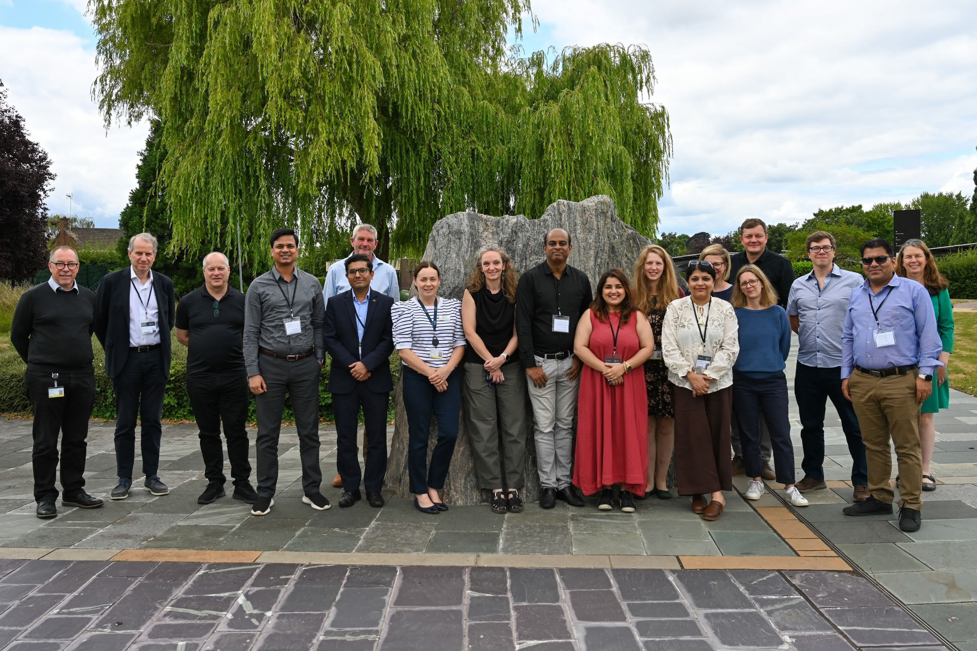
BGS hosts India for ‘deep dive’ on carbon capture and storage
30/07/2025
Some of India’s top scientists visited BGS to explore the UK’s carbon dioxide storage research potential.
AI and Earth observation: BGS visits the European Space Agency
02/07/2025
The newest artificial intelligence for earth science: how ESA and NASA are using AI to understand our planet.