Latest

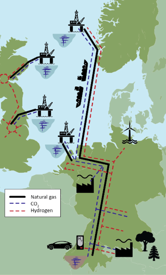
UK scientists unite for seabed mapping survey of the UK’s south-west coastline
15/04/2026
BGS geologists join research voyage, gathering crucial geological data to support offshore energy and infrastructure projects.

Isotopes and science: my student placement at BGS
08/04/2026
Industrial placements at BGS for undergraduate students give real-life experience of working in laboratories and learning different analytical techniques.


PhD adventures in Copenhagen, Denmark: revealing past recovery processes of tropical forest systems through ancient environmental DNA
12/03/2026
PhD student Chris Bengt visited the University of Copenhagen to carry out very delicate extraction of aeDNA from lake-sediment cores, in the hopes of unlocking the secrets of past volcanic eruptions.
Explore more news
Browse all news and events by category
Engaging the human process in earth science
02/06/2018
Sustainability science research suggests that what elevates environmental problems from difficult to seemingly intractable is the role and behaviour of humans, at scales from individual to institutional.
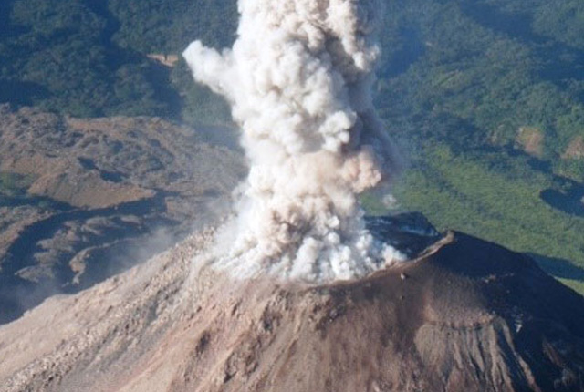
Natural hazards and disaster risk reduction in Guatemala
02/06/2018
Guatemala is exposed to multiple natural hazards, including earthquakes, volcanic eruptions (and all their associated hazards, such as ash, lava flows, pyroclastic density currents and lahars), tsunamis, landslides, floods, droughts, ground collapse, tropical storms and hurricanes, extreme temperatures, and forest fires.
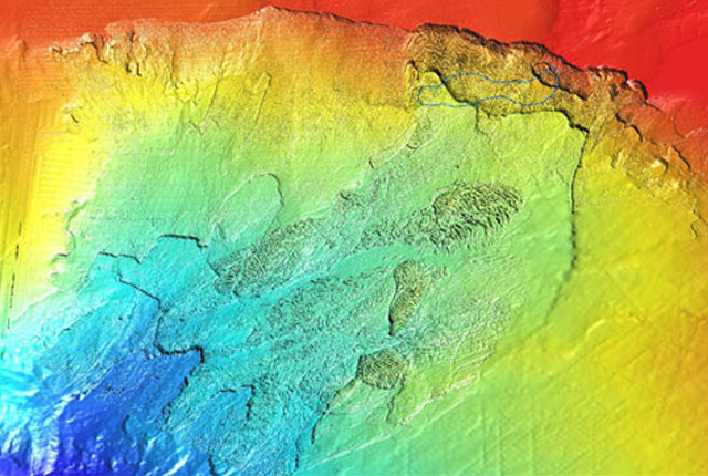
EMODnet data ingestion service
02/06/2018
The European Marine Observation and Data Network (EMODnet) consists of more than 160 organisations that together work on assembling, harmonising and making marine data, products and metadata more available.

Mapping a geomagnetic storm with Raspberry Pi magnetometers
02/06/2018
In September 2017, one of the largest geomagnetic storms of the current solar cycle hit the Earth after a coronal mass ejection left the Sun.
Risks from fracking to be studied by top UK research team
02/06/2018
A BGS-led research team is setting out to define the combined environmental and health risks over the whole life cycle of shale gas operations in the UK.

Community water management for a liveable London
02/06/2018
A research consortium including BGS will collaborate with partners and stakeholders within London to address sustainable management of the city's water within the context of required housing growth and the environment.