Latest

UK scientists unite for seabed mapping survey of the UK’s south-west coastline
15/04/2026
BGS geologists join research voyage, gathering crucial geological data to support offshore energy and infrastructure projects.

Isotopes and science: my student placement at BGS
08/04/2026
Industrial placements at BGS for undergraduate students give real-life experience of working in laboratories and learning different analytical techniques.


PhD adventures in Copenhagen, Denmark: revealing past recovery processes of tropical forest systems through ancient environmental DNA
12/03/2026
PhD student Chris Bengt visited the University of Copenhagen to carry out very delicate extraction of aeDNA from lake-sediment cores, in the hopes of unlocking the secrets of past volcanic eruptions.
Explore more news
Browse all news and events by category
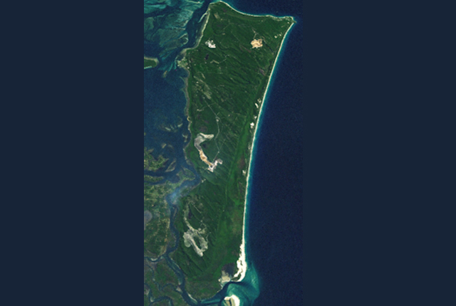
Investigating climate and environmental change in eastern Australia
02/06/2017
Climate change in Australia could lead to environmental and economic impacts on water security, agriculture, coastal communities and infrastructure.
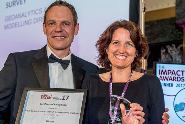
BGS wins impact award
02/06/2017
The GeoAnalytics and modelling (GAM) directorate have won Team of the Year at the PraxisUnico Impact Awards 2017!
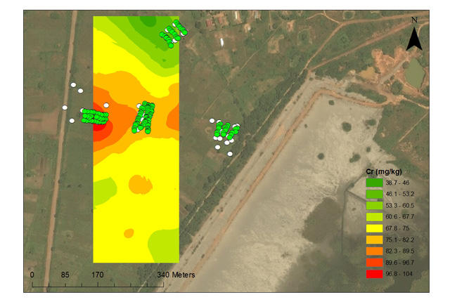
Environmental contamination from mine tailings in Africa
02/06/2017
BGS scientists helped with experimental trials to investigate the influence of soil management strategies, on metal uptake of soils.
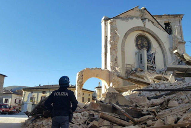
Deploying and servicing a seismic network in Central Italy
02/06/2017
BGS seismologists are using the seismicity that is hitting Central Italy to analyse the triggering and evolution of an earthquake sequence.
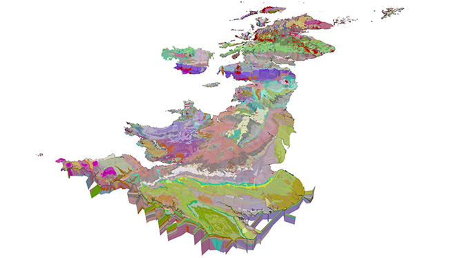
GeoSciML data standard becomes official
15/03/2017
The OGC GeoSciML Standard defines a model and the encoding for geological features commonly described and portrayed in geological maps, cross sections, geological reports and databases.