Latest

BGS awarded funding to support Malaysia’s climate resilience plan
17/12/2025
The project, funded by the Foreign, Commonwealth & Development Office, will focus on minimising economic and social impacts from rainfall-induced landslides.

New geological maps of the Yorkshire Wolds to better inform groundwater management and policy decisions
17/12/2025
The new mapping provides crucial data on localised geological issues that may assist in protecting water supplies.
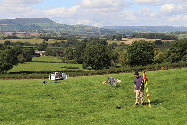

How the geology on our doorstep can help inform offshore infrastructure design
19/11/2025
BGS is part of a new collaboration using onshore field work to contextualise offshore data and update baseline geological models which can inform the sustainable use of marine resources.
Explore more news
Browse all news and events by category
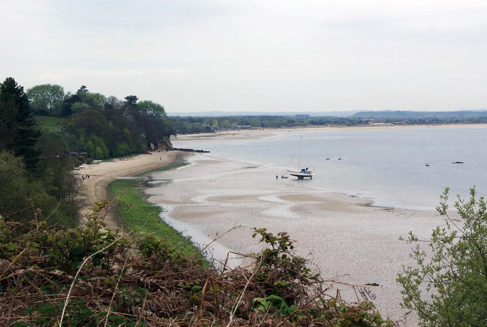
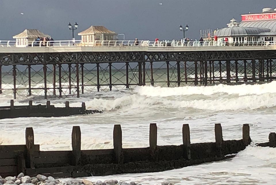
Six changing coastlines and how climate change could affect them
12/04/2022
We explore how parts of the British coastline are changing and what important factors we should consider in terms of natural hazards, adaptation and resilience.
UK Minerals Yearbook 2021 available to download
11/04/2022
The UK Minerals Yearbook 2021 provides essential information about the production, consumption and trade of UK minerals up to 2020.
BGS releases first in a series of new offshore maps of the UK seabed
06/04/2022
BGS has released the first high-resolution, offshore map in a new series featuring the seabed around the UK.
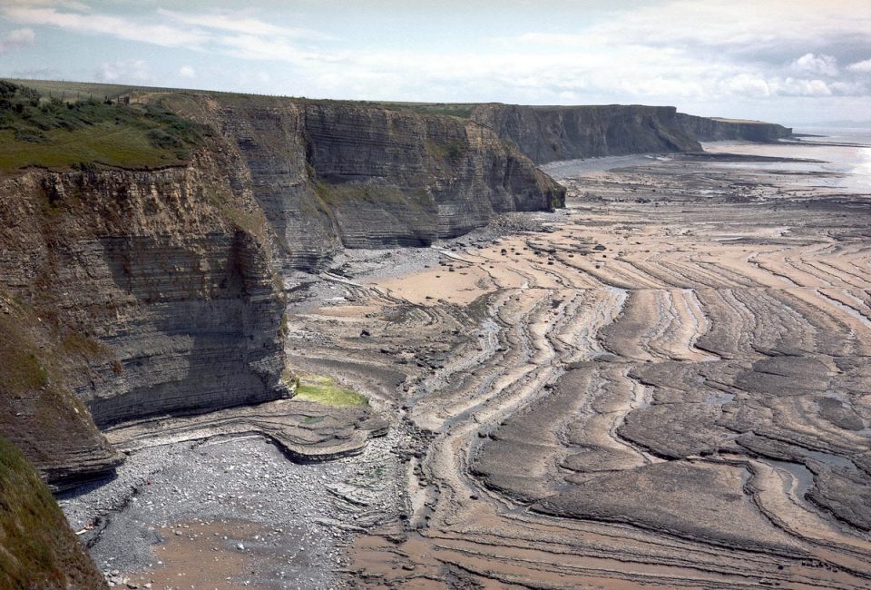
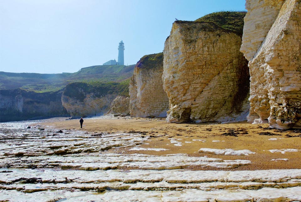
Sea level rise and coastal erosion: what’s the real impact?
05/04/2022
How much of an issue are coastal vulnerabilities and what do we need to consider to increase our resilience to future events?
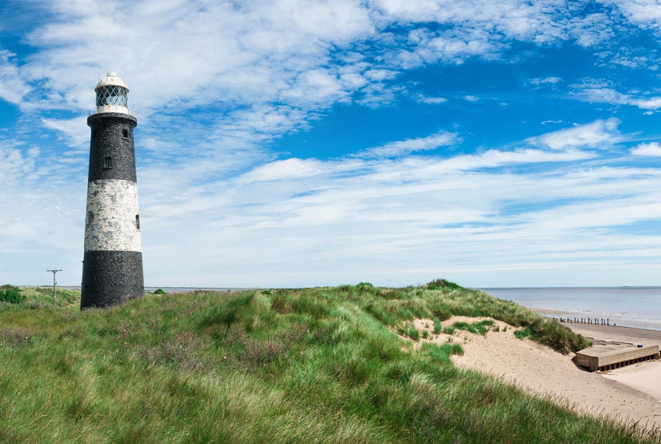
New BGS datasets for coastal management, planning and adaptation in the face of climate change
29/03/2022
BGS GeoCoast is a package of geospatial datasets designed to provide information on the geological conditions and constraints around the coastline of Britain.
GeoCoast dataset launch event
Event on 28/04/2022
BGS invites you to discover more about our new data product to underpin coastal decision making, resilience and adaptation.
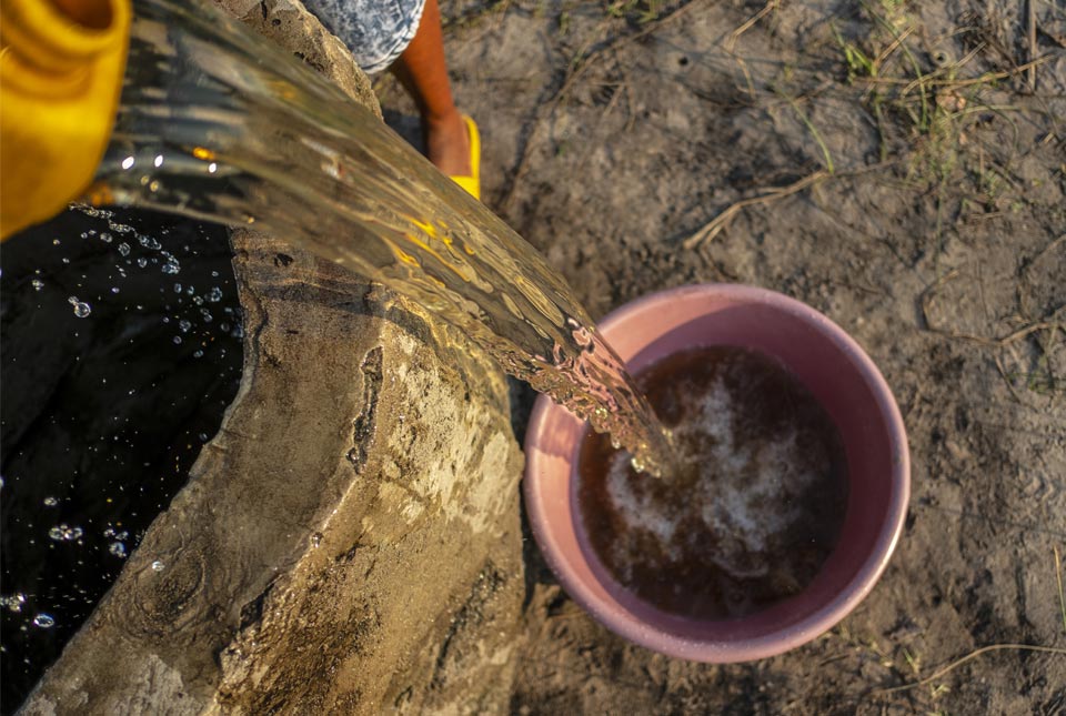
World Water Day 2022
22/03/2022
Groundwater: how BGS is helping to make the invisible visible
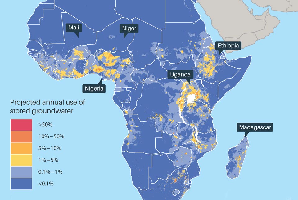
BGS and WaterAid publish new research on groundwater resilience
21/03/2022
Most African countries have enough groundwater reserves to face at least five years of drought, new research reveals