Latest

New NERC-funded project empowers young people to engage with environmental science
23/07/2026
BGS is part of a new, collaborative project, funded through NERC’s ‘Opening up the environment’ programme, helping the environmental research community become more accessible.

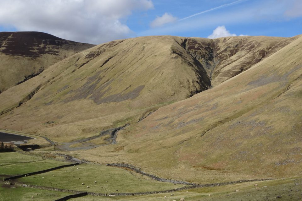
Delving deep into mountains for future water security
16/07/2026
A BGS-led project is using new water-tracing investigation methods, geophysics and modelling to understand how water moves from mountains to the lowlands, helping to improve water security for billions of people.


Building Europe’s geological future
20/07/2026
BGS scientists are contributing to a continent-wide initiative that is strengthening collaboration across borders to tackle shared subsurface challenges and unlock new opportunities.
Explore more news
Browse all news and events by category
Burrow-detecting devices could protect flood defences
23/01/2024
BGS scientists have trialled a new way of detecting animal burrows in clay flood embankments.
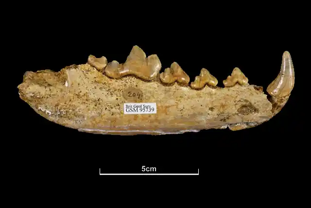
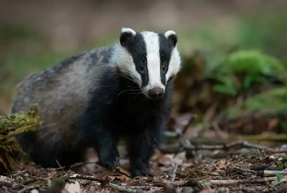
Hungry like a wolf: new insights from old bones housed in the BGS museum collections
18/01/2024
BGS scientists are studying the diets of ancient British wolves and how they adapted to changing environments.
How BGS is helping the farming sector of Great Britain
17/01/2024
New legislation concerning soil management and technology in modern farming has led to an increase in enquiries about BGS’s Soil Parent Material Model.
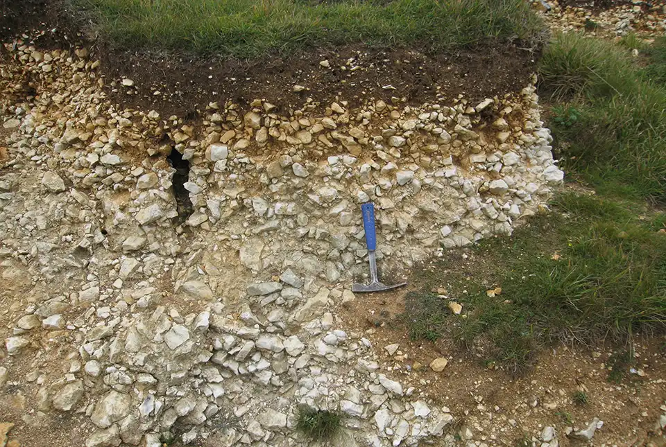
Moving stones: faults, slopes and sediments
12/01/2024
Fractured rock along faults affects sediment movement on slopes with implications for the design of infrastructure.
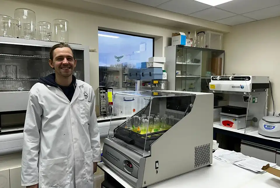
Understanding nutrients in tropical rainforests
11/01/2024
Christopher Bengt talks about carrying out research for his PhD amongst the rainforests and volcanoes of the Philippines.
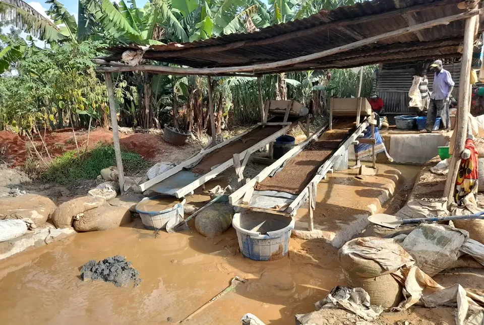
Linking geochemistry and health in artisanal and small-scale gold mining in the Kakamega-Vihiga gold belt, Kenya
09/01/2024
PhD candidate Maureene Auma Ondayo is investigating major and trace element exposure in the environment in Kenya, aiming to reduce exposure of humans to toxic chemicals.
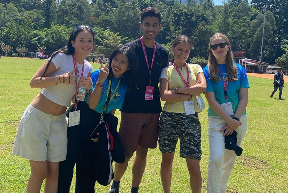
The Geography Olympiad: Bandung, Indonesia
22/12/2023
School student Dion Thompson joined Team UK at this year’s International Geology Olympiad in Indonesia. We hear from Dion’s mentor Anna Hicks, before Dion reports on the Olympiad itself.
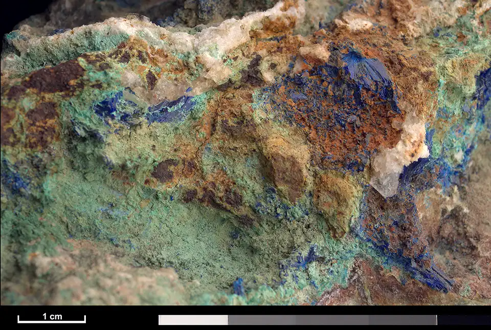
CMIC: critical minerals research review
21/12/2023
Matthew Reeves of Innovate UK provides an overview of the Critical Minerals Strategy, which sets out how the UK will go about securing its supply of critical minerals.