Latest

New NERC-funded project empowers young people to engage with environmental science
23/07/2026
BGS is part of a new, collaborative project, funded through NERC’s ‘Opening up the environment’ programme, helping the environmental research community become more accessible.

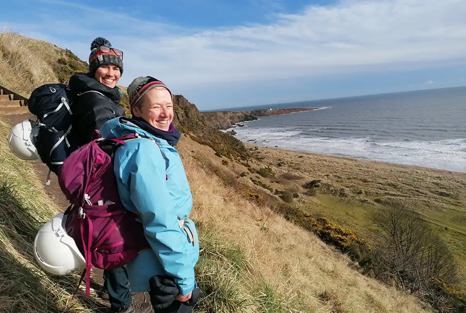
Delving deep into mountains for future water security
16/07/2026
A BGS-led project is using new water-tracing investigation methods, geophysics and modelling to understand how water moves from mountains to the lowlands, helping to improve water security for billions of people.


Building Europe’s geological future
20/07/2026
BGS scientists are contributing to a continent-wide initiative that is strengthening collaboration across borders to tackle shared subsurface challenges and unlock new opportunities.
Explore more news
Browse all news and events by category
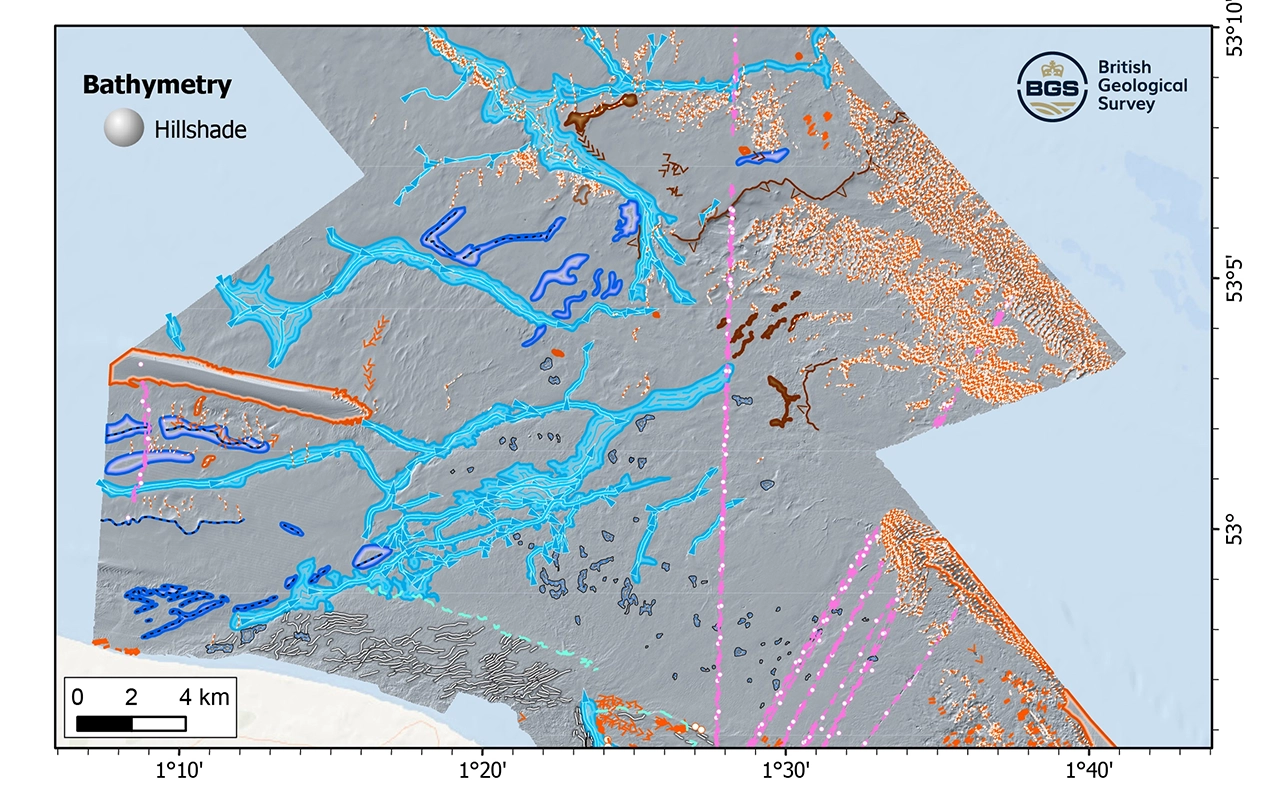
New research reveals the secrets of the seabed off the East Anglian coast
11/07/2024
New geological map will help in the hunt for new renewable energy opportunities whilst protecting delicate marine ecosystems.
Update released for BGS open-source database software, ETL Helper
09/07/2024
The software tool helps simplify the process of data transfer into and out of databases.
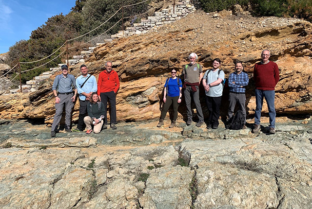
The heat beneath our feet: BGS field visit to Tuscan geothermal systems
05/07/2024
BGS visits the active and fossilised geothermal systems of southern Tuscany, Italy.
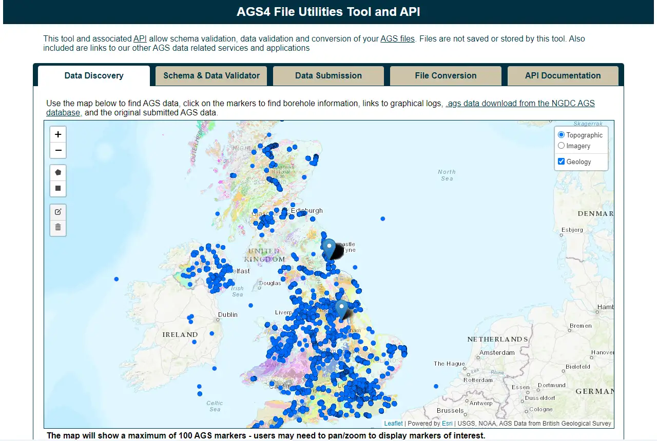
Update to BGS’s AGS file utilities tool released
19/06/2024
BGS has released significant updates to its online tool for validating geotechnical data held as AGS files. The update includes improvements to the tool’s user interface and the ability to convert AGS data into MS Excel files.

Quake it off: Taylor Swift concerts shake Edinburgh
13/06/2024
Seismometers around Edinburgh were triggered by the rapturous Murrayfield crowds over the weekend.
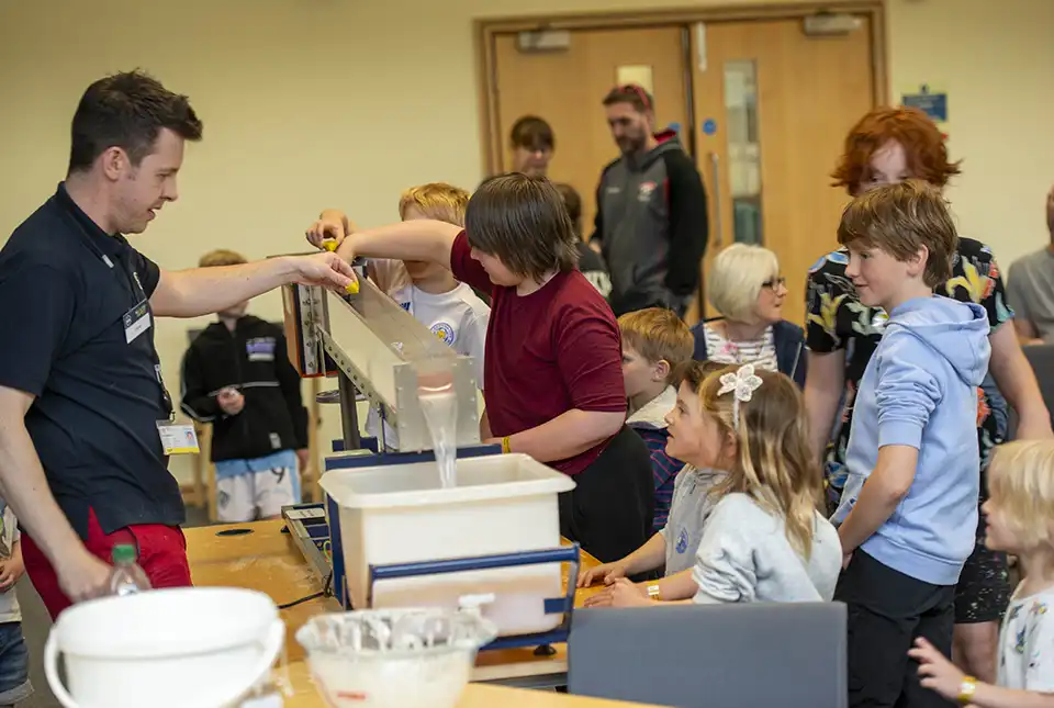
BGS opens its doors to visitors at its Open Day in Keyworth
12/06/2024
BGS hosted its bi-annual Open Day on 8 June 2024, welcoming more than 1000 visitors to its headquarters in Keyworth, Nottinghamshire.
BGS to update geological maps of Strathmore
10/06/2024
A three-year project has begun to revise geological maps of Strathmore, which were last surveyed nearly 100 years ago.
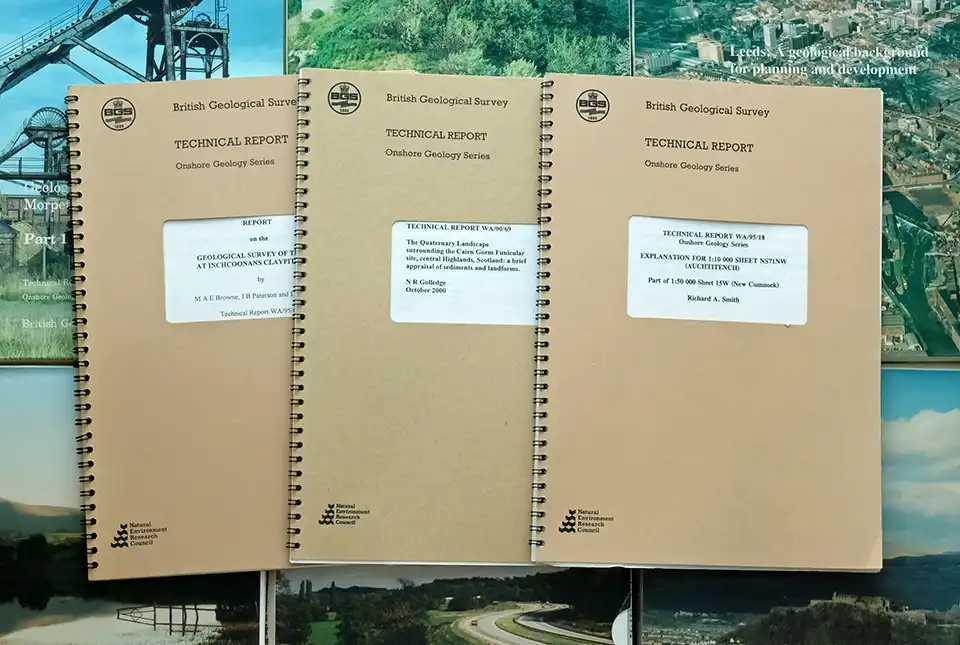
BGS’s National Geoscience Data Centre releases over 8000 technical reports
05/06/2024
The technical reports, covering the full spectrum of BGS activities and subjects, were produced between 1950 and 2000.