

Latest

New project mapping UK Continental Shelf provides boost to offshore infrastructure and development
22/10/2026
BGS is leading a three-year project funded by The Crown Estate to develop a new suite of seabed geology datasets and reports, providing crucial information for offshore developers about the seabed around the UK.
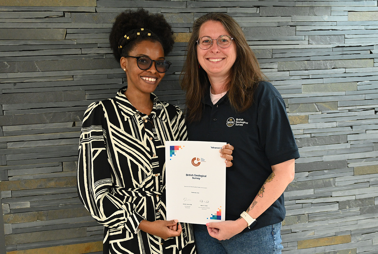
BGS one of the UK’s first specialist research institutes to receive Race Equality award
20/10/2026
BGS has secured Bronze accreditation under the Advance HE Race Equality Charter framework, recognising its commitment to identifying and addressing race equality issues in the geosciences.


Improving bioaccessibility testing for contaminated soils
15/10/2026
BGS has been trialling a novel bioaccessibility tracing technique to ascertain if it offers more analytical precision over traditional methods of detecting chemicals in contaminated soils.
Explore more news
Browse all news and events by category

Making research matter: BGS joins leading research organisations in new national initiative
10/12/2025
A new alliance of 35 organisations has been formed that is dedicated to advancing science for the benefit of people, communities, the economy and national priorities.

New 3D model to help mitigate groundwater flooding
08/12/2025
BGS has released a 3D geological model of Gateshead to enhance understanding of groundwater and improve the response to flooding.
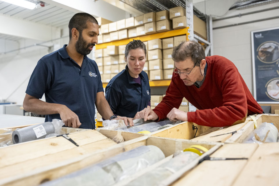
Scientists gain access to ‘once in a lifetime’ core from Great Glen Fault
01/12/2025
The geological core provides a cross-section through the UK’s largest fault zone, offering a rare insight into the formation of the Scottish Highlands.

New research shows artificial intelligence earthquake tools forecast aftershock risk in seconds
25/11/2025
Researchers from BGS and the universities of Edinburgh and Padua created the forecasting tools, which were trained on real earthquakes around the world.
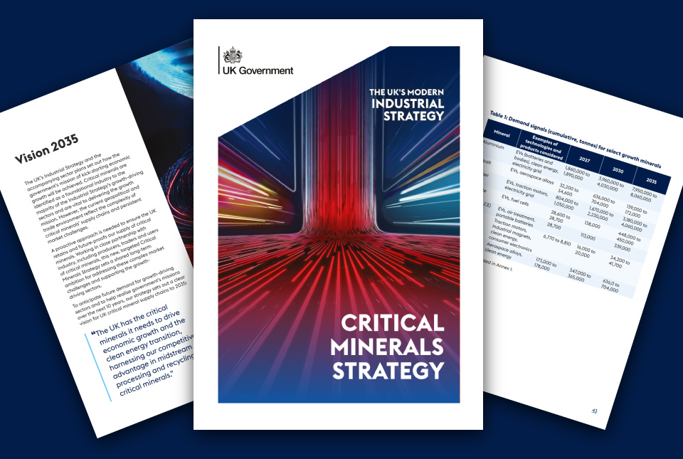
BGS welcomes publication of the UK Critical Minerals Strategy
23/11/2025
A clear strategic vision for the UK is crucial to secure the country’s long-term critical mineral supply chains and drive forward the Government’s economic growth agenda.

New funding awarded for UK geological storage research
21/11/2025
A project that aims to investigate the UK’s subsurface resource to support net zero has been awarded funding and is due to begin its research.
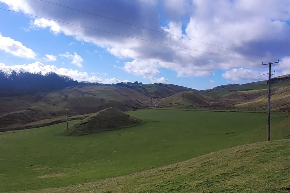
How the geology on our doorstep can help inform offshore infrastructure design
19/11/2025
BGS is part of a new collaboration using onshore field work to contextualise offshore data and update baseline geological models which can inform the sustainable use of marine resources.

UK braced for what could be the largest solar storm in over two decades
12/11/2025
Intense geomagnetic activity could disrupt technology such as communication systems, global positioning systems and satellite orbits.